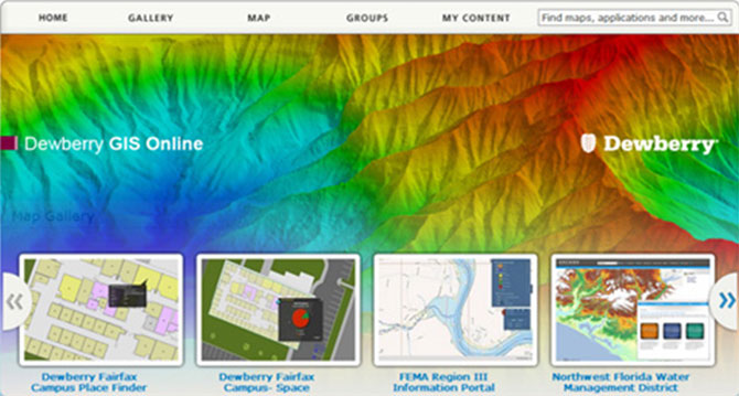
As Dewberry implements the latest cloud GIS technologies, we’ve leveraged Esri’s ArcGIS Online mapping platform to deploy an internal solution we call, Dewberry GIS Online (DGO). The ArcGIS Online mapping platform allows users to easily access maps, data, and applications from various business perspectives including facility planning, land development, community trend analyses, and design. Dewberry configured ArcGIS Online to allow users to conveniently access and share this information across multiple departments within our organization.
Accessibility
DGO can be accessed on smart phones and tablets via standard web browsers anywhere at any time. Also, it can be accessed seamlessly through the native ArcGIS applications available on the iOS, Android and Windows phone platforms. We provide distributed data through a single point of access, and instantly share it with anyone with a DGO account. DGO also allows users to share their work through Facebook, Twitter, and other social media outlets.
Flexibility
Using scaling techniques inherent to the cloud, DGO can expand to accommodate surges in user needs. Additionally our users are able to adjust transparency levels, incorporate graphs, images, links and videos; and can more easily embrace up-and-coming geospatial technologies to better enhance our data. This makes it easier for the audience to understand the map-making process, perform and display analysis, and customize the data for the user to better tell their story. We’re also able to publish information both publicly and privately, allowing us to share pertinent information with targeted audiences.
Our Experience Using Dewberry GIS Online
At Dewberry, we’ve collaborated with our engineers on various projects using DGO to improve our communications both in terms of managing internal projects and external program execution. A critical point is that we are empowering non-GIS users to exploit the power of geospatial analysis at a level they had never considered before. We created groups within DGO that focus on data, editing tools, maps and apps in support of our energy, oil, and gas services and leveraged DGO’s inherent mobility by accessing maps on site during field meetings with clients working on large development projects in Northern Virginia.
Throughout these projects we were able to quickly customize maps using authoritative data that Dewberry created, or attained from customers, along with publically available GIS data layers from various web mapping services including the ArcGIS Online community.
While DGO is a paradigm shift from traditional GIS deployment some of the basics are just as important as ever such as planning, architecture, data quality and standards. For example, data can be published once, and then reused limitlessly in your organization, in a sense; your data goes “viral” across the enterprise so data quality is more important than ever.
The experience Dewberry has gained with leveraging Esri’s ArcGIS Online mapping platform to deploy our internal solutions, DGO, we are now able to get ahead of the technology wave and provide the most advanced solutions to our clients’ needs exercising the power of the cloud and mobile computing. Dewberry is now prepared to provide consulting services to our customers for the successful configuration, deployment, and rollout of your ArcGIS Online subscription.