Large government entities are often tasked with making decisions that require understanding huge amounts of data. Their leadership needs to be versed on various aspects of an issue before they make a decision that will impact communities. Our geospatial and survey teams work together to gather and organize spatial data to make it simple for leaders to understand the information at hand, thereby empowering and informing their decisions. One recent instance of this type of project work took place when our Fairfax-based GIS team and mid-Atlantic surveying team supported Teton County, Wyoming.
Supporting Teton County
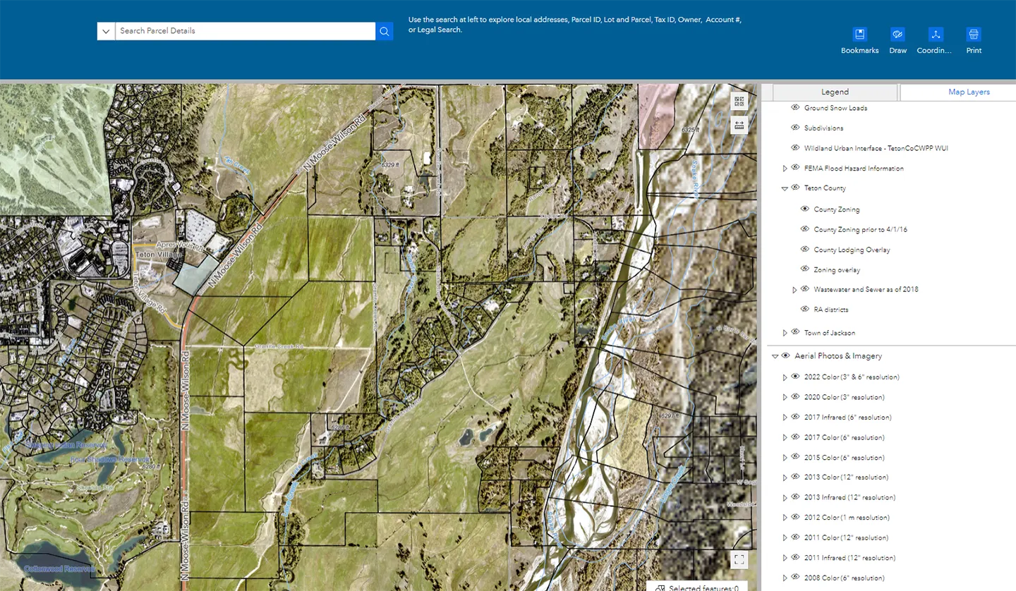
Our firm helped Teton County continue updating its asset portfolio of digital resources. The project includes assessing the current spatial data resource, collecting requirements, evaluating alternatives, designing a new solution, and deploying the new solution via cloud. Our team developed a comprehensive system through which Teton County can create, manage, secure, analyze, and visualize its spatial data. The new resource will lay a foundation for geospatial collection, layer creation, analytics, publishing, and visualization of environmental geospatial data across the U.S.
Although the project began as seemingly very GIS-focused, it was quickly realized that surveying services would be needed as well. Our team led by Erick Quintanilla was brought on when the client needed geodatabase land parcels updated using coordinate geometry (COGO) tools, which were not part of the original scope of the project.
Our geospatial and survey teams work together to gather and organize spatial data to make it simple for leaders to understand the information at hand, thereby empowering and informing their decisions.”
Kevin Christy and Erick Quintanilla
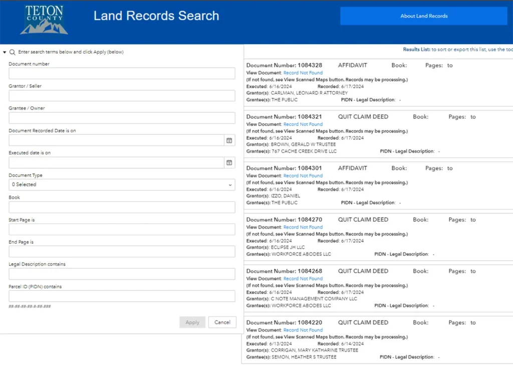
Through our internal communication systems, Erick was quickly able to connect with Kevin Christy’s team. The mid-Atlantic surveyors developed the land parcels and accompanying legal descriptions for the client, allowing Teton County to avoid the time and effort it would take to coordinate another organization to complete the land parcels. Erick’s team was also able to help our client discover some inconsistencies with its previous legal descriptions and suggest corrections for the future.
Benefitting Our Clients and Their Communities
Providing both GIS and survey services benefited Teton County by streamlining its project delivery. Being able to provide full service to the project eliminated the client’s need for additional lines of communication, while maintaining ease of making additional requests. This allowed Teton County to continue its project on schedule, despite the unexpected surveying services aspect of the project .
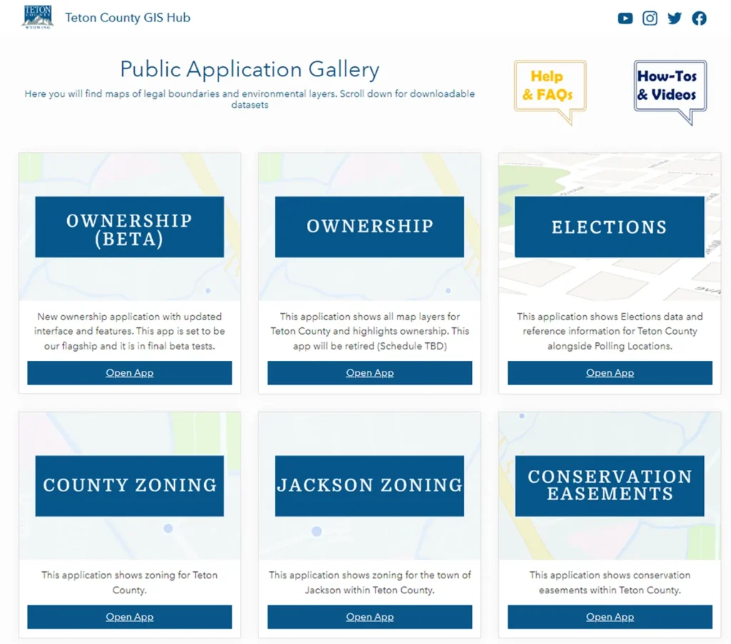
The main benefit to Teton County, however, is the work itself. Our developed tools allow the county to better understand its data, while our provided training will allow them to manage these tools moving forward. This will streamline decision making and help leaders prioritize where limited resources should be allocated. These tools are built to be shareable as well. With our developed website for the Teton County community, data can be shared and communicated to constituents to stay informed on things such as polling locations, zoning requirements, information on city and county works, and much more.
About the Authors

Kevin Christy