Skip to Content

Dewberry Acquires Second CZMIL SuperNova Sensor

Additional sensor provides opportunities for exploration of nearshore coastal and riverine environments.

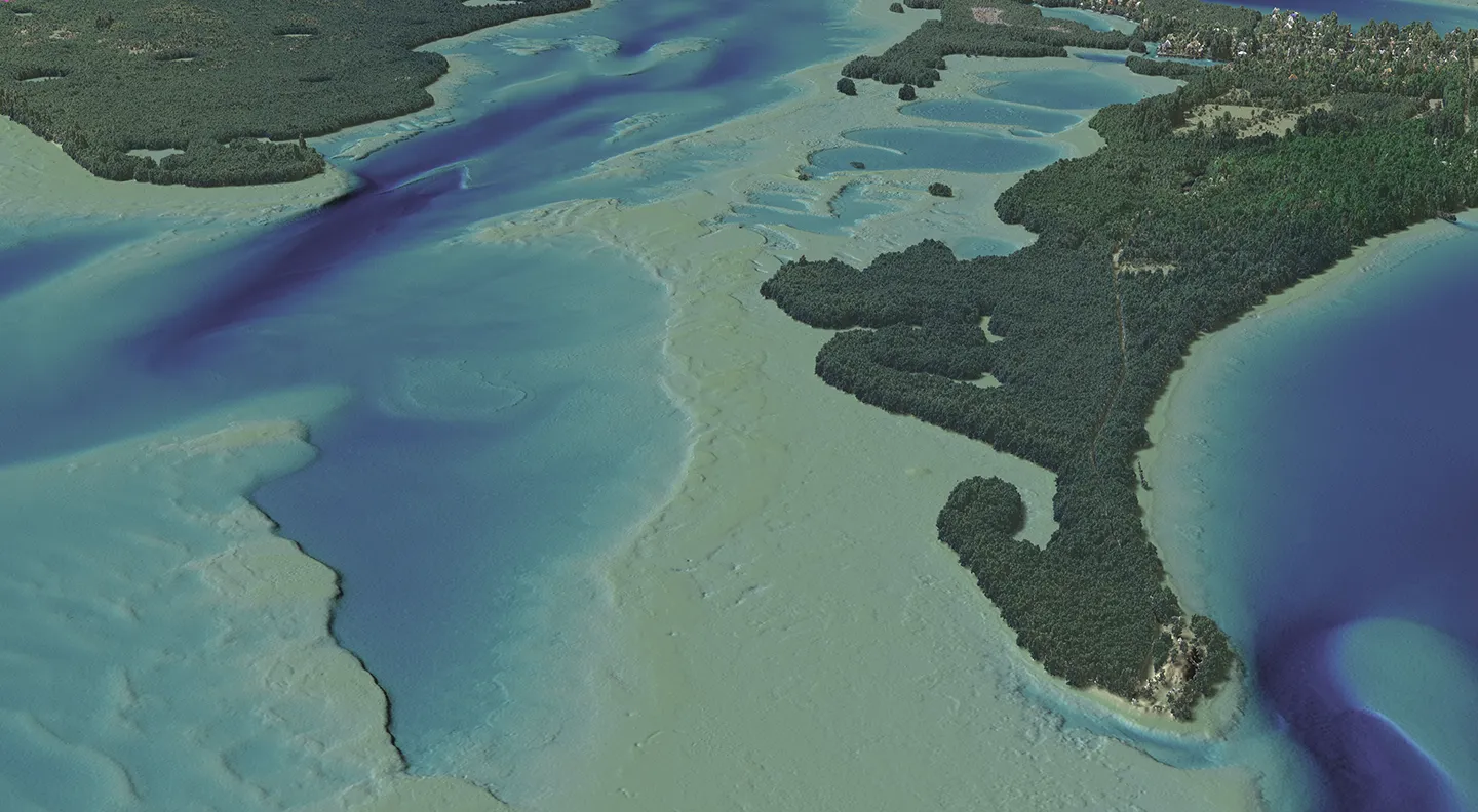
The high-density of the sensor presents new photographic capabilities for Tampa Bay, Florida’s shoreline. Photo courtesy of Dewberry.

Dewberry, a privately held professional services firm, has announced that the geospatial and technology services (GTS) group has purchased its second Teledyne Coastal Zone Mapping and Imaging Lidar (CZMIL) SuperNova sensor to acquire topographic and bathymetric data in areas typically inaccessible by boat, acoustic, or sonar sensors. The increased capacity will support Dewberry’s active federal, state/local, and commercial projects nationwide.

The CZMIL SuperNova sensor is equipped with a green laser to provide maximum depth penetration, coverage in turbid waters, and capabilities in coastal, wetland, and inland riverine mapping. This technology delivers clear topobathymetric digital elevation models with significant cost savings to the client. The sensor’s high-density and accuracy meet specifications required by the National Oceanic and Atmospheric Administration (NOAA), U.S. Army Corps of Engineers (USACE), and U.S. Geological Survey (USGS).

“I look forward to seeing the increased potential for topobathymetric mapping this second sensor will bring to our federal, state/local, and commercial projects,” says Associate Vice President Jason Dolf, CP, CMS. “Having two CZMIL SuperNova sensors provides new and exciting opportunities for mapping needs across the nation.”

Dewberry purchased its first CZMIL SuperNova sensor in 2021, which has been used to collect topobathymetric lidar data for numerous projects, including the Florida Seafloor Mapping Initiative for the Florida Department of Environmental Protection (FDEP), the Indian River Lagoon for NOAA-FDEP, the Potomac River in Maryland and Virginia for USGS, and NOAA’s shoreline mapping project across Big Bend and Tampa Bay, Florida.
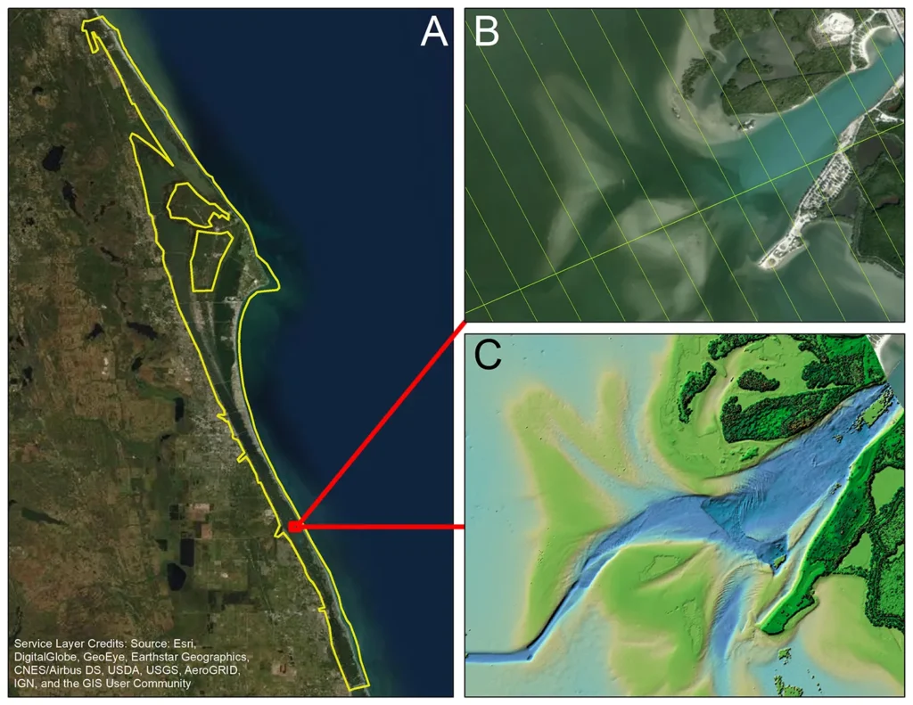
The sensor improves topographic and bathymetric mapping in Indian River Lagoon, Florida. Photo courtesy of Dewberry.
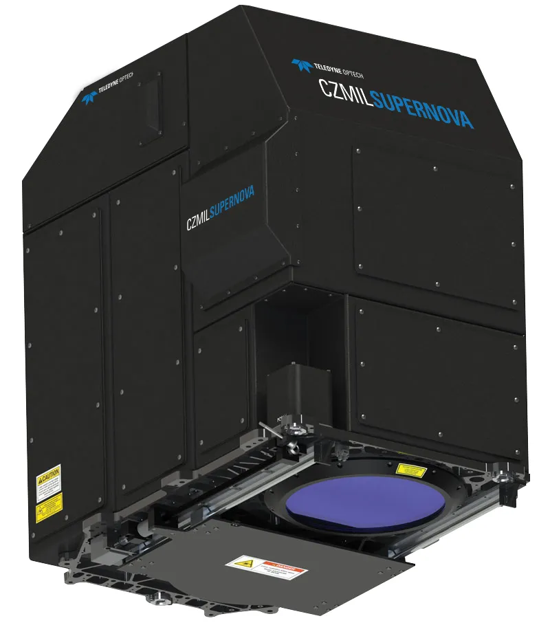
The second CZMIL SuperNova sensor increases capacity to support mapping projects nationwide. Photo courtesy of Teledyne.

Related Insights

Our approach combines a ground-based camera and traditional survey equipment to collect accurate data without physical contact with energized assets.

August 27, 2026

For decades, utilities have relied on mechanical calipers to measure transmission wire diameters. However, this approach requires survey crews to either climb transmission towers or maneuver heavy bucket trucks into energized zones, creating significant safety risks, operational challenges, and…

Blog

Integrating lidar and other 3D data into GIS gives utilities a detailed view of terrain and infrastructure, enabling more accurate transmission line and substation design, clearance analysis, and project planning.

August 20, 2026

Electric power utilities face many challenges today — rising power and supply chain costs, sharply increasing demand from large loads like data centers, major changes in federal energy policies, and a growing imperative to invest in grid hardening and resilience.

Blog

Dimensions®

Our annual review and corporate social responsibility report, in one place.