
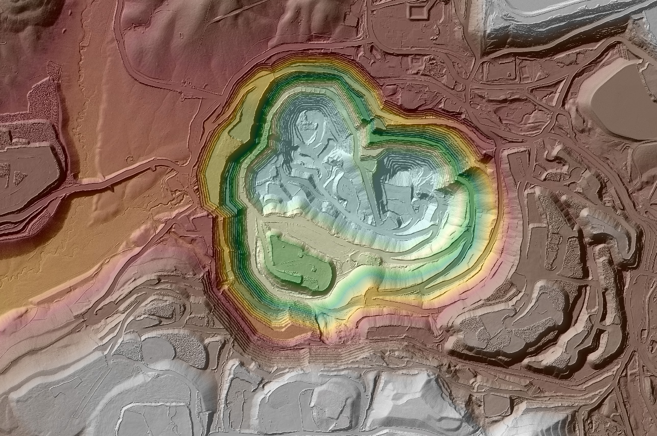
Dewberry, a privately held professional services firm, is currently overseeing three major task orders for airborne lidar acquisition and processing in the states of Montana, Nevada, and California. The projects include data acquisition for more than 44,000 square miles of land and will be used to update the U.S. Geological Survey’s (USGS) National Map, a resource available under the National Geospatial Program.
Dewberry has completed flights to acquire lidar data across northern Montana, with processing for high-resolution QL2 lidar topographic products currently underway. The updated maps will support the National Map as well as the operations of the U.S. Fish and Wildlife Service, an agency of the U.S. Department of the Interior; and the National Resources Conservation Service (NRCS), an agency of the U.S. Department of Agriculture.
The USGS Earth Mapping Resources Initiative and USGS 3D Elevation Program (3DEP), Department of Energy Geothermal Technologies Office, Natural Resources Conservation Services, and Bureau of Land Management have partnered to conduct airborne geophysical and 3DEP lidar surveys over parts of Nevada and California to collect information on undiscovered geothermal, critical mineral, and groundwater resources in the western Great Basin and the Walker Lane region. In Nevada, flights are underway to obtain lidar data within the eastern and central portions of the state. The new map products, which will cover many of the state’s mountainous areas, will be used in updating the National Map and to support the USGS Geoscience Data Acquisition for Western Nevada (GeoDAWN) project. The lidar acquisition project in southeastern California covers the Salton Sea region. The map products will aid in the update of the National Map as well as the Earth MRI program.
Flights for the task orders are among the first for which Dewberry is using its own sensor, a state-of-the-art REIGL VQ-1560 II-S topographic airborne lidar sensor. The firm has also acquired a Teledyne Optech Coastal Zone Mapping and Imaging Lidar (CZMIL) SuperNova sensor, a powerful topobathymetric mapping sensor. Both sensors feature 150 MegaPixel aerial mapping cameras and are installed in customized Cessna Caravan aircraft to acquire data.


