
Skip to Content

Dewberry Honored for Special Achievement in GIS

Firm selected from more than 300,000 eligible candidates.

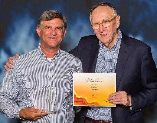
Dewberry’s Senior Vice President Phil Thiel with Esri Founder and President Jack Dangermond.

Esri, the global leader in spatial analytics, presented Dewberry with its Special Achievement in GIS (SAG) Award on July 12, 2017, at its annual user conference in San Diego, California. Selected from more than 300,000 eligible candidates, the firm received the award for its innovative application of technology, data fusion, geospatial information visualization, and thought leadership with GIS technology.

“The SAG Awards provide a great opportunity to showcase all the outstanding achievements of our users,” said Jack Dangermond, Esri founder and president. “The Special Achievement in GIS Award recognizes exemplary organizations implementing spatial analytics technology to change the world. Highlighting the good work of users—in industries ranging from commerce to government—benefits the entire GIS community, and that’s very valuable.”

Dewberry was selected for its work with the U.S. Geological Survey, National Geospatial-Intelligence Agency, Bureau of Land Management, and the state of Alaska. Senior Vice President Phil Thiel accepted the award from Dangermond. “It’s quite an honor to receive this award for something we love to do—helping our clients solve their most difficult problems.”


Related Insights

Our approach combines a ground-based camera and traditional survey equipment to collect accurate data without physical contact with energized assets.

August 27, 2026

For decades, utilities have relied on mechanical calipers to measure transmission wire diameters. However, this approach requires survey crews to either climb transmission towers or maneuver heavy bucket trucks into energized zones, creating significant safety risks, operational challenges, and…

Blog

Annandale Pickleball Facility

August 26, 2026

Our firm renovated a former sports center in Annandale, Virginia, into a modern, two-story sports complex with pickleball courts, golf simulators, a fitness center, and other amenities. With these updates, the space once again supports an active lifestyle for the community. We provided full…

Video

Integrating lidar and other 3D data into GIS gives utilities a detailed view of terrain and infrastructure, enabling more accurate transmission line and substation design, clearance analysis, and project planning.

August 20, 2026

Electric power utilities face many challenges today — rising power and supply chain costs, sharply increasing demand from large loads like data centers, major changes in federal energy policies, and a growing imperative to invest in grid hardening and resilience.

Blog

Dimensions®

Our annual review and corporate social responsibility report, in one place.
