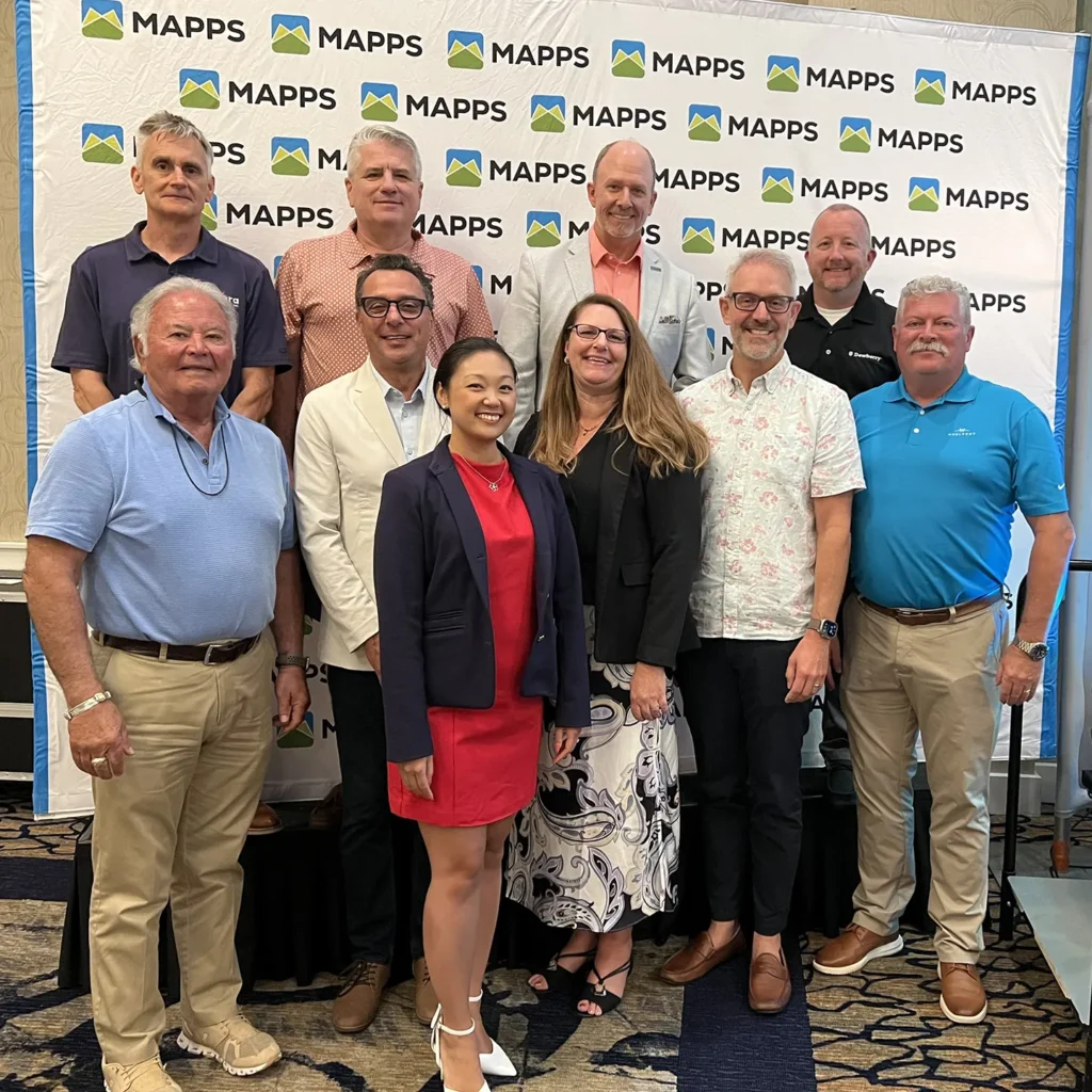
Dewberry, a privately held professional services firm, has announced that associate vice president and business unit manager, Jason Dolf, CP, CMS, has been elected to serve on the board of directors for the Management Association for Private Photogrammetric Surveyors (MAPPS). MAPPS is a national association representing firms across the geospatial industry dedicated to promoting and advancing economic opportunity, education, and professionalism for its member firms and the geospatial community.
Dolf has over 25 years of experience in the geospatial and public safety industries. His technical background includes photogrammetry, lidar, aviation, unmanned aircraft systems, geographic information systems, and emergency management. Dolf also serves as the aerial acquisition program manager for Dewberry, where he is responsible for the oversight and management of the aerial acquisition remote sensing assets and lidar calibration program.
“It is an honor to be elected to serve on the MAPPS board,” says Dolf. “I look forward to collaborating with dedicated geospatial professionals to help improve and advance the industry for professionals and clients.”
In January, Dolf finished his five-year role as the program committee chairperson for MAPPS, and will continue to support the new chairperson during the transition. He is also a member of the American Society of Photogrammetry and Remote Sensing. Dolf is a licensed private and remote pilot and serves with his county’s local emergency aerial response and fire rescue teams.