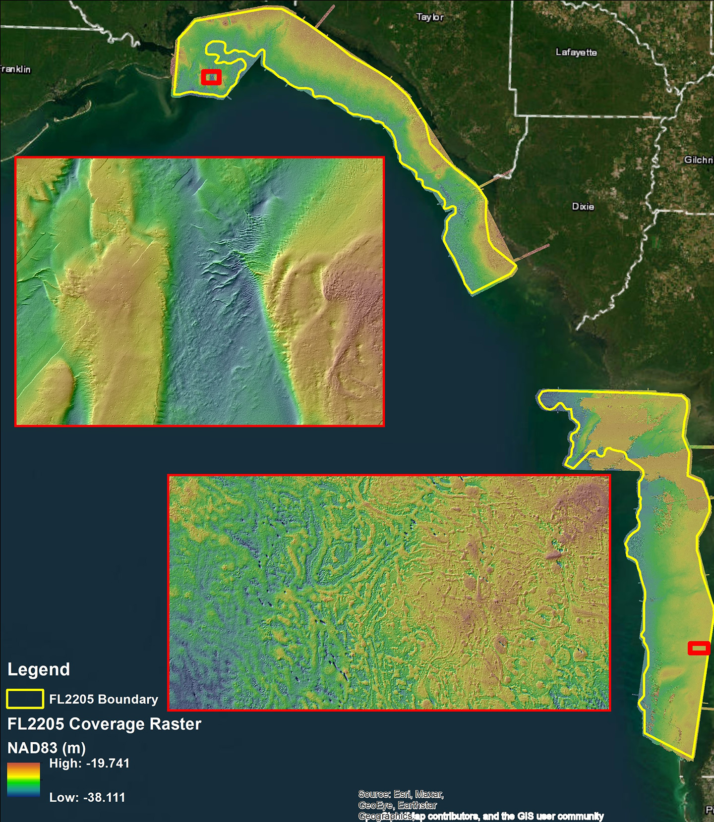
Dewberry, a privately held professional services firm, has announced that it was selected by the National Oceanic and Atmospheric Administration’s (NOAA) National Geodetic Survey (NGS) Remote Sensing Division (RSD) Coastal Mapping Program (CMP) to collect airborne topobathymetric lidar and imagery offshore from the Big Bend region of Florida. The project was mapped using Dewberry’s CZMIL SuperNova sensor, allowing bottom returns in deeper offshore areas and high-resolution data to benefit a greater number of end-users. The acquisition and interpretation of this data will contribute to NOAA’s larger shoreline mapping initiative and will serve to update and improve the accuracy of inundation modeling along the west coast of Florida.
The topobathymetric lidar acquisition for this project was completed in December 2022 and preliminary results are showing substantial coverage of bathymetric bottom returns throughout the entire project area, approximately 1,375 square miles, and beyond the project extents. These data are currently being processed and prepped for delivery to NOAA in the first half of 2023.
Funding for this project is part of the Bipartisan Infrastructure Law (BIL), which provides funding to improve infrastructure across the U.S., including an emphasis on the climate crisis and advancing environmental justice. Significant portions of the funding for this effort come from various allocations, including:
- Improving NOAA’s coastal and inland flood mapping, forecasting, and water modeling,
- Providing funding and technical assistance to restore marine, estuarine, and Great Lakes ecosystems, and to help prevent flood damage in coastal communities, and
- Supporting coastal resilience and restoration through National Oceans and Coastal Security Fund grants.
“In an effort to support NOAA’s goal of keeping the public informed of the changing environment, we’re excited to provide critical lidar data to the NOAA NGS RSD as part of its CMP,” says Dewberry Project Manager Emily Klipp. “By using our CZMIL SuperNova sensor, we’re able to continue and enhance an ongoing partnership with NOAA that provides them with this important data.”