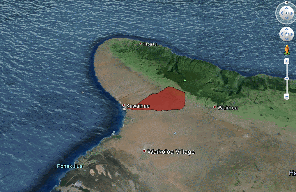
Dewberry has been contracted by the National Oceanic and Atmospheric Association (NOAA) Office for Coastal Management to collect and deliver topographic elevation point data derived from multiple return light detection and ranging (lidar) measurements for the Pelekane Watershed on Hawaii’s Big Island.
The data produced will help local hydrologists and watershed managers identify soil erosion hotspots and formulate sediment budgets. Dewberry will perform data collection, processing, accuracy assessments, and delivery along with providing all necessary labor, equipment, material, software, and supplies.