Dewberry has been selected by the Capitol Region Council of Governments to perform comprehensive quality assurance/quality control (QA/QC) services for Connecticut’s recently acquired statewide data collection. The firm will survey 3-D QA/QC checkpoints, test the horizontal and/or vertical accuracy of geospatial products, and perform qualitative assessments of orthoimagery and lidar.
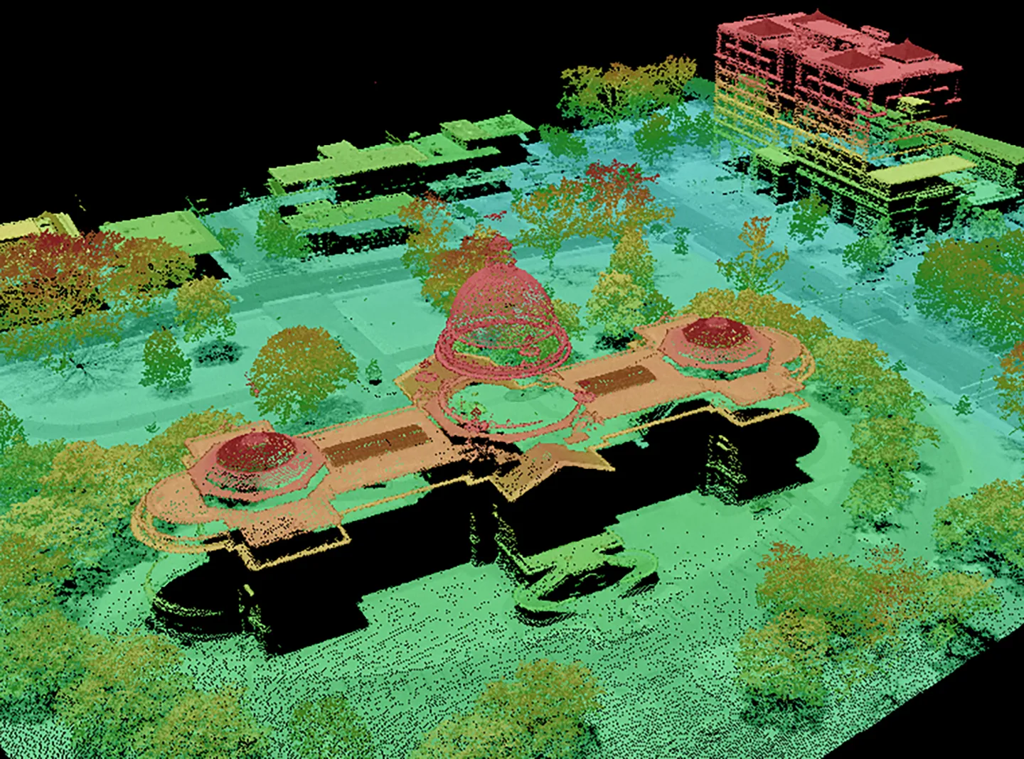
The Sanborn Map Company recently completed the orthoimaging project, which provides Connecticut with high-resolution imagery of the entire state and coastline. Sanborn collected more than 42,500 4-band, 3-inch resolution images; more than 6,000 coastline images during low tide; and more than 5,200 square miles of high-density lidar data.
Dewberry has developed a quality plan with detailed acceptance criteria for the orthoimagery and lidar. Sanborn’s mapping products, to be delivered later this year, will include 3-inch ground sample distance (GSD) orthoimagery, U.S. Geological Survey QL2 lidar data, bare Earth digital elevation models, and 1-foot contour maps. When reviewed and complete, the products will be available to the public through Connecticut’s Open Data Initiative.