
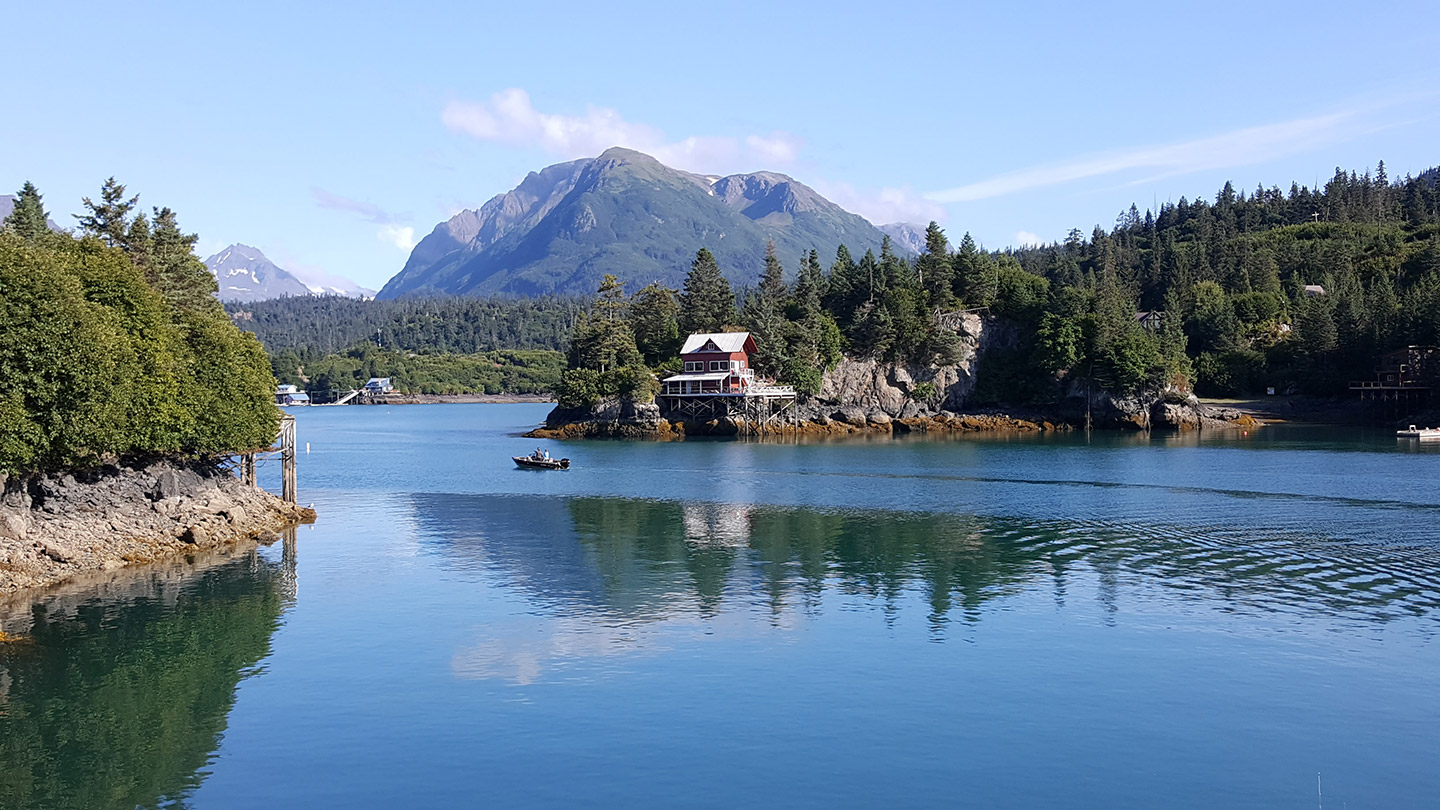
The National Oceanic and Atmospheric Administration’s (NOAA) National Geodetic Survey (NGS) has selected Dewberry, a privately held professional services firm, to continue coordinating the Alaska Mapping Executive Committee’s (AMEC) Coastal subcommittee. The firm will continue to provide planning support, data analysis, and stakeholder coordination to assist in the successful implementation of the Alaska Coastal Mapping Strategy (ACMS).
The ACMS seeks to modernize and complete the mapping of Alaska’s coastal areas, which will benefit administrative boundary determination, natural resource development, hazard assessments, flood modeling, cultural resource stewardship, and maritime navigation safety.
“Alaska has the longest coastline in the nation,” says Dewberry Project Manager Hillary Palmer. “Because much of it is unmapped, or the existing data is insufficient for deriving the mapping products that stakeholders and agency partners require, technology vendors and government subject matter experts are working to come up with innovative ways to accomplish this monumental task.”
Last year, in addition to authoring reports on the cost and capabilities of various mapping technologies, Dewberry’s mapping team focused on building collaborative tools that leverage geospatial technology, including public-facing websites powered by ArcGIS Hub, a dashboard for coordinating mapping data acquisition plans, and using interactive web applications to create a common operating picture. This year, the firm will synthesize results from a series of mapping prioritization exercises, compare those with areas of existing adequate data, and finalize a mapping plan of action.


