Dewberry, a privately
held professional services firm, has announced that the National Oceanic and
Atmospheric Administration’s (NOAA) National Geodetic Survey (NGS) Remote
Sensing Division (RSD) Coastal Mapping Program (CMP) selected Dewberry to
collect and process airborne topobathymetric lidar and digital camera imagery.
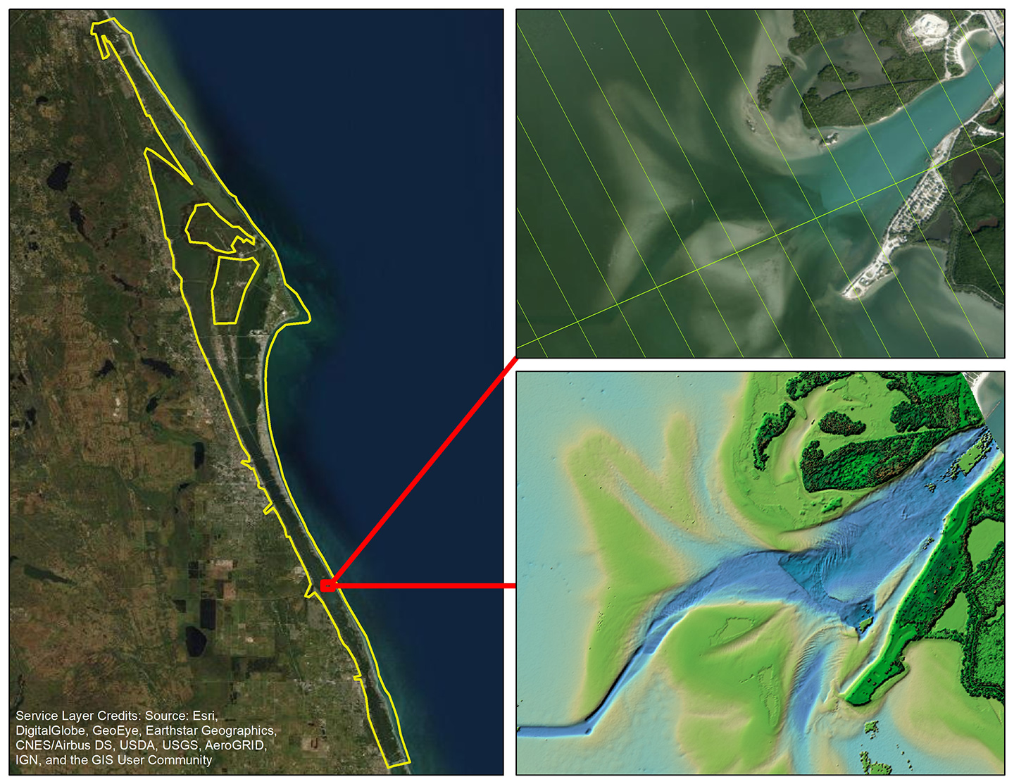
These data will enable accurate and consistent measurement of the national shoreline and update the bathymetry in the Indian River Lagoon. The project covers more than 600 square miles of Florida’s east coast and will be used by the St. John’s River Water Management District and the Florida Department of Environmental Protection (FDEP) to create better models to predict storm surge and flooding, and better assist in planning for increased resilience in coastal communities experiencing rising sea levels. National shoreline data from this survey will provide critical baseline information to update nautical charts; define the nation’s territorial limits, including the exclusive economic zone; and manage coastal resources. The derived shoreline is applied to nautical charts and is considered authoritative when determining the official shoreline for the U.S.
“This project allows us to utilize our new CZMIL SuperNova remote sensor in support of NOAA’s mission to support many federal, state, and local coastal mapping needs,” says Senior Vice President Amar Nayegandhi, CP, CMS, GISP. “We’re excited to help NOAA and its partners continue their efforts to use state-of-the-art technology to update coastal bathymetry and maintain a consistent shoreline nationwide.”