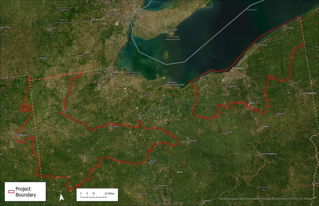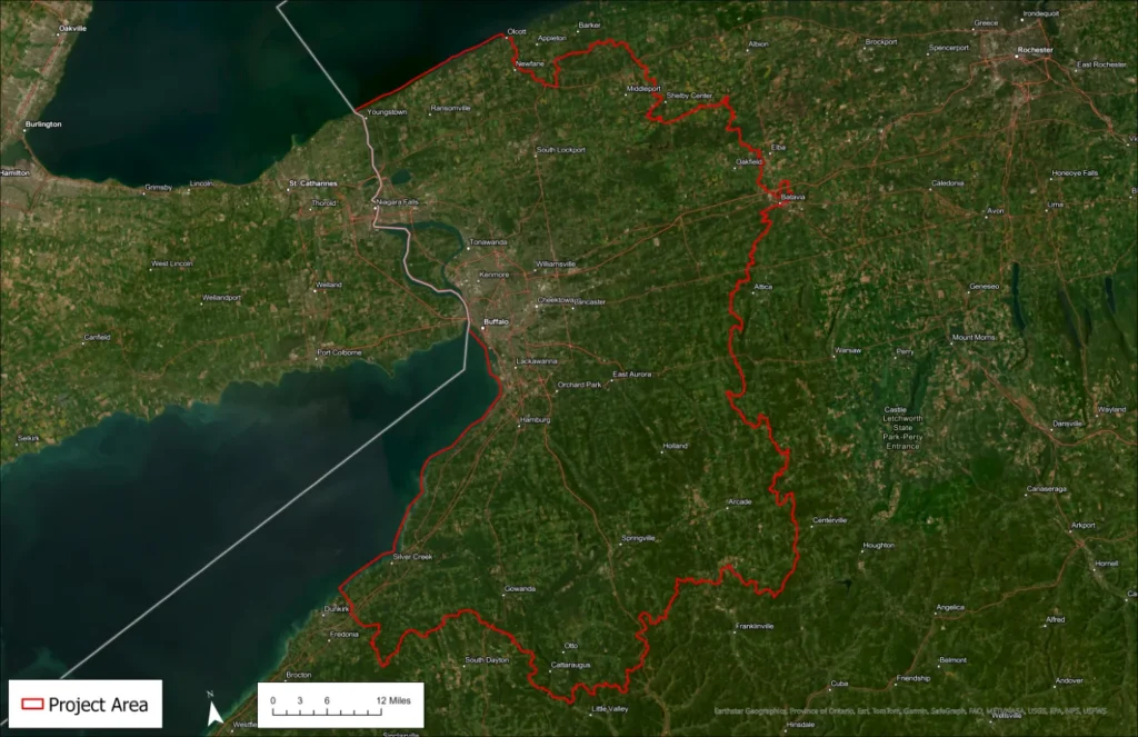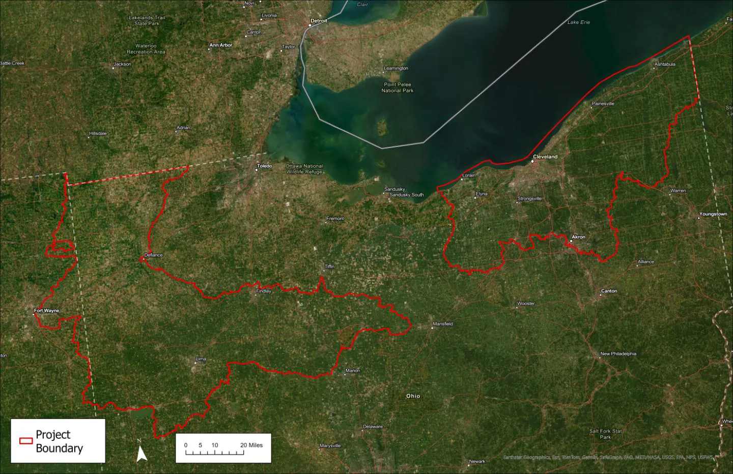
Dewberry, a privately held professional services firm, announced that it has been selected to provide mapping services for the U.S. Fish and Wildlife Service’s (FWS) National Wetlands Inventory. Data collected will be used to monitor the abundance, characteristics, and distribution of wetlands in the U.S. The firm will use remote sensing data to map the boundary for each wetland and classify them according to the Classification of Wetlands and Deepwater Habitats of the United States.
Much of the nation has already been mapped, however, maps are updated as the environment changes over time. Dewberry will provide data for areas in northern Ohio and western New York, approximately 6.7 million acres total.
“Wetlands are highly valuable ecosystems for our environment and the organisms within it,” says Dewberry Senior Project Manager Keith Patterson, PSM, SP, GISP. “We look forward to supporting the FWS as it provides valuable wetlands data to the public and encourages informed decision-making.”