Skip to Content

Dewberry Awarded IDIQ Contract in Support of Coastal Mapping Program

Firm to support NOAA’s NGS shoreline mapping program.

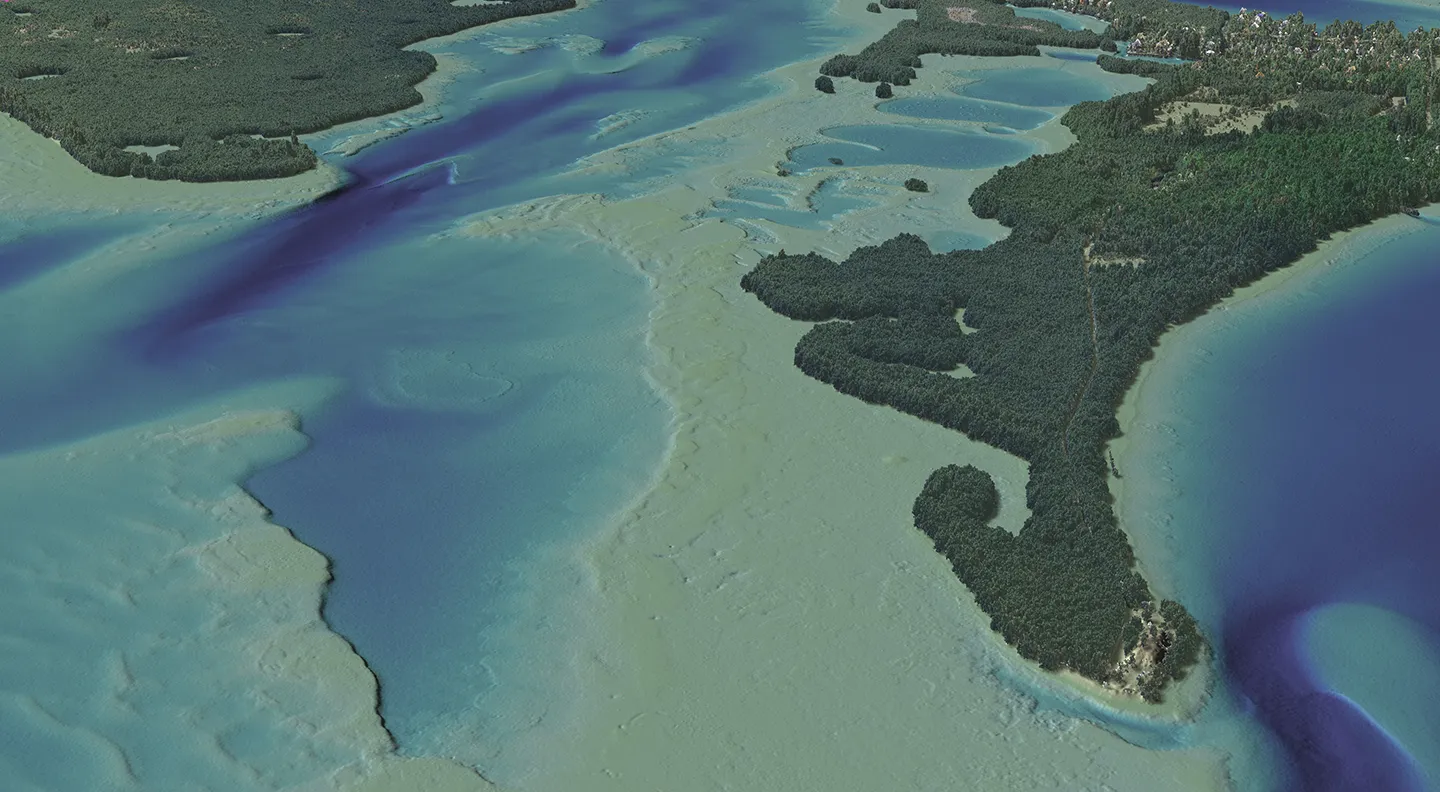
Dewberry completed a mapping project in southern Tampa Bay, Florida, to aid navigational efforts and assist in creating storm surge models for NOAA’s NGS.

The National Oceanic and Atmospheric Administration’s (NOAA) National Geodetic Survey (NGS) has selected Dewberry, a privately held professional services firm, to support its shoreline mapping contract. The $250-million indefinite-delivery/indefinite-quantity (IDIQ) contract supports NOAA’s efforts in the collection of airborne topographic/bathymetric Light Detection and Ranging (lidar) and aerial imagery data to enable accurate and consistent measurement of the national shoreline to define America’s marine territorial limits and manage coastal resources. This shoreline is applied to NOAA nautical charts and is considered authoritative when determining the official shoreline for the United States.

This is Dewberry’s third consecutive shoreline mapping services contract for NOAA. Over the past 15 years we have partnered with NGS by bringing a combination of coastal geospatial expertise, innovative approaches, industry-leading subject matter experts, and program management expertise to support this mission. Under this new IDIQ contract, task orders will include collecting geospatial products and services from ground, aircraft, boat and/or satellite-based sensors with positioning and orientation parameters; conducting ground geodetic surveys using conventional or precise Global Navigation Satellite System methods; installing tide gauges and tidal benchmarks and making tidal and leveling observations; performing Aero Triangulation; conducting digital map compilation with attribution; producing orthophotos; controlling quality, including equipment calibrations; and processing imagery and lidar products.

“Our team is honored to support NOAA in its mission to update the national shoreline,” says Dewberry President Phil Thiel. “We strive to leverage the most fitting technologies and solutions for NOAA and its numerous stakeholders.”

Related Insights

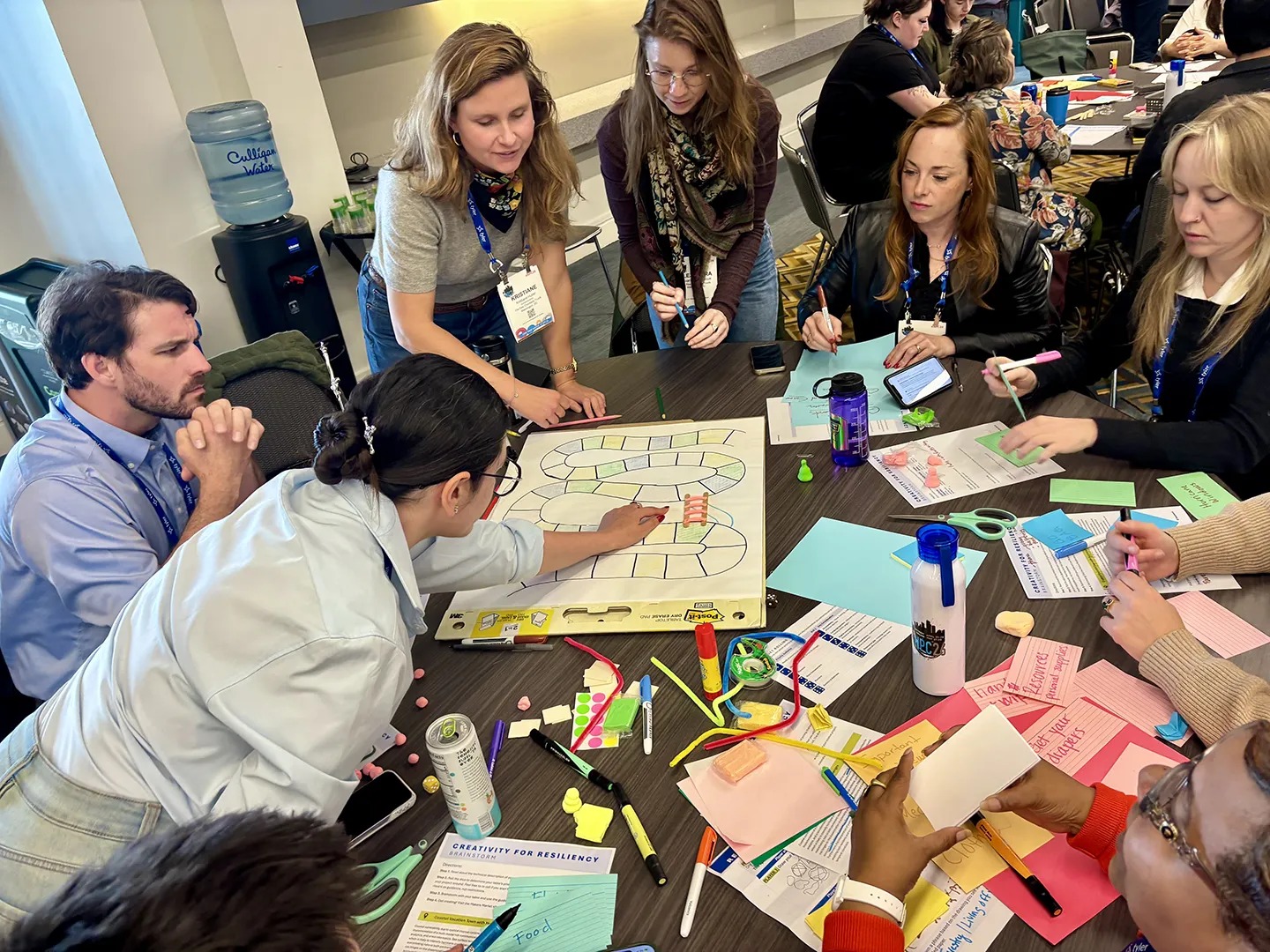
Working in groups, participants developed creative prototypes, including collages, games, plays, parks, fairs, and other engagement tools, to inspire community action.

September 24, 2026

This year, National Preparedness Month focuses on getting back to the essentials of preparedness, starting with understanding community risk. For resilience planners, knowing the risk is only the beginning. We also need to communicate risk in ways that are clear, relevant, and actionable for…

Blog

Healthcare Construction & Operations News

September 23, 2026

In this article for Healthcare Construction & Operations News, Melissa Covington and Heather Platt, PE, CHC discuss the modernization of Oklahoma State University Medical Center's labor and delivery facilities while maintaining ongoing hospital operations. The authors highlight the planning, collaboration, and innovative design solutions required to upgrade critical healthcare spaces within an existing facility and share key lessons learned for healthcare renovation projects.

Publication

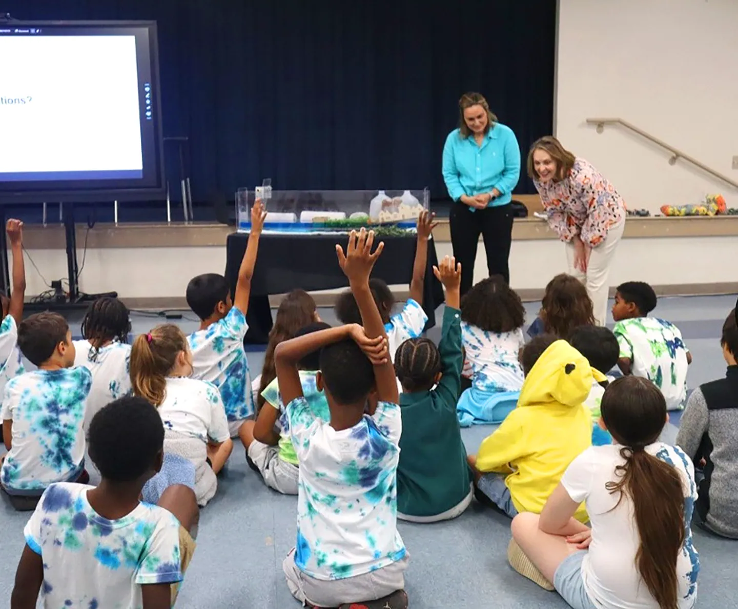
Following an urban heat assessment and resilience planning project, we supported Hillsborough County’s “Classroom to Canopy” event, where we conducted a classroom demo of coastal flooding and a tree planting activity onsite.

September 9, 2026

Florida’s recent experience dealing with climate challenges has led to a greater understanding of what action is needed to build towards a more resilient future. These lessons learned help to inform Florida’s resilience playbook and have spurred innovation to tackle some of the state’s most…

Blog

Dimensions®

Our annual review and corporate social responsibility report, in one place.