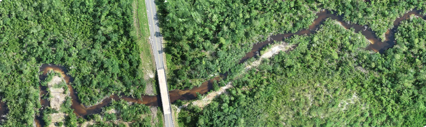
Dewberry is proceeding with a task order from the Federal Emergency Management Agency (FEMA) for imagery and data interpretation of the recent Louisiana floods under the U.S. Department of Homeland Security’s strategic source indefinite delivery, indefinite quantity, remote sensing to support incident management and homeland security contract.
The firm will determine impacts from the heavy rains, flash floods, and inland riverine flooding in the state. Imagery and other source materials regarding the areas of interest will be interpreted to provide flood extents; an enumeration and typing of damaged buildings; a classification of individual building damage levels; and an analysis of infrastructure damage, isolated communities, and debris accumulation resulting from the flooding events. Imagery and relevant data will range from Civil Air Patrol geotagged digital images, Synthetic Aperture Radar, field reports, and other damage observations.
Within 48 hours of the task order award, initial assessments were available and will continue to be updated as new ones are completed or as imagery is further processed. Damage assessment progress maps will be updated and sent daily until the task is complete.
Dewberry has already used National Oceanic and Atmospheric Administration Advanced Hydrologic Prediction Service (NOAA AHPS) to analyze the peak crest dates and elevations and found that historic flood crest records have been exceeded. NOAA AHPS will continue to be used to assist in the data planning and acquisition. As more information is collected, the firm will refine the flood extent boundaries created during initial assessments. Dewberry will also create a grid based on the U.S. National Grid over the areas of interest, analyzing damages to each section. This will indicate damage assessment progress and be provided to FEMA every day.