Dewberry, as a partner in the STARR II Joint Venture, has been selected by FEMA through competitive procedures for the agency’s five-year Production and Technical Services (PTS) contract to provide A/E services for FEMA’s Risk MAP Program. The consulting team, which includes Atkins and Stantec, has been serving FEMA on a similar contract for the past six years and is one of three teams selected for the new contract.
The indefinite delivery/indefinite quantity contract, valued at up to $300 million, will encompass regional flood hazard mapping, risk management, and post-disaster services to support FEMA Regions 8, 9, and 10, consisting of 12 states in the western U.S. along with five territories. The team will establish a Regional Service Center for FEMA Region 8 in Denver. Known as Zone 3, the area covers geography that is affected by seismic activity, flash flooding, erosion, landslides, and wildfires in addition to riverine and coastal flooding.
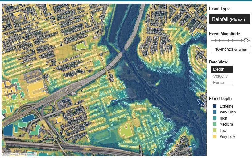
The PTS services, including flood mapping and modeling, will support the FEMA/Federal Insurance and Mitigation Administration’s (FIMA) Risk Mapping, Assessment, and Planning (Risk MAP) program. The joint venture will assist in generating and evaluating flood hazard and risk information and support the development and implementation of mitigation, planning, and resilience activities.
Dewberry, a privately held professional services firm, has supported FEMA with flood hazard mapping and risk management services for more than 45 years. For the most recent contract, the firm provided extensive post-disaster work in Puerto Rico, the U.S. Virgin Islands, and Texas after a series of destructive storms in 2017, including Hurricanes Harvey, Irma, and Maria. The work included developing applications for $160 million in disaster mitigation projects in Texas and $340 million in projects in the U.S. Virgin Islands. For Puerto Rico, Dewberry provided post-disaster advisory mapping to guide rebuilding efforts and developed methods for expedited coastal modeling and mapping for public use. The firm has also supported FEMA in piloting probabilistic flood risk assessments.