Skip to Content

Dewberry Selected to Support Florida Seafloor Mapping Initiative

Firm to provide topobathymetric lidar for Florida’s Gulf Coast.

Dewberry is providing topobathymetric lidar for Florida’s Gulf Coast as part of an effort to capture statewide bathymetric lidar to the 20-meter isobath and acoustic/sonar soundings from the 20-meter isobath to the 200-meter isobath.

Dewberry, a privately held professional services firm, has announced it was selected by the Florida Department of Environmental Protection (FDEP) and Office of Resilience and Coastal Protection (ORCP) to support the Florida Seafloor Mapping Initiative (FSMI), an effort to capture statewide bathymetric lidar to the 20-meter isobath and acoustic/sonar soundings from the 20-meter isobath to the 200-meter isobath.

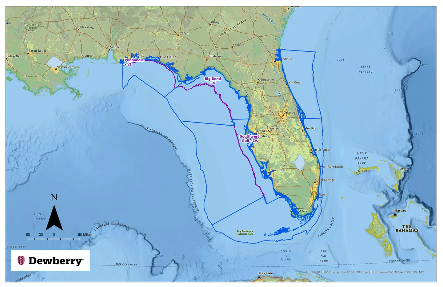
Dewberry was selected to provide topobathymetric lidar mapping for the entire Gulf Coast of Florida, beginning in the western Panhandle and continuing south through Naples. This area includes Southwest Gulf – Region IV, Big Bend – Region V, and Panhandle – Region VI.

“We’re excited to support the state of Florida on this important initiative,” says Dewberry Senior Associate and Project Manager Emily Klipp. “The data we collect with our CZMIL SuperNova sensors will be a valuable tool to guide resilience and coastal protection officials as they navigate the increasing environmental challenges faced by the state.”

For more information on the FSMI, visit FDEP, ORCP, and Florida Geographic Information Office (FGIO) for timelines and anticipated schedules. Find a StoryMap with collection regions, progress updates, and processing status here.
Related Insights

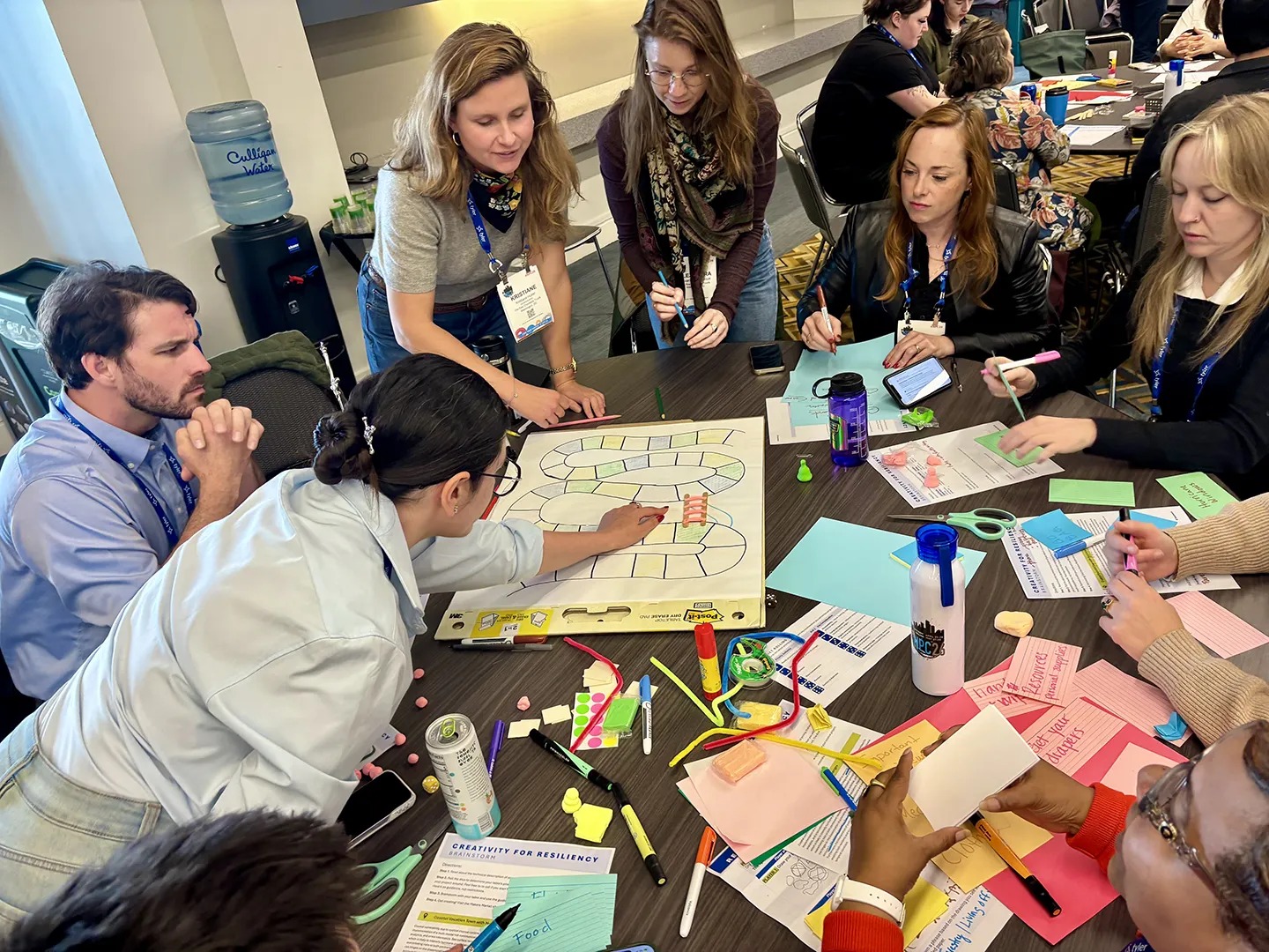
Working in groups, participants developed creative prototypes, including collages, games, plays, parks, fairs, and other engagement tools, to inspire community action.

September 24, 2026

This year, National Preparedness Month focuses on getting back to the essentials of preparedness, starting with understanding community risk. For resilience planners, knowing the risk is only the beginning. We also need to communicate risk in ways that are clear, relevant, and actionable for…

Blog

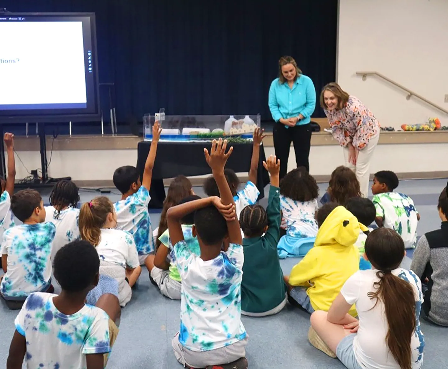
Following an urban heat assessment and resilience planning project, we supported Hillsborough County’s “Classroom to Canopy” event, where we conducted a classroom demo of coastal flooding and a tree planting activity onsite.

September 9, 2026

Florida’s recent experience dealing with climate challenges has led to a greater understanding of what action is needed to build towards a more resilient future. These lessons learned help to inform Florida’s resilience playbook and have spurred innovation to tackle some of the state’s most…

Blog

Dimensions®

Our annual review and corporate social responsibility report, in one place.