Dewberry was recently selected to perform coastal lidar analysis for four South Carolina counties: Georgetown, Williamsburg, Berkeley, and Charleston.
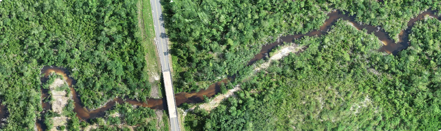
Dewberry will collect and process lidar and derivative products for the counties. The project is to be completed for the South Carolina Department of Natural Resources (DNR) and includes the collection of lidar at two points per square meter, digital elevation models (DEMs), and detailed single line stream and culvert hydrography. Data for Georgetown and Charleston counties will be collected with tidal requirements of roughly two hours around the predicted mean lower low water (MLLW).
In its entirety, the project will cover an aerial extent of 4,112 miles plus a 1,000-foot buffer. “We’re excited to perform this analysis for these South Carolina counties,” said Dewberry Associate and Project Manager Josh Novac, GISP. “Being able to provide this kind of data for the communities is an important role in guiding them toward becoming more resilient.”