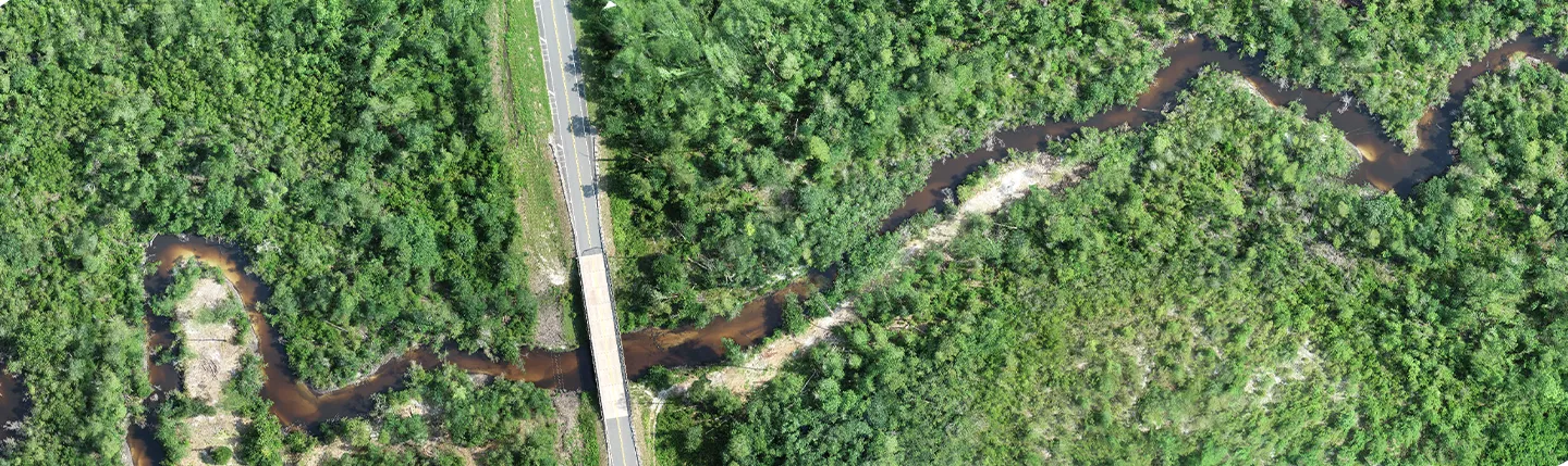
Dewberry has been selected by the Leon Board of County Commissioners to provide aerial photography, survey control, aerotriangulation, and planimetric and topographic mapping services using advanced airborne lidar technology. These materials and services will be used to update the existing systems’ approximate 780-square-mile land base of the Tallahassee-Leon County Geographic Information Systems (TLCGIS) joint project.
TLCGIS is a local inter-governmental mapping agency serving the citizens of Tallahassee and Leon County. The participating local government entities are the Leon County Board of County Commissioners, the City of Tallahassee, and the Leon County Property Appraiser’s Office. The mission of TLCGIS is to serve the residents of Tallahassee and Leon County through GIS data development, geospatial analysis, and the development of GIS applications for use by local government staff and the public.
“We’re excited to work alongside TLCGIS to provide them with updated lidar information, contributing to its online catalogue of geographic information system data,” said Dewberry Senior Associate and Project Manager Debra Preble, PE.
Dewberry Vice President and Director of Remote Sensing Amar Nayegandhi, CP, CMS, GISP, stated “With the addition of these new airborne imagery and lidar datasets, TLCGIS will be able to better serve its community and provide a more up-to-date depiction of the resources its residents use and rely on, including 3-dimensional building structures, contours, updated layers of water bodies, and impervious surfaces such as roads, pavements, and sidewalks.”