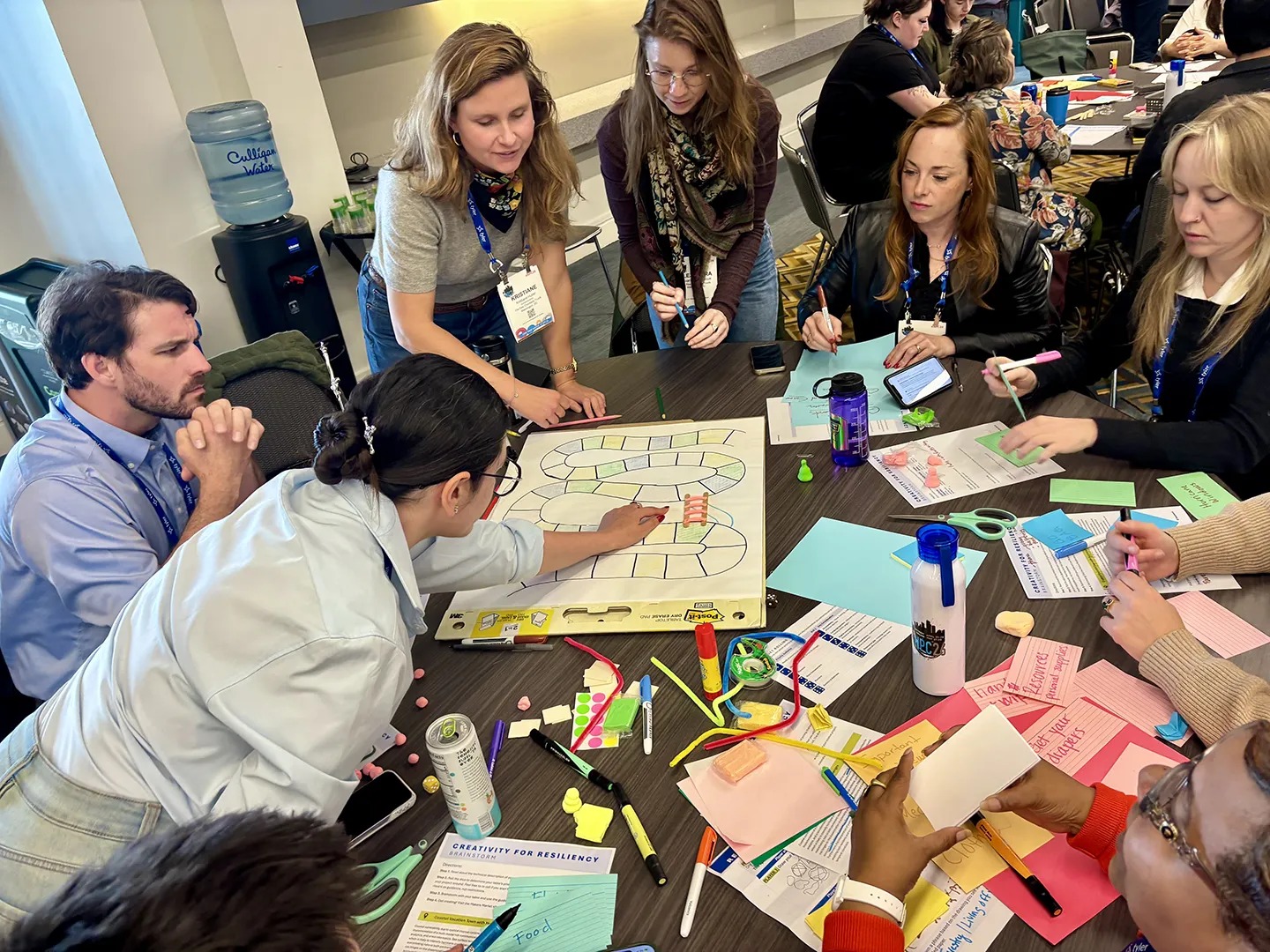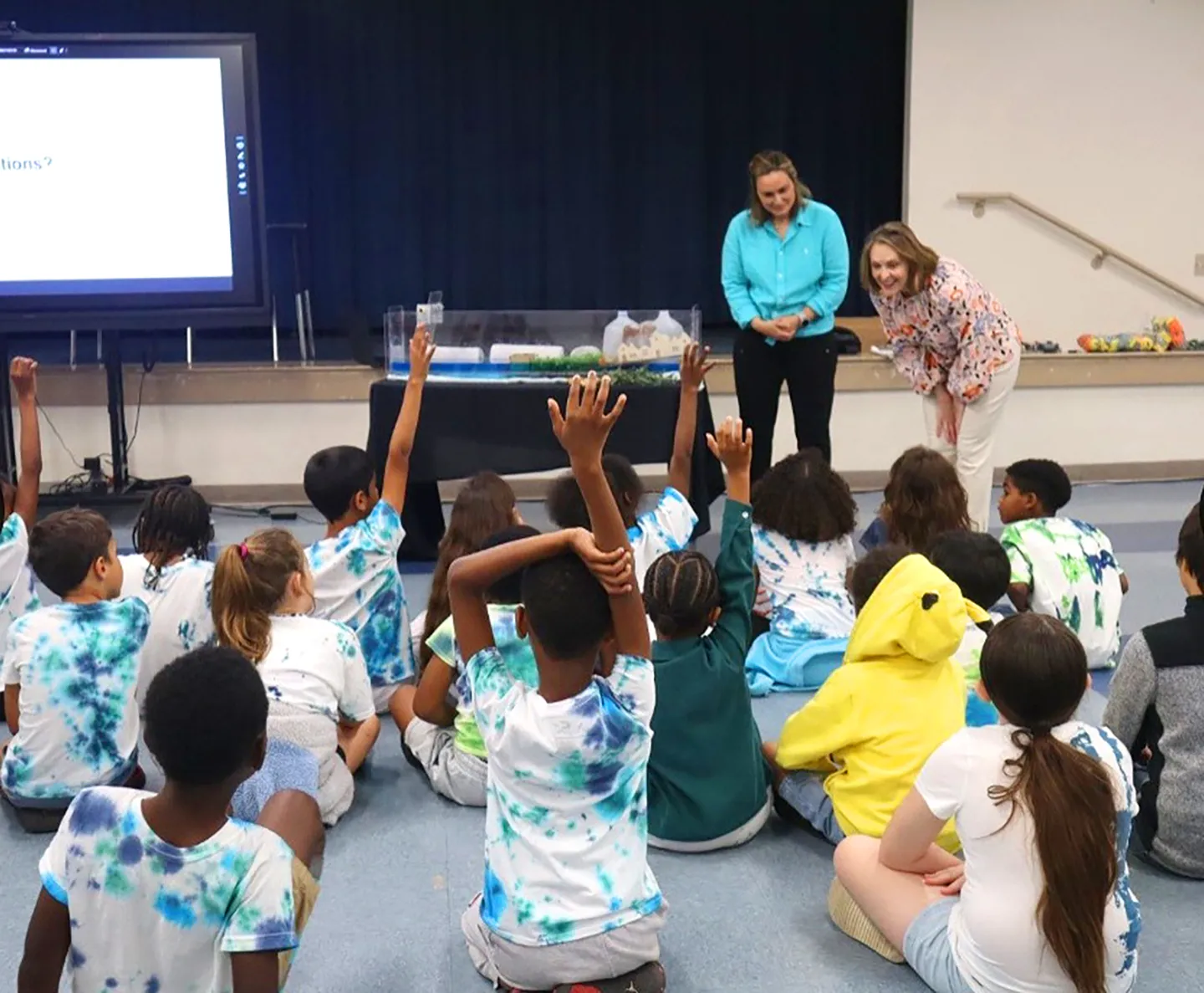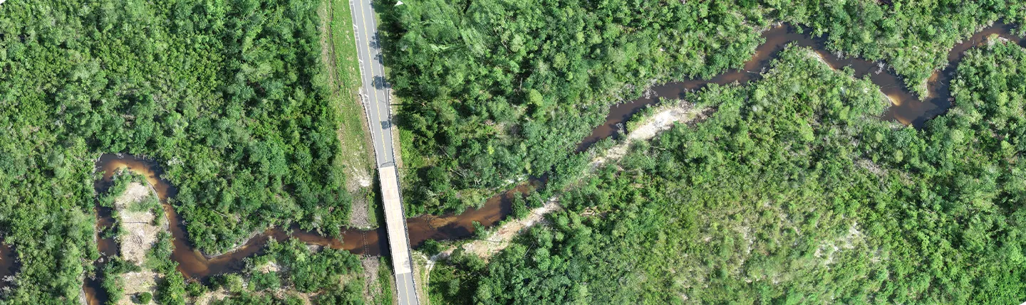
In April, we hosted a three-day workshop presented by scientists from the National Aeronautics and Space Administration (NASA) Applied Remote Sensing Training (ARSET) program. This event taught participants how to access and analyze NASA data relevant to flood management, ranging from precipitation and soil moisture to inundation mapping and elevation modeling. The attendees learned how to access and apply satellite data for assessing flood risk, monitoring conditions, and planning relief. Following each day of presentations, hands-on activities were held to effectively teach how to use the information and tools that had been covered.
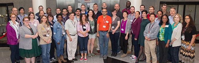
This event was a great opportunity to invite our clients and partners from all sectors to learn about NASA tools and products, which may be used to enhance current and future capabilities. Throughout the workshop, attendees were instructed on how to use cutting-edge tools to analyze remotely sensed data products that are available, yet underutilized, for water resources operations and management. It was also a chance for attendees from local, state, and federal government agencies to discuss common goals, how they might use these tools at a project level, and to explore avenues for interagency collaboration. More than 50 attendees came from all over the nation—and one joining us from India—to meet with ARSET personnel, network, and gain an understanding of how to incorporate remote sensing and modeled data in flood management activities. This workshop also created an opportunity for us to share our role in the many projects related to FEMA’s flood emergency operations. Associate Vice President Catherine Bohn, a featured presenter on the first day of the workshop, discussed a case study on emergency response efforts in Louisiana.
Three Days Focused on Remote Sensing Observations
To kick off the workshop, Executive Vice President Mike Walsh introduced Dr. John Murray, associate program manager of NASA’s Earth Science Disasters Program. After the opening remarks from Dr. Murray, the day consisted of presentations on remote sensing of precipitation, global precipitation measurement (GPM) sensors, data products, data access, and an overview of the shuttle topography radar mission (SRTM) and data access. Following the presentations were exercises on accessing GPM precipitation and SRTM data and analysis in QGIS, as well as a session on python script for reading HDF data files.
On the second day, attendees were introduced to synthetic aperture radar (SAR) data for flood detection, and soil moisture active passive (SMAP)—an Earth satellite mission that measures and maps Earth’s soil moisture and freeze/thaw state to better monitor and predict natural hazards like floods and droughts. Access and analysis on SMAP and SAR data followed the presentations.
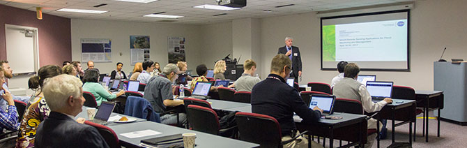
The final day consisted of a detailed overview of various flood management and monitoring tools, followed by a group case study session on the topic. Dr. David Green, program manager of NASA’s Earth Science Disasters Program, provided an overview of the program’s objectives. He also gave a lecture on NASA’s efforts during times of flood emergencies and other disasters, highlighting its collaboration with other federal agencies and international bodies. The workshop agenda, software instructions, and data links are available on our Github page.
Well Prepared for the Future
This is the first of what will likely be an annual training event, where we provide a forum and workshop environment with instructors to bring together clients to identify new opportunities, technologies, and strategies to improve the work we do and the services we offer. Striving to identify emerging tools, new and better datasets, and coupling these resources to pioneer innovative technologies is key to providing the best resilience and water resources planning and engineering services available. We look forward to continuing these efforts with our partners and clients in the years to come.
About the Authors
Mathini Sreetharan