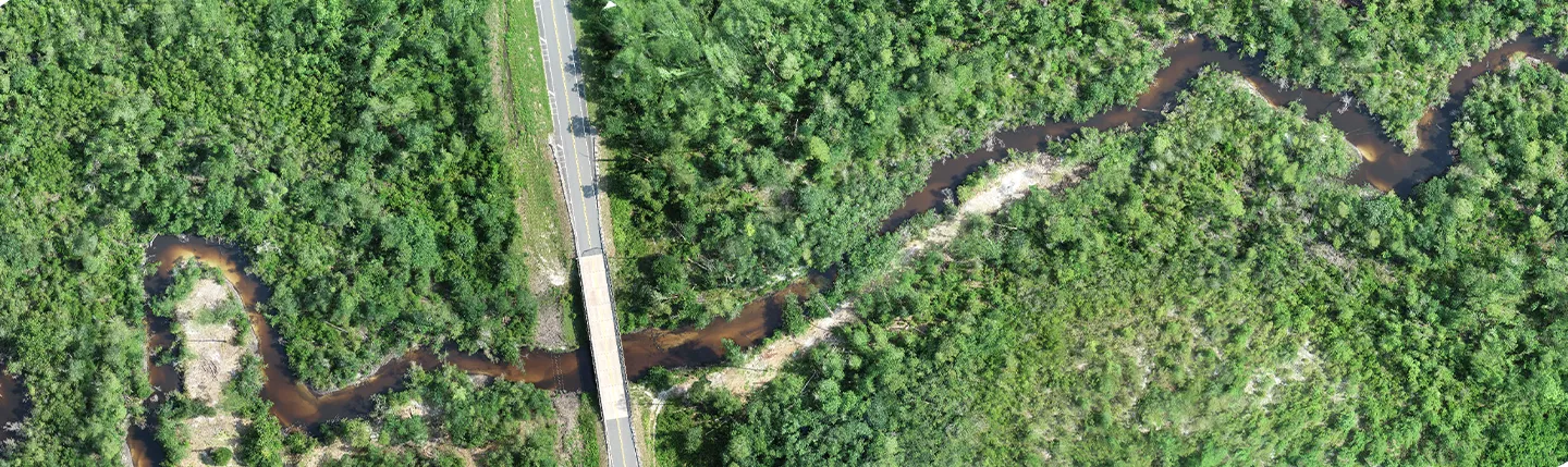
Where flat terrain exhibits unconfined floodplains, a dam breach or natural flood wave can potentially travel in all directions since water is not confined to a narrow valley. By applying 2-D hydrologic and hydraulic models, mathematical calculations are used to route flows in eight potential directions.
Once a model is complete, the results can be transferred to a GIS application and used to accurately map floodplains and dam or levee inundation zones using high-resolution digital terrain models developed from available LiDAR data. This information may be used for more detailed planning, such as Emergency Action Plans for dams and levees and detailed risk assessments, as well as mitigation and emergency evacuation planning.
Here are some tips to follow when developing 2-D models:
- Determine the computational or modeling area. The right size will be just large enough to cover the 100 or 500-year floodplain. An area that’s too large will increase unnecessary computation time. To find the right size modeling area, first develop a Flo-2D model with coarser grid size.
- Example:
- If the proposed grid size is 25 feet, the coarser grid size would be 400 feet. The coarser grid size Flo-2D model should be run with correct flows. The rough floodplain boundary from the coarser grid size Flo-2D model can be used to define the computational area or modeling area for the proposed grid size modeling.
- Example:
- Use pre-process topography data instead of direct Flo-2D elevation interpolation function.
- Here’s the process:
- LiDAR multiple points » DEM (raster) » Points (DTM) » Flo-2D elevation interpolation function. DEM size is recommended at least five times smaller than the proposed Flo-2D grid size.
- Here’s the process:
- Out-flow points should be defined adequately and correctly to avoid backwater effects.
- If channel geometry is included, smoothing out the channel slop to eliminate instability is recommended.
- The variable of surface detention (TOL) in Control Tolerance Settings (TOLER.DAT) is the minimum flow depth for which hydraulic routing computations are performed. The value of TOL becomes a portion of initial abstraction, including the volume lost to surface depression storage, interception, and evaporation. The initial abstraction in INFIL.DAT file should be modified based on TOL Value to avoid double counting the initial loss.
- Floodway function in FLO-2D is not recommended to use for floodway calculation. Trial and error or verify existing floodway is acceptable.
- Directly comparing HEC-1 results with FLO-2D results is not suggested. For comparison purposes, modifications of Flo-2D models are needed.