Dulles Corridor Metrorail
Bringing Transit to a Metropolis
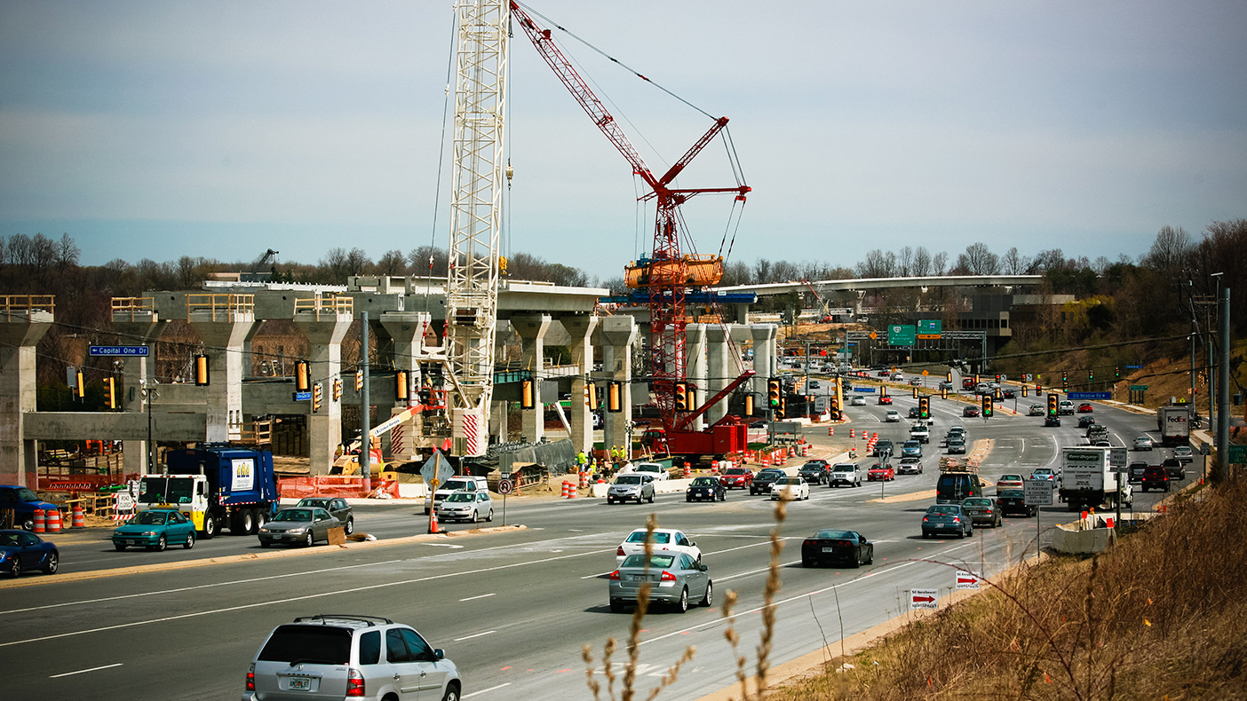
To address an anticipated influx of pedestrian traffic, our engineers developed a suite of signal timing plans for intersections across a busy thoroughfare.
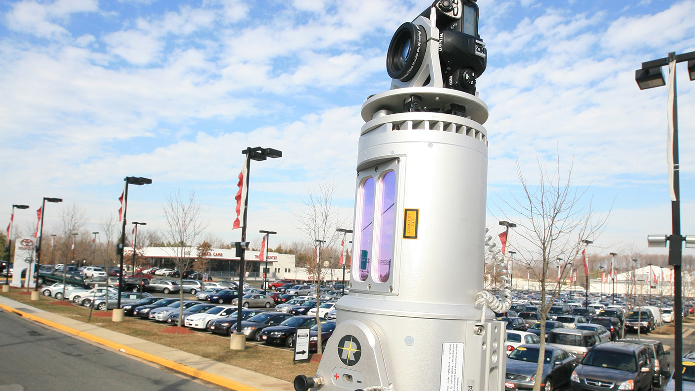
Our surveyors used a Riegl 390 Laser Scanner with a high resolution digital camera mounted on top to scan 6,600 feet of roadway along busy Virginia Route 7.
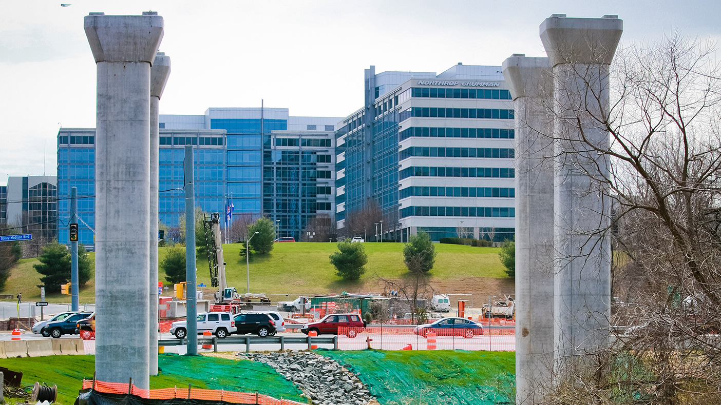
Our local expertise and familiarity with regulations has been invaluable in coordinating utilities, permitting and environmental requirements, and the preparation of Special Exception Plats.
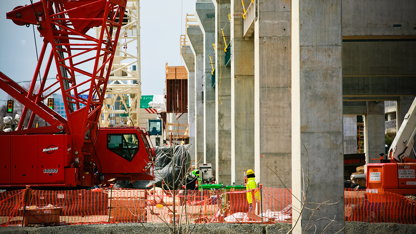
We digitally surveyed existing conditions of multiple sites along the future Metrorail corridor, delivering to Dulles Transit Partners a comprehensive risk management tool.
- Client
- Dulles Transit Partners, LLC
- Owner
- Washington Metropolitan Area Transit Authority
- Location
- Vienna, VA
- Services
- Geospatial, Mapping, and Survey, Engineering
- Markets
- Transportation
- Mileage
- 23.1 miles
- Cost
- $4.9 billion
- Completed
- Ongoing
- Region
- Mid-Atlantic
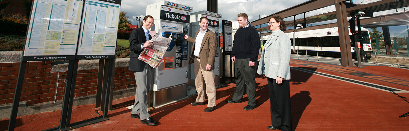
The Dulles Corridor Metrorail Project extends the existing Washington, D.C. Metrorail through the heavily populated Tyson’s Corner business district to Washington Dulles International Airport and beyond to Route 772 in Loudoun County, Virginia. The extension adds 23.1 miles of new rapid rail transit, 11 stations and a new service and inspection yard to the system. Since the start of preliminary design in late 2005, we have provided on-call engineering and surveying services for a variety of task orders.
We have surveyed multiple sites along the future Metrorail corridor, including 5,500 feet of existing rail near the West Falls Church Metro station, 23 underground relocation jack and bore sites along Virginia Route 123, and two structures and a bridge abutment along the planned right-of-way. Using 3D laser scanning, we delivered digital models prior to design with as a comprehensive risk management tool.
23
miles of additional rapid rail transit
11
rail stations added
6,600
feet scanned