North Carolina Department of Transportation Location and Survey Services
Surveying North Carolina to Determine Strategic Designs for Highway Projects
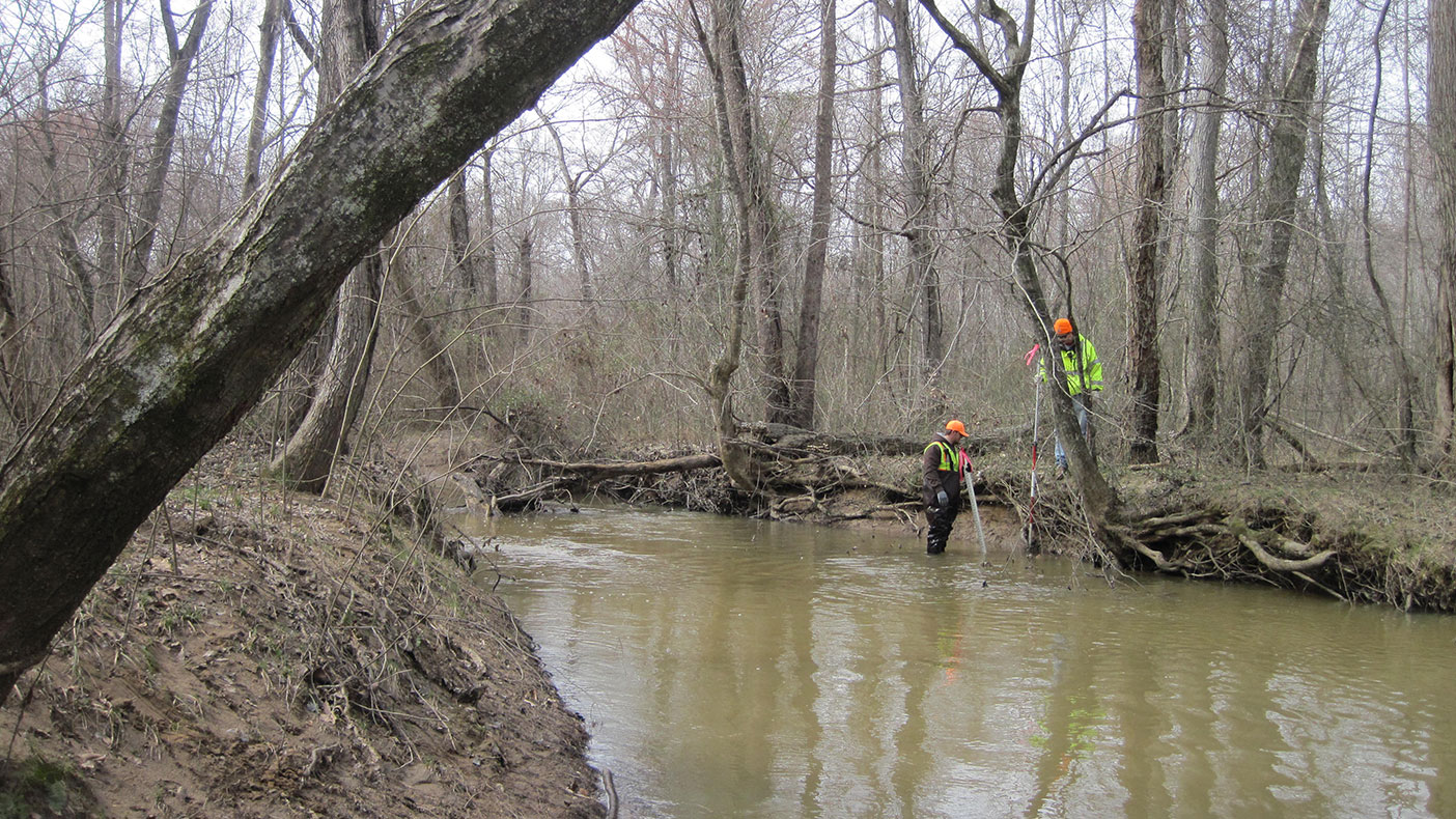
Our NCDOT contract includes obtaining survey data and base plan sheet preparations necessary for the design and maintenance of highway projects.
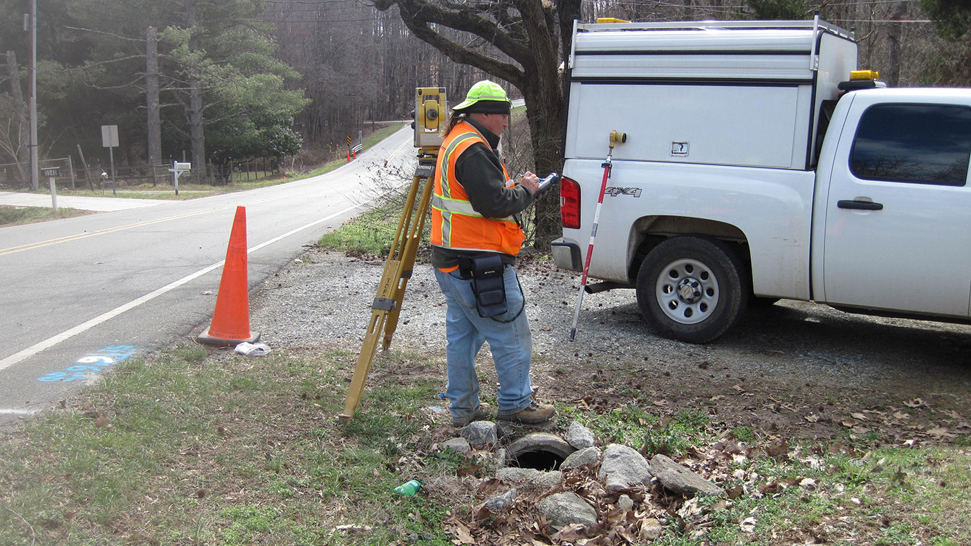
In addition to performing courthouse research and manning traffic control signage, surveyors also compute property and roadway lines.
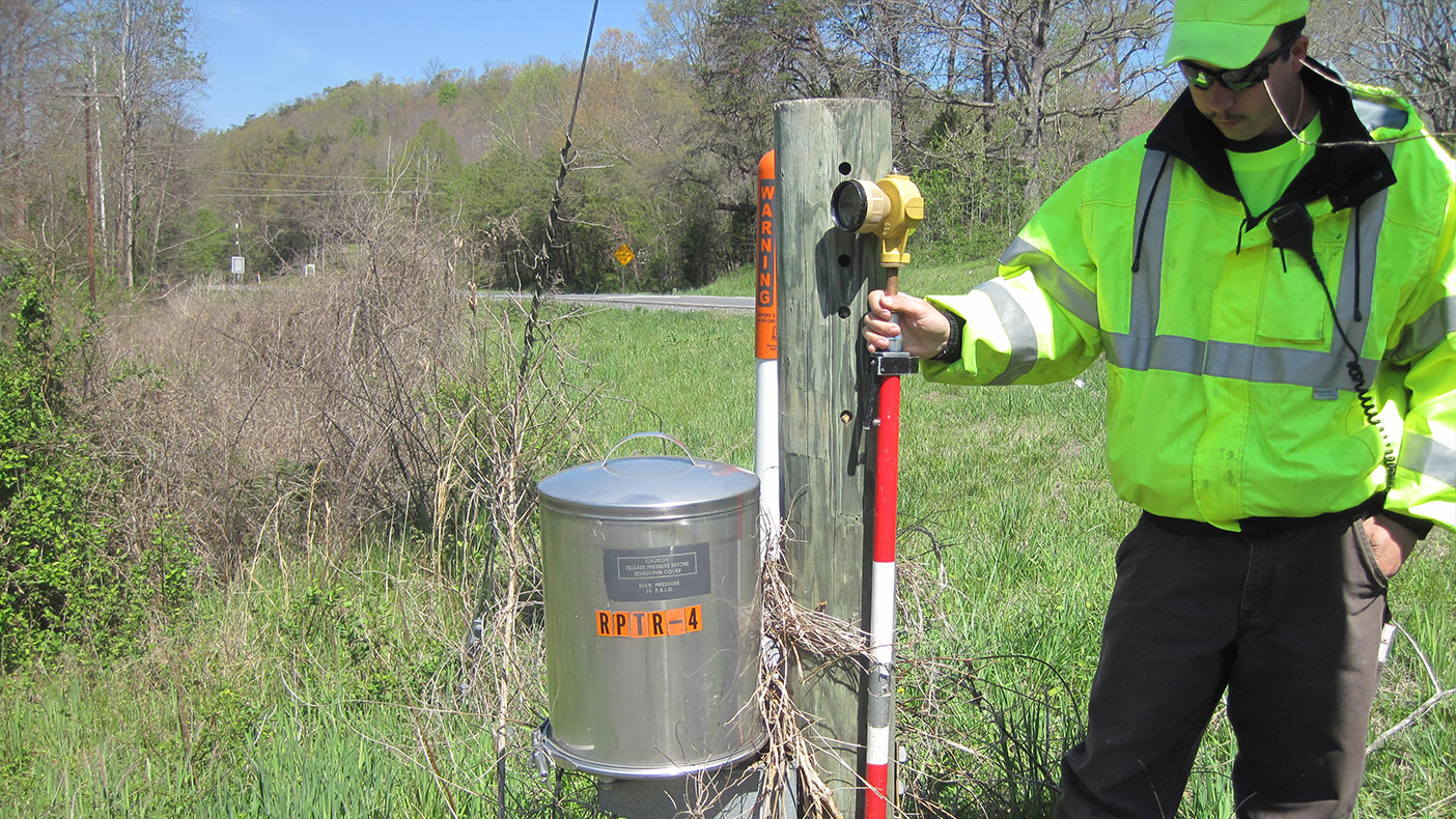
Many surveys have informed NCDOT roadway and and highway designs.
- Owner
- NCDOT
- Location
- NC
- Services
- Geospatial, Mapping, and Survey, Engineering
- Markets
- Transportation
- Cost
- $3+ million
- Completed
- Ongoing
- Region
- Southeast
The North Carolina Department of Transportation (NCDOT) has utilized our surveying services for more than three years, including route location, bridge, at-grade railroad crossing closure, intersection, and global positioning systems (GPS) surveys. Our services have included courthouse research, property owner contact letters, best-fit alignment computations, topographic and planimetric features, and gravity utilities. We have completed more than 65 tasks for NCDOT. While covering all three regions–western, central, and eastern–we have worked across nine of NCDOT’s 14 divisions, to deliver the successful completion of projects.
We were awarded the 2017-2018 location and surveys agreement contract, which enables us to continue our long-standing history with NCDOT. This includes obtaining survey data and base plan sheet preparations necessary for the design and maintenance of highway projects. These tasks cover multiple surveying disciplines, including conventional route surveys, GPS and global navigation satellite systems (GNSS), subsurface utility engineering surveys, high density laser scanning surveys, and hydrographic surveys.
7.95/10
average evaluation score
65+
completed tasks
9 of 14
divisions covered