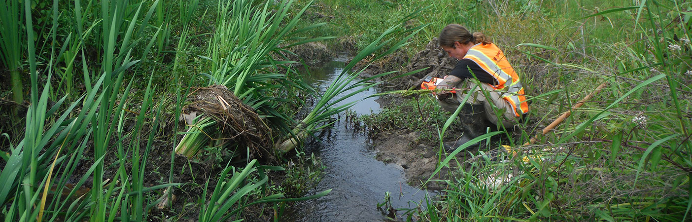
U.S. Fish and Wildlife’s National Wetlands Inventory
Mapping the Nation's Wetlands
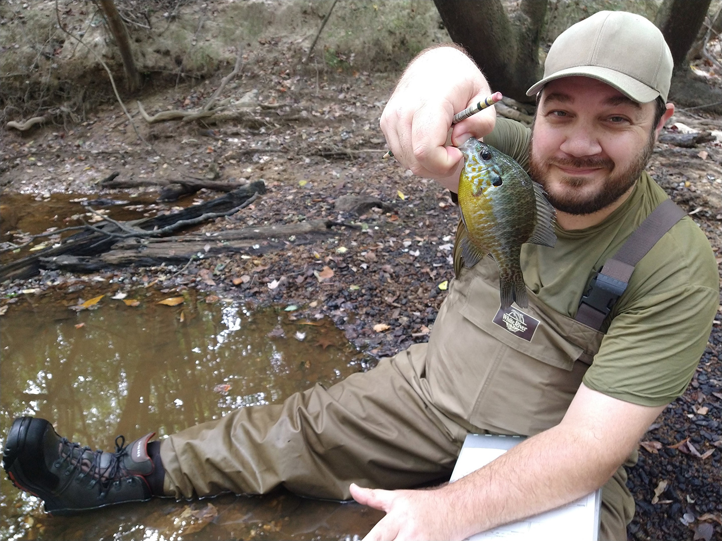
While in the field, we identified plant species, hydric soils, and hydrologic indicators to determine wetland boundaries and correct NWI classification.
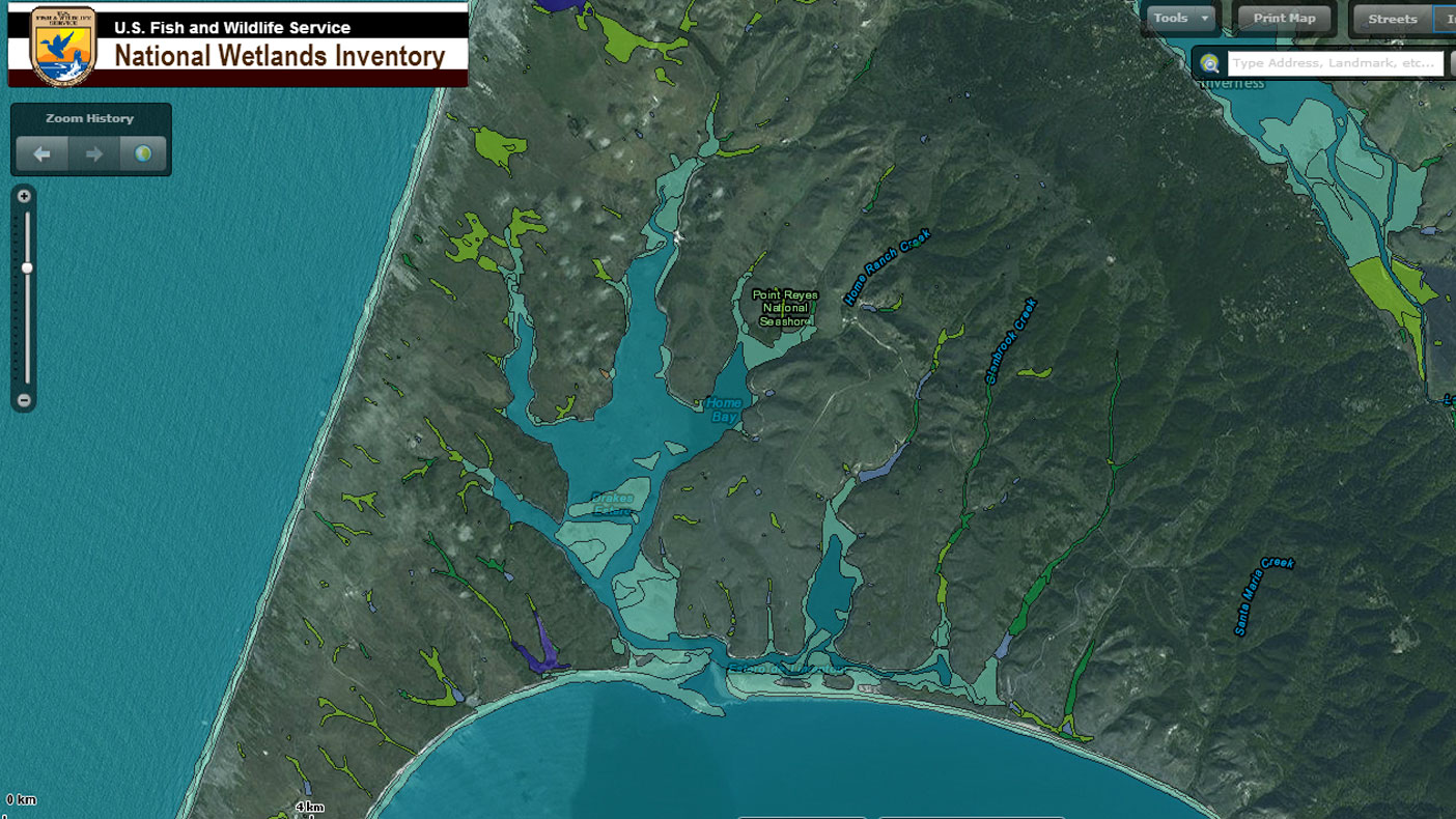
The completed digital wetland maps are distributed to the public online so they can be informed about characteristics of their location.
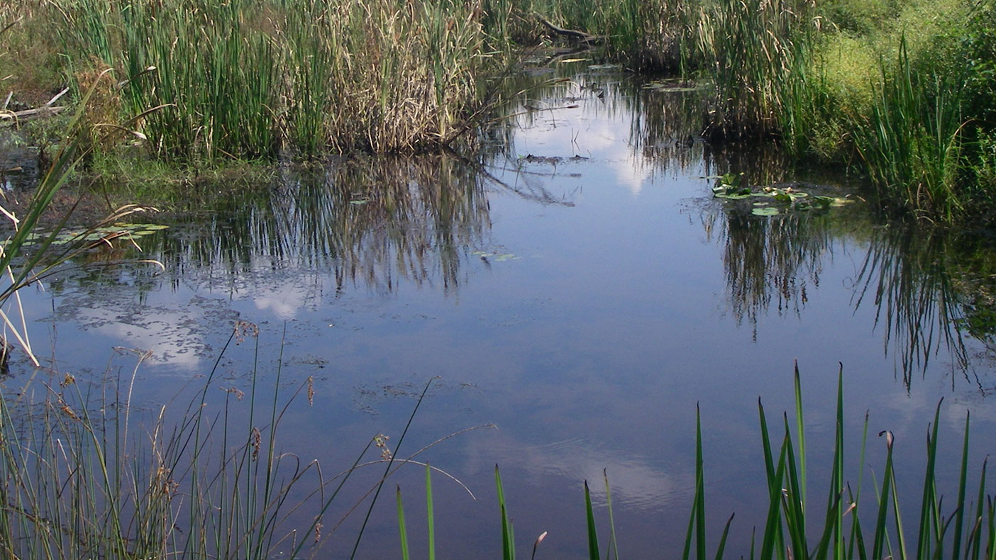
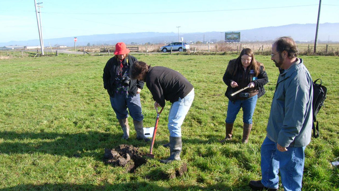
Since wetlands vary widely because of regional and local differences in soils, topography, and climate, we conducted field work with the client to ensure mapping accuracy.
- Owner/Client
- U.S. Fish and Wildlife Service
- Location
- Sacramento, CA
- Services
- Geospatial, Mapping, and Survey, Environmental
- Markets
- Water, Community Facilities, Federal
- Completed
- 2013
- Region
- West
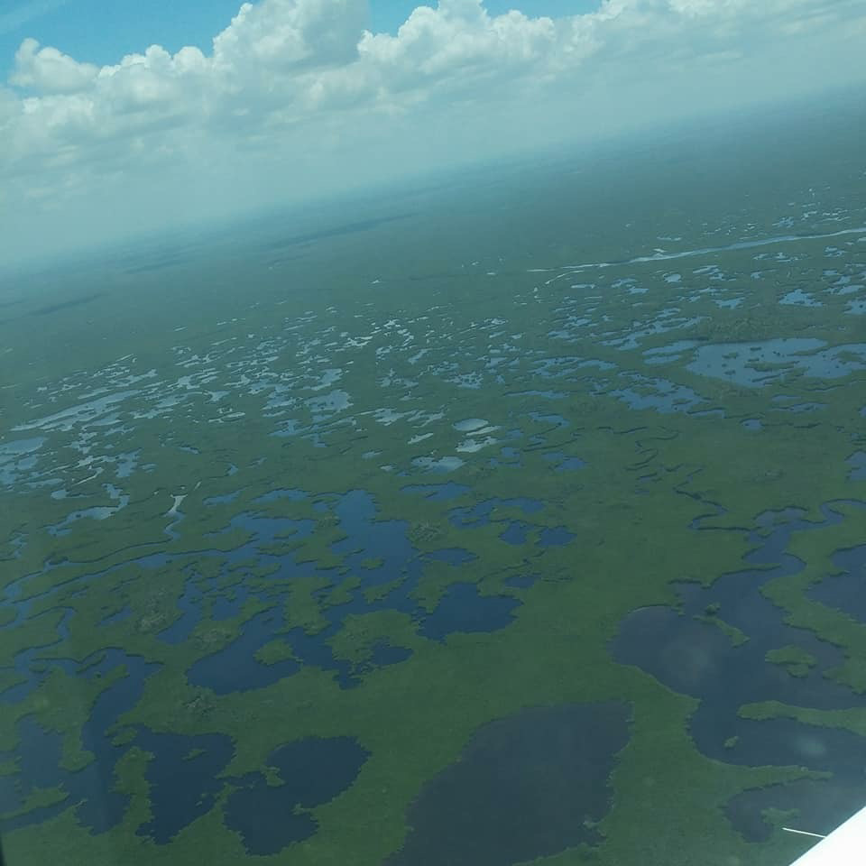
The National Wetlands Inventory (NWI) was established by the U.S. Fish and Wildlife Service (USFWS) to conduct nationwide mapping of wetlands to provide biologists, land planners, conservationists, and others with information on their distribution and type. In support of the NWI, we are providing up-to-date wetland maps using a combination of fieldwork, photo interpretation, and GIS processing. We are conducting field work for each project area to document wetland vegetation, soils, and hydrology. Additionally, we have provided aerial imagery for multiple National Wildlife Refuges in support of wetland mapping and refuge management.
Related Projects

- Location
- Nationwide

- Location
- Virginia Beach, VA
- Location
- St. Louis, MO
- Market
- Federal
- Location
- New York, NY
- Location
- Houston, TX