NOAA Coastal Geospatial Services Contract
Providing Expertise to Meet National Coastal Resource Management Needs

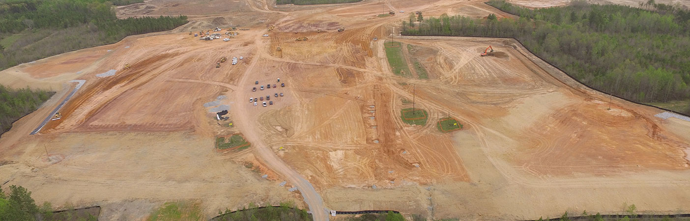
We were contracted by the National Oceanic and Atmospheric Administration (NOAA) Office of Coastal Management to perform high-resolution land cover mapping of Rhode Island in support of NOAA’s Coastal Change Analysis Program (C-CAP).
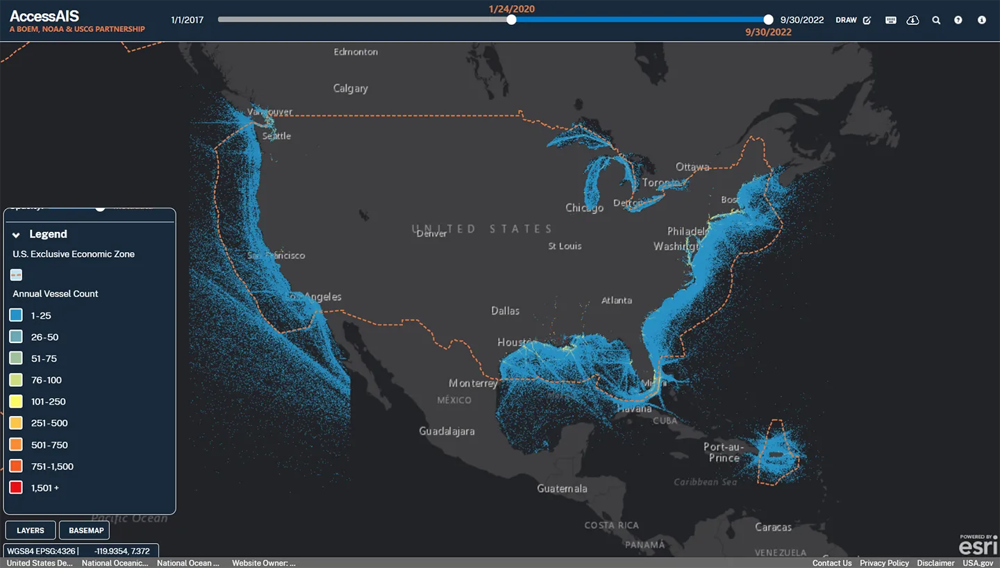
For the Marine Cadastre project, we helped NOAA develop new nationwide datasets for wastewater outfalls, wave climatology, artificial reefs, pipelines, and oil and gas wells and platforms.
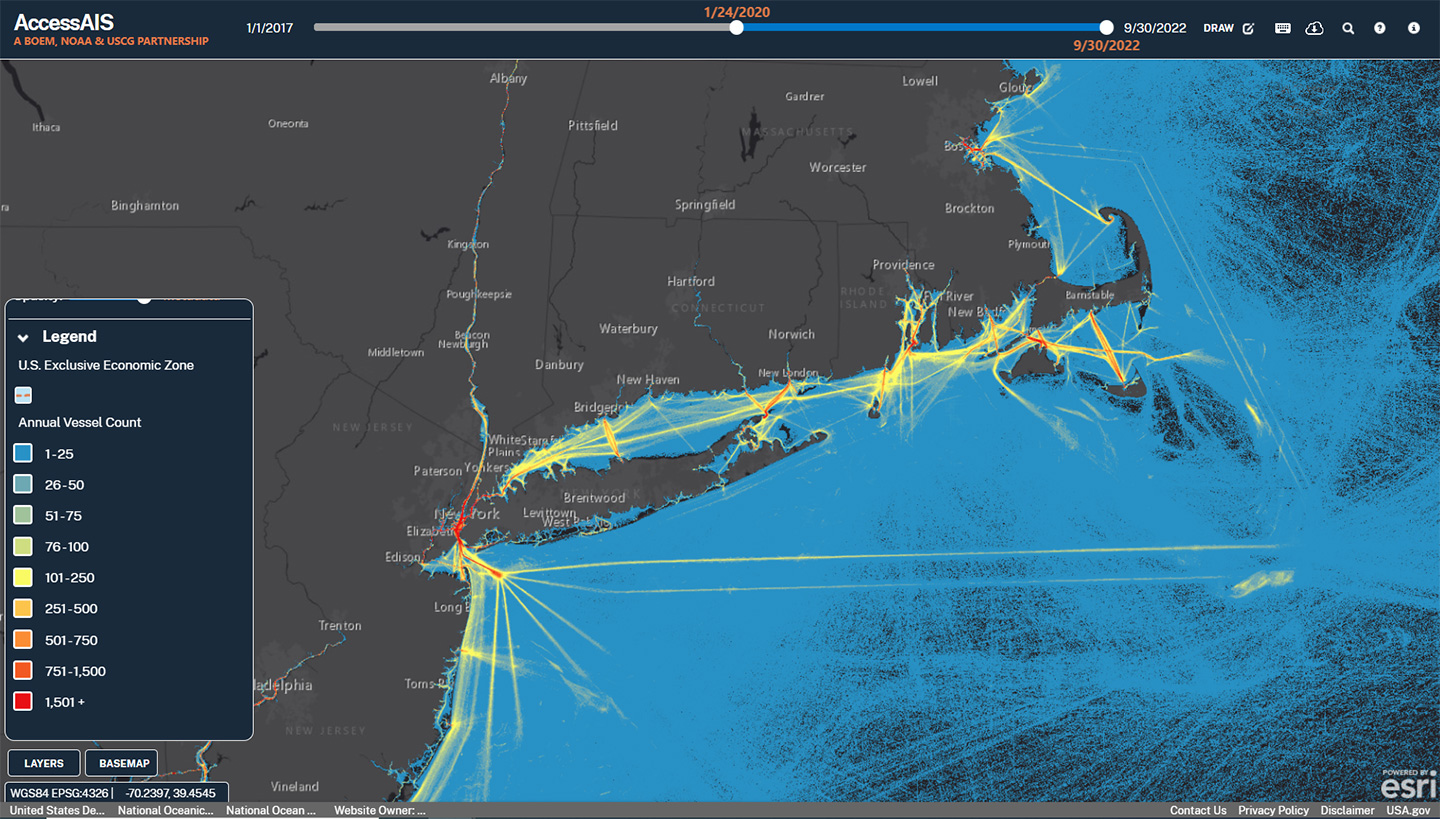
New York and surrounding areas' vessel traffic datasets, ranging from 0-200 nautical miles offshore, represented on the U.S. Coast Guard’s Automatic Identification System (AIS) within the MarineCadastre.Gov online resource.
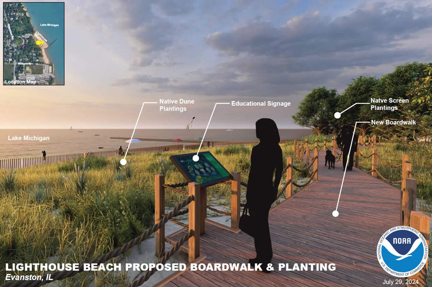
As part of the Great Lakes Restoration Initiative project, we developed plans and renderings for a proposed boardwalk and plantings on Lighthouse Beach.
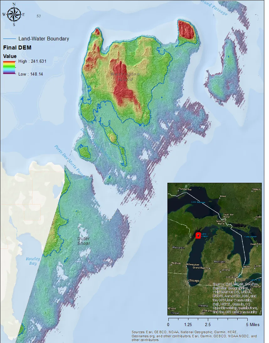
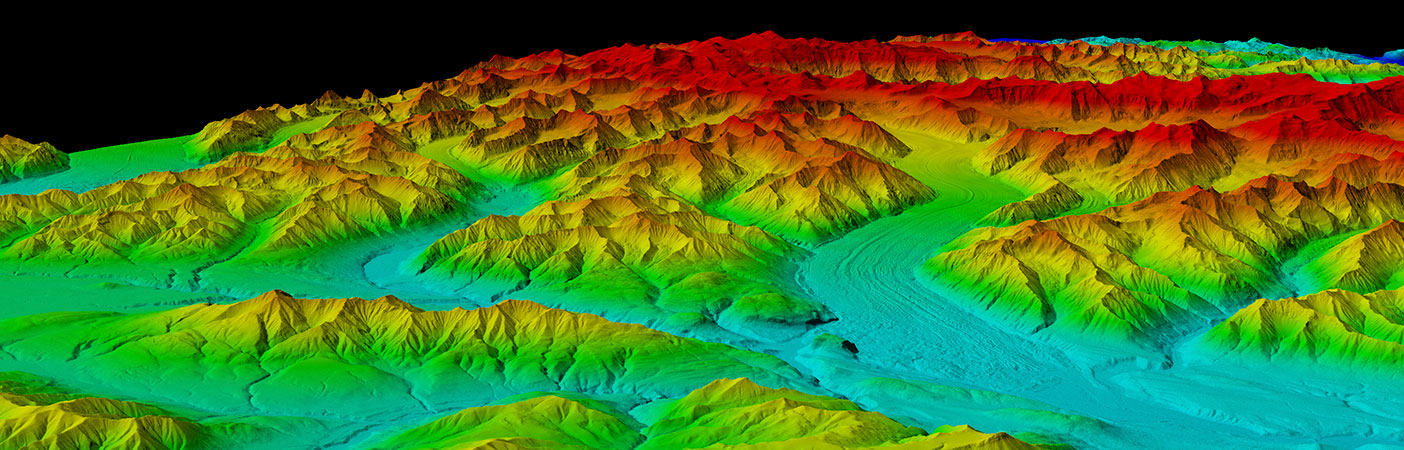
A digital elevation model (DEM) of the Entry to Green Bay Topobathy Lidar project.
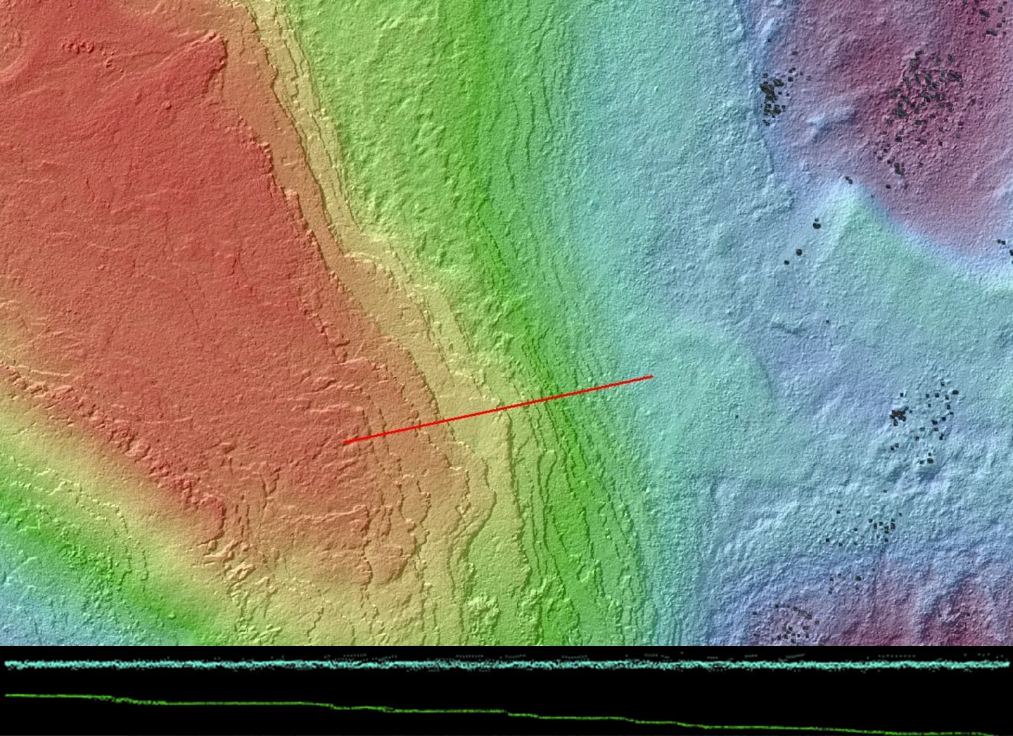
A digital elevation model of the Entry to Green Bay Topobathy Lidar project with a cross section showing the water surface (blue) and lakebed (green) point cloud returns.
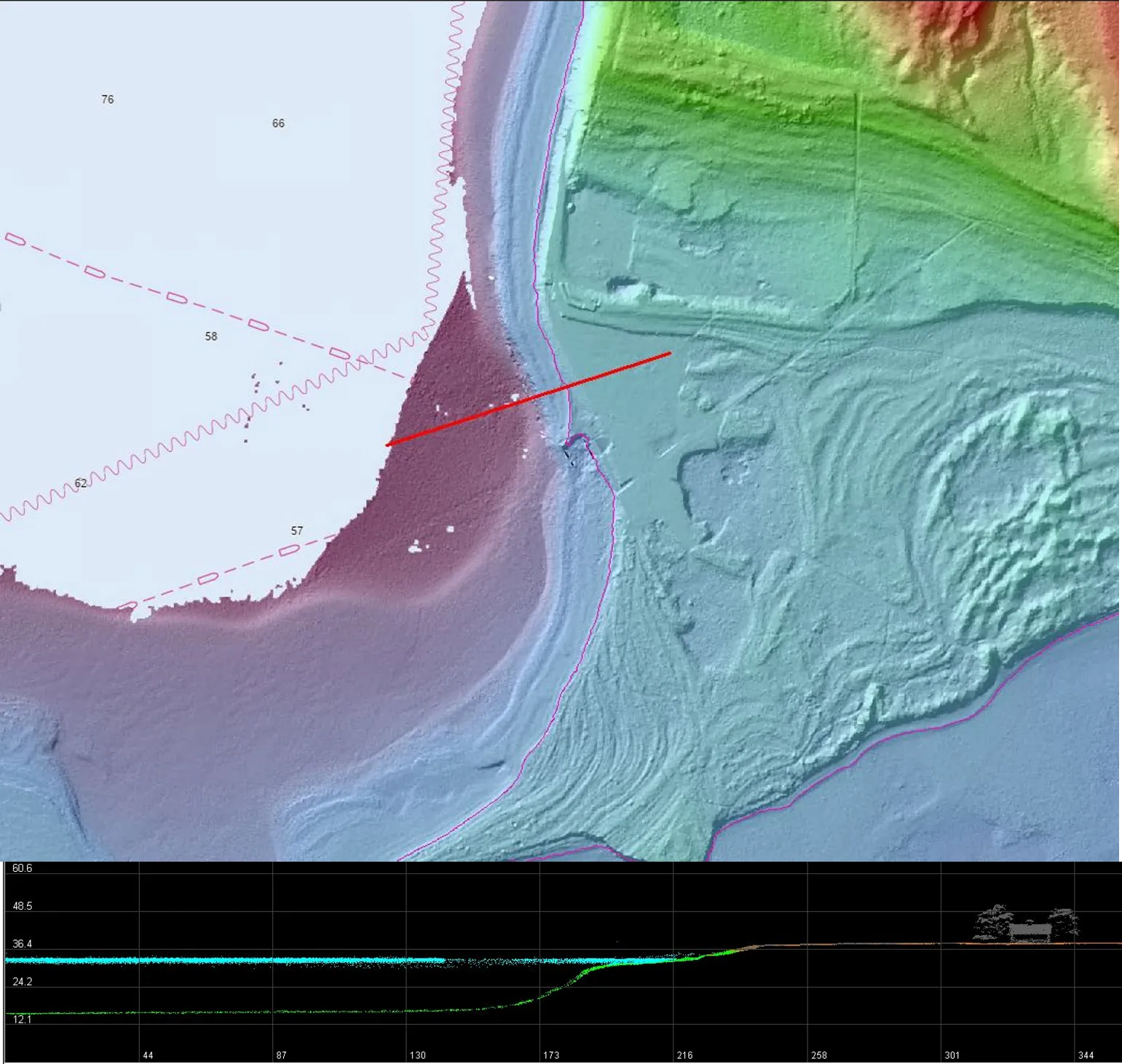
A digital elevation model of the Entry to Green Bay Topobathy Lidar project with a cross section showing the seamless topo-bathy extent from the land on the east moving westward into the lake.
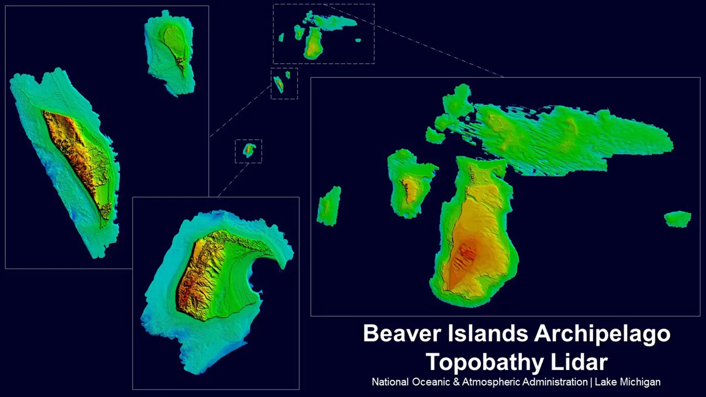
A Digital elevation model (DEM) of the Beaver Islands Archipelago and South Manitou Island in Upper Lake Michigan, including topobathymetric lidar to 7-meter depth contour.
- Owner
- National Oceanic & Atmospheric Administration (NOAA)
- Location
- Nationwide
- Cost
- Shared-ceiling $49-million contract
- Completed
- Ongoing
- Region
- Nationwide
Since 2005, our firm has served as a prime contractor on the National Oceanic and Atmospheric Administration (NOAA) Office for Coastal Management (OCM) Coastal Geospatial Services Contract (CGSC). Our partnership with NOAA is focused on coastal resource management—keeping coastal residents and means of navigation safe, and natural resources protected. The services our firm provides are critical to help communities address the impacts of coastal development, sea level rise, natural disasters, and other coastal and oceanic resource management needs.
Under this contract, we provide NOAA with quick response and technical expertise in lidar and imagery data acquisition, high-resolution topographic/bathymetric product generation, thematic mapping, survey and control services, and training to support state, local, and regional coastal resource management needs. Spanning from coast to coast, our work includes projects such as digital elevation models for national sea level rise modeling; high resolution mapping for the state of Alaska; elevation products covering the California-Oregon border; seagrass mapping efforts in California and New York; topobathymetric mapping the Northern Green Bay area; and processing and publishing vessel traffic data within the waters of the U.S. and territories, including Puerto Rico and the U.S. Virgin Islands.
Additionally, we have conducted projects to support the Great Lakes Restoration Initiative. These projects focus on working with local communities around the Great Lakes to facilitate project selection sites by assisting in the identification of areas experiencing acute coastal erosion and flooding impacts on habitat and species of concern from high lake levels, climate change and related stressors, and engineering and design. This work includes designing and engineering resilient coastlines to restore and protect these areas.
Our work on this contract also involves managing and improving geospatial web and software-based planning tools. One tool is the Enhanced Marine Cadastre Viewer, in which our firm partnered with NOAA, the Bureau of Ocean Emergency Management (BOEM), and the U.S. Coast Guard to process and publish vessel traffic data. This cloud-based platform provides web access to ocean-related data in support of ocean planning efforts. We worked with Esri to help integrate elevation and hydrography tools in the ArcGIS Pro platform. Since then, we have received numerous awards from Esri for defining GIS best practices.
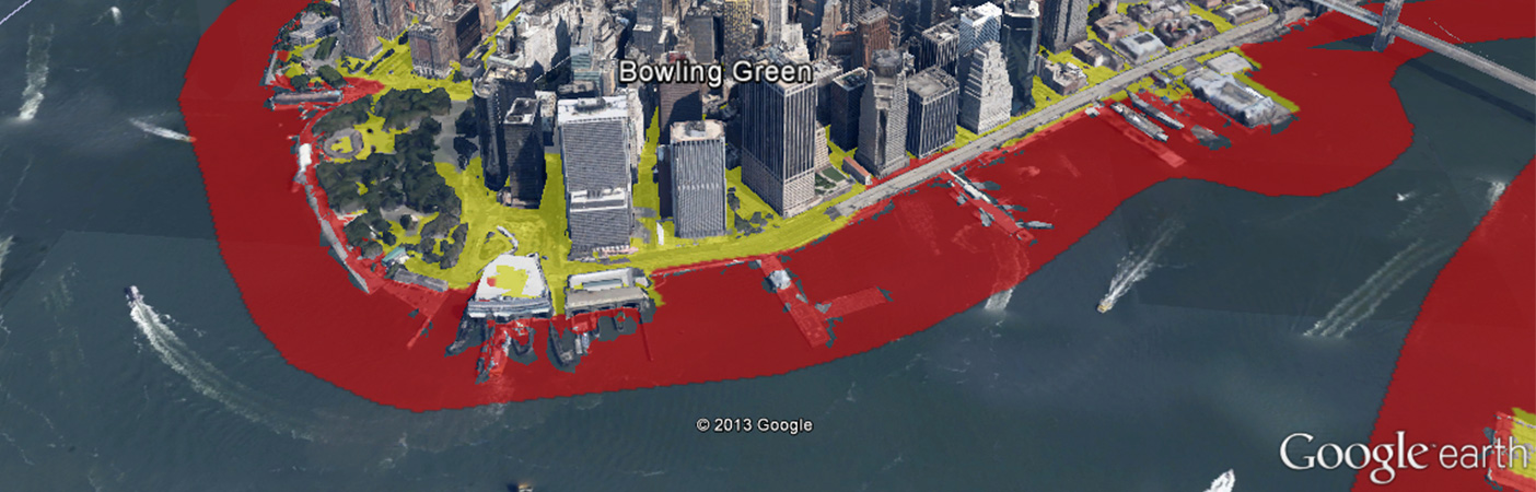
Other assignments include performing high-resolution land cover mapping in support of NOAA’s Coastal Change Analysis (C-CAP) Program. Elements of this contract also cover disaster readiness and response initiatives, where we have provided coastal storm assessments, erosion workshops, flood response tools, and storm surge modules.
19
years of geospatial data, training, tools, and technology support
4
consecutive Coastal Geospatial Services Contract awards
70+
task orders awarded
Awards
-
2021 Geospatial Excellence Award for GIS/IT/Remote Sensing Analysis
The Management Association of Private Photogrammetric Surveyors (MAPPS)
-
2023 Engineering Excellence Award, AccessAIS–National Cloud Provisioning System
American Council of Engineering Companies (ACEC)
Related Projects

- Location
- Currituck County, NC
- Location
- Denver, CO
- Location
- New York, NY
- Market
- Water
- Location
- Prince George's County, MD
- Location
- Brooklyn, NY