Florida Statewide Mapping
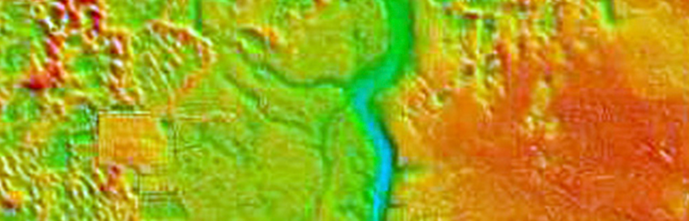
Using GIS and lidar technology to map Florida in preparation for future storm events.
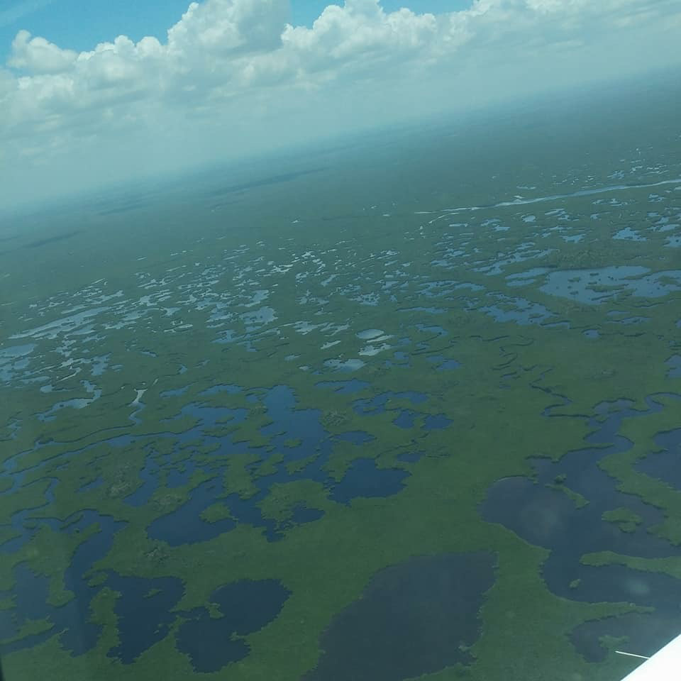
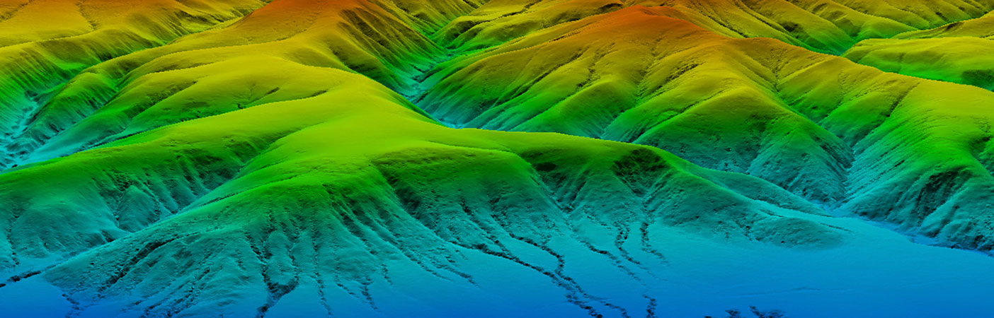
Under our Geospatial Products and Services Contract, USGS selected us to complete a statewide lidar mapping project for Florida.
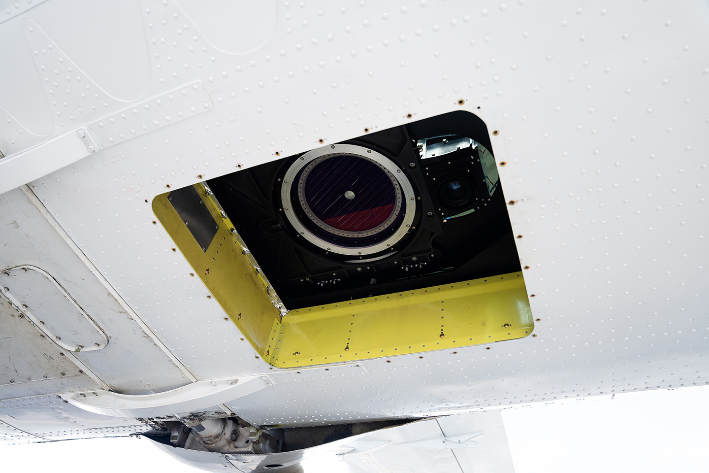
Airborne lidar data and derivative products produced in compliance with this task order are based on the National Geospatial Program Lidar Base Specification Version 1.3.

We managed seven subcontractors to acquire high-resolution QL1 lidar data for this project.
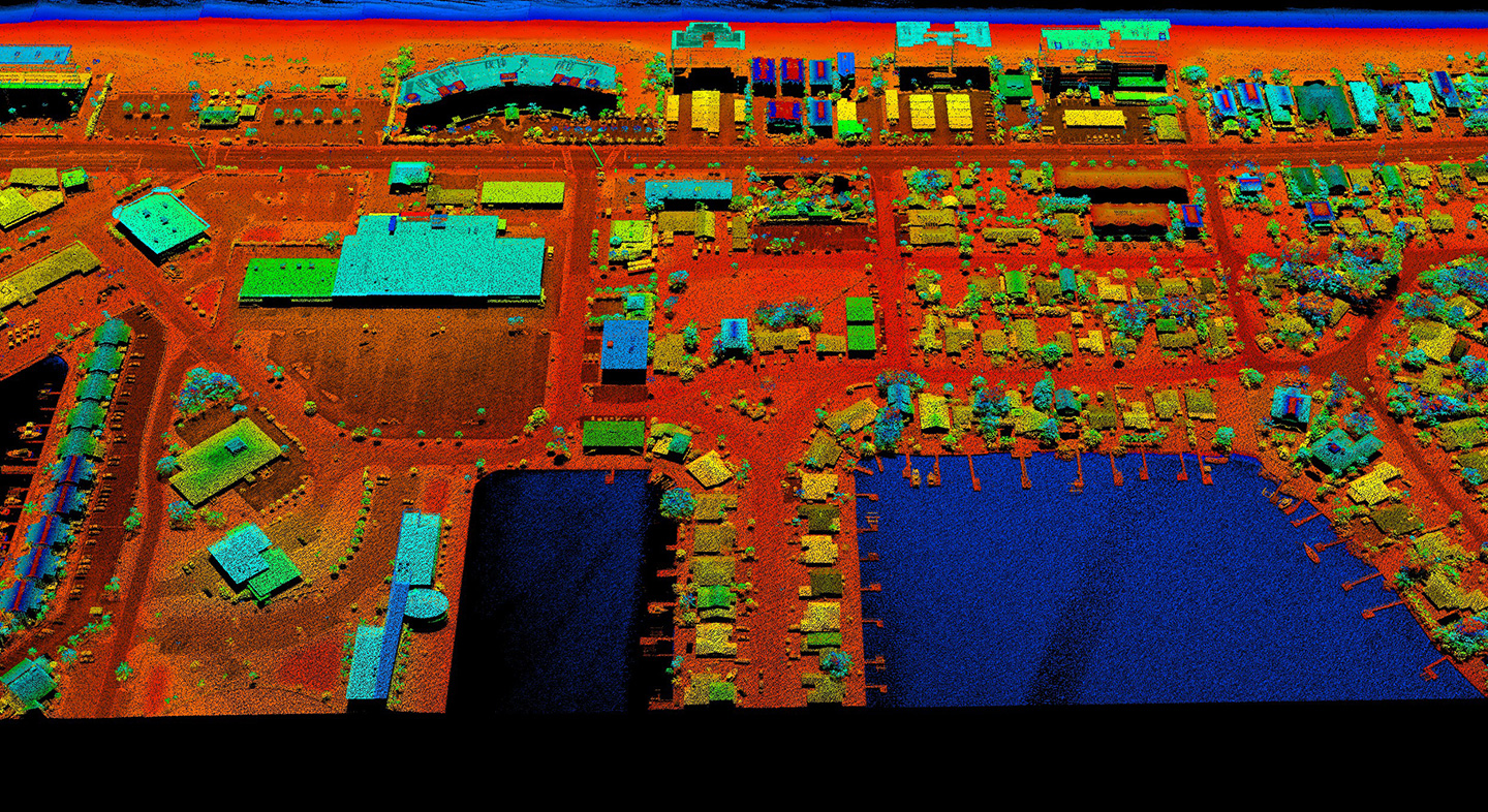
This roughly $20 million project included airborne lidar data acquisition, ground survey, and preparation of bare earth point cloud and DEM products for various applications to support the response, recovery, and preparation of future storm events.
- Client
- USGS
- Location
- FL
- Services
- Geospatial, Mapping, and Survey
- Cost
- ~$24 million
- Completed
- 2022
- Region
- Southeast
Following Hurricane Irma in 2017 and Hurricane Michael in 2018, the U.S. Geological Survey (USGS), in partnership with the Florida Division of Emergency Management (FDEM), set out to conduct disaster recovery, response, and preparedness measures by mapping the state of Florida with an accuracy never-before achieved. As part of our Geospatial Products and Services Contract with USGS, we were awarded this statewide mapping effort across three projects and will be completing final products for USGS in mid-2022.
This roughly $24 million effort includes airborne lidar data acquisition, ground survey, classification of bare earth, and ground features and enhanced hydrological breaklines, in addition to the preparation of digital elevation model (DEM) products for various applications to support the response, recovery, and preparation for future storm events. The resulting quality level 1 (QL1) data are primarily used for hydrologic and hydraulic modeling and many engineering applications by Florida’s water management districts to mitigate the impacts of flooding caused by storms. The water management districts in Florida, USGS, and FDEM will use these data for various flood studies in the future. The projects encompass an area of more than 34,000 square miles across Florida.
34,000
square miles of Florida mapped
Related Projects

- Location
- Nationwide
- Location
- St. Louis, MO
- Market
- Federal
- Location
- Nationwide
- Location
- San Joaquin County, CA
- Location
- Louisa, VA
- Location
- Channel Islands National Park, CA