Central Valley Floodplain Mapping
Mapping California's Central Valley Floodplain Region
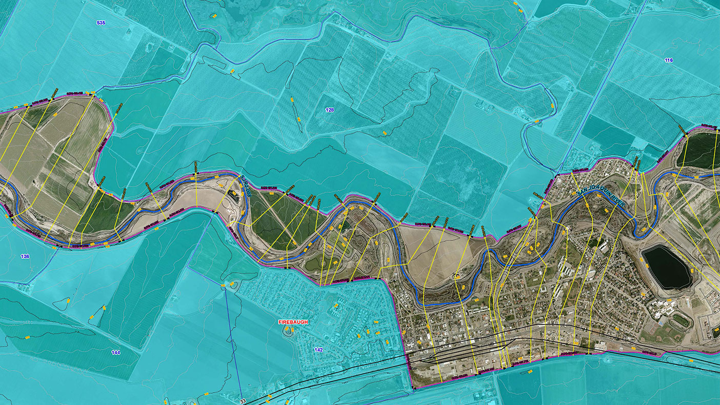
As part of the Central Valley floodplain evaluation and delineation project, we gathered and processed more than 2,500-square-miles of aerial topographic data in the form of LiDAR and ortho-photographs.
- Owner/Client
- California Department of Water Resources Authority
- Location
- San Joaquin County, CA; Merced County, CA; Fresno County, CA
- Cost
- $10 million
- Completed
- 2013
- Region
- West
Posing considerable flood risks to the surrounding areas during peak flows, two of the largest rivers run through the Central Valley region of California, which is densely populated and boasts rich agriculture. We were selected by the California Department of Water Resources, along with RBF Consulting, to collect photogrammetric data using LiDAR technology, as well as create one- and two-dimensional hydrological and hydraulic models. We worked to combine the two methods in order to create one seamless model for the entire study area and deliver multi-stage floodplain evaluations, delineations, and floodplain hazard maps that met state and the Federal Emergency Management Agency’s requirements.
2,500
square miles of topographic data processed
Related Projects

- Location
- Currituck County, NC

- Location
- Nationwide
- Location
- Brooklyn, NY
- Location
- Virginia Beach, VA
- Location
- St. Louis, MO
- Market
- Federal
- Location
- New York, NY
- Location
- Puerto Rico
- Location
- Houston, TX