Risk MAP
Reducing Flood Risk
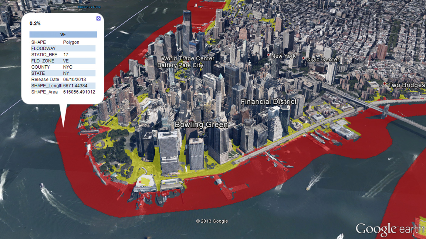
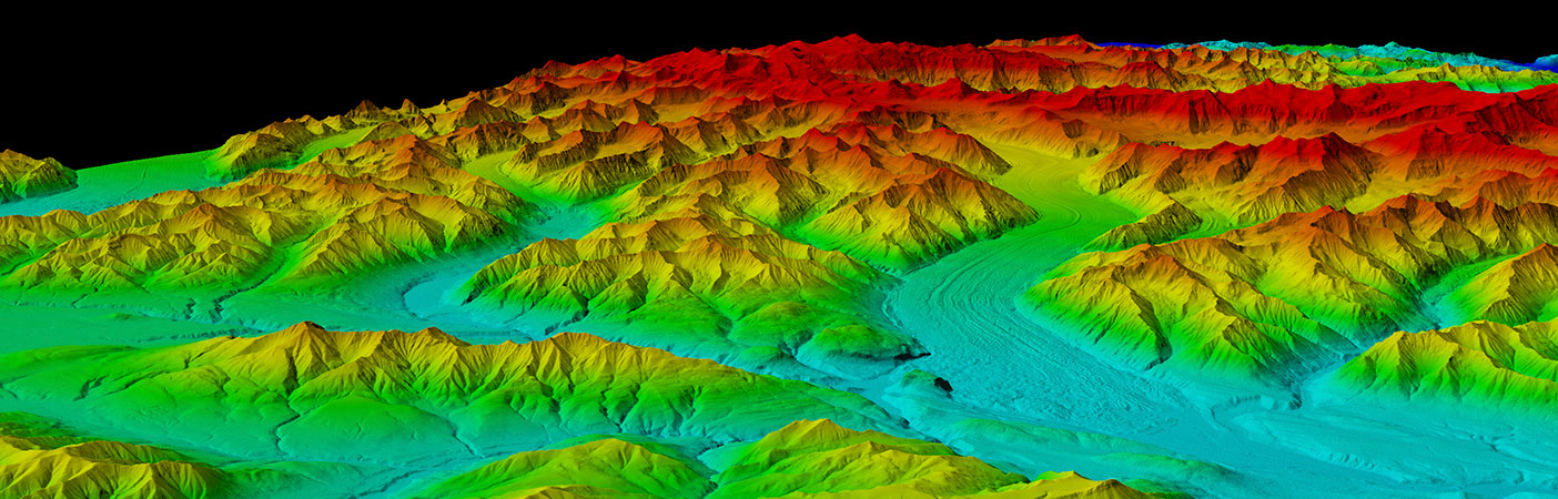
Our GeoTerrain tools within GeoRAMPP allowed us to analyze billions of elevation data points and develop mapping for 10 river forecast points in New York.
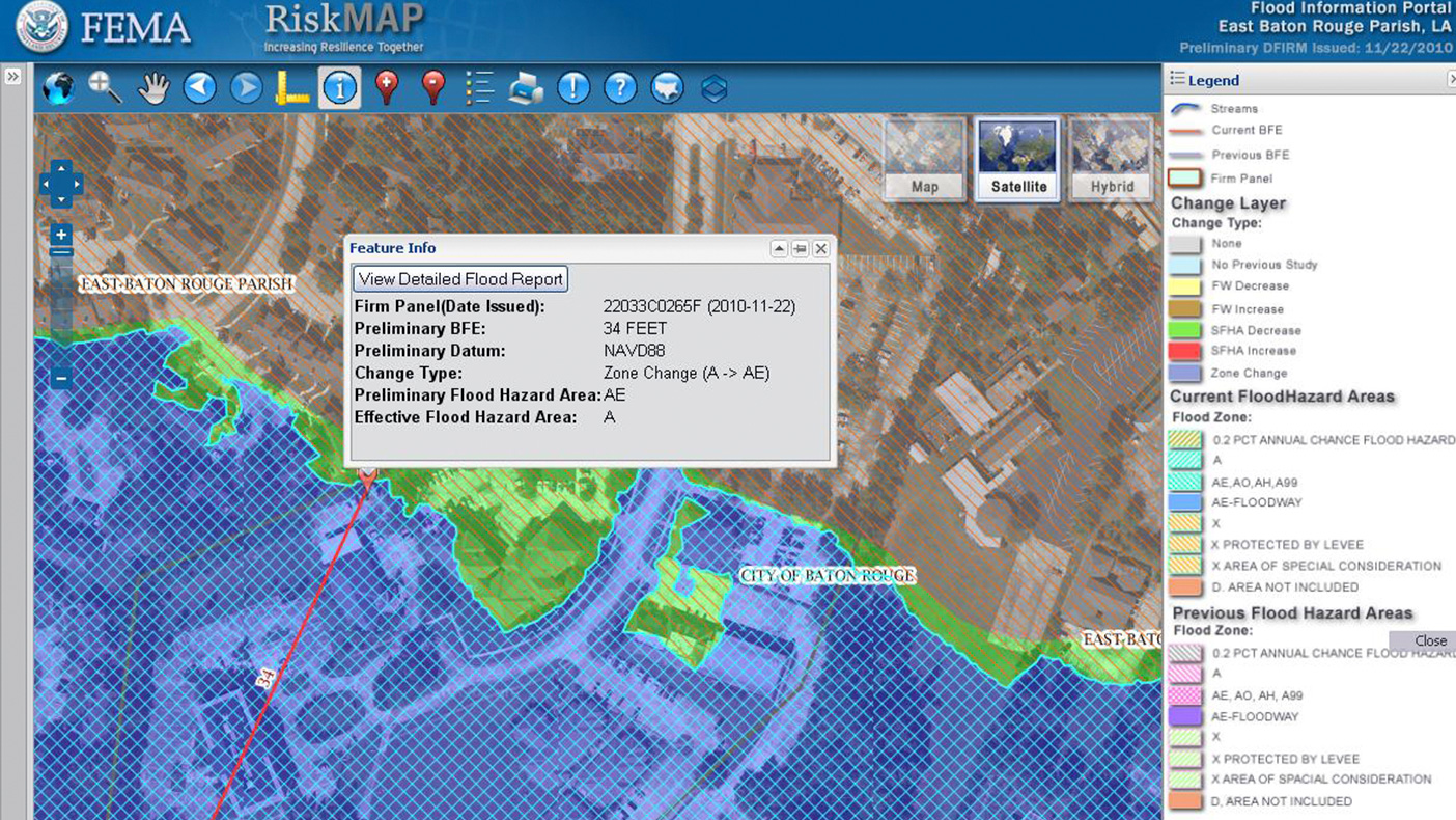
GeoRAMPP, our ESRI ArcGIS-based solution, allows us to efficiently deliver quality mapping products in support of FEMA’s Risk MAP initiative.
- Client
- FEMA
- Location
- FEMA Regions II, III, VI
- Completed
- Ongoing
- Regions
- Northeast, Southeast, Mid-Atlantic
Under FEMA’s Risk Mapping, Assessment, and Planning (MAP) Program, along with Joint Venture partners URS and ESP Associates, we were one of three Production and Technical Support (PTS) contractors who provided comprehensive floodplain mapping, risk assessment, GIS, hazard mitigation, risk communication and outreach, and program administration support for FEMA and the communities participating in the National Flood Insurance Program (NFIP). These services, provided under the five-year Risk Assessment, Mapping, and Planning Partners (RAMPP) joint venture, will help communities make more informed decisions when it comes to reducing flood risk.
Related Projects

- Location
- Currituck County, NC

- Location
- Nationwide

- Location
- Prince George's County, MD

- Location
- Brooklyn, NY