
Hazard Mitigation Technical Assistance Project (HMTAP) Susquehanna/Mohawk River Basin
Protecting Against Flood Hazards
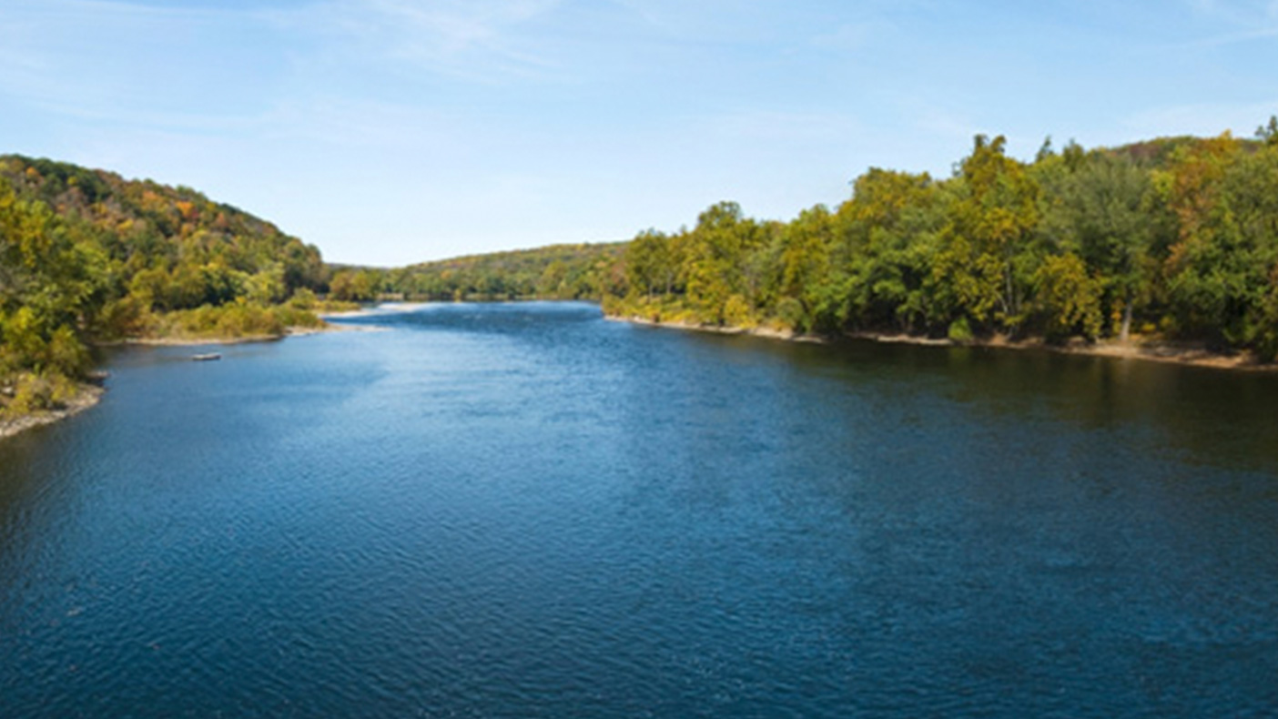
Our established relationship with the U.S. Geological Survey allowed for timely access of information for this high priority project.
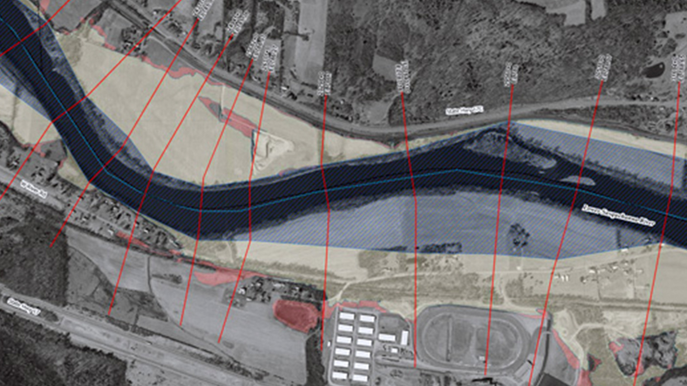
We developed hydrologic analyses, GIS-based HEC-RAS hydraulic models, and mapping for 20 miles of stream in the Susquehanna River watershed, including levees affected by the 2006 floods.
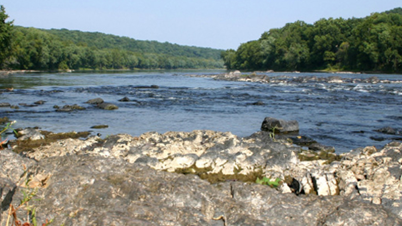
We coordinated USACE's effort to calculate consistent peak discharges within New York for the Delaware River main stem.
- Client
- FEMA
- Location
- NY; PA
- Completed
- 2010
- Region
- Northeast
In response to the June 2006 floods in New York, as a partner with URS, we performed over 200 miles of hydrologic and hydraulic analyses, 300 miles of mapping, and extensive data quality reviews in support of the restudy of flood hazards in New York’s Susquehanna, Mohawk, and Delaware River basins. This project is the largest flood study project procured by FEMA.
200
miles of hydrologic and hydraulic analyses
300
miles of of mapping
Related Projects

- Location
- Currituck County, NC

- Location
- Nationwide

- Location
- Brooklyn, NY


- Location
- St. Louis, MO
- Market
- Federal
- Location
- Puerto Rico
- Location
- Houston, TX
- Location
- Hudson County, NJ