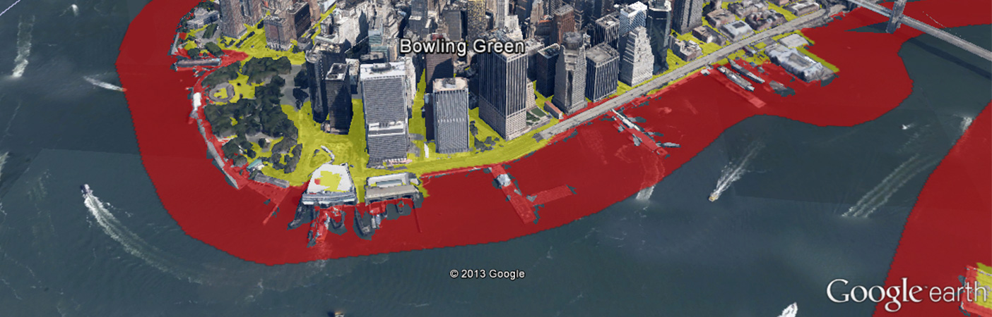
USGS National Enhanced Elevation Assessment
Lidar Benefits in Oil and Gas
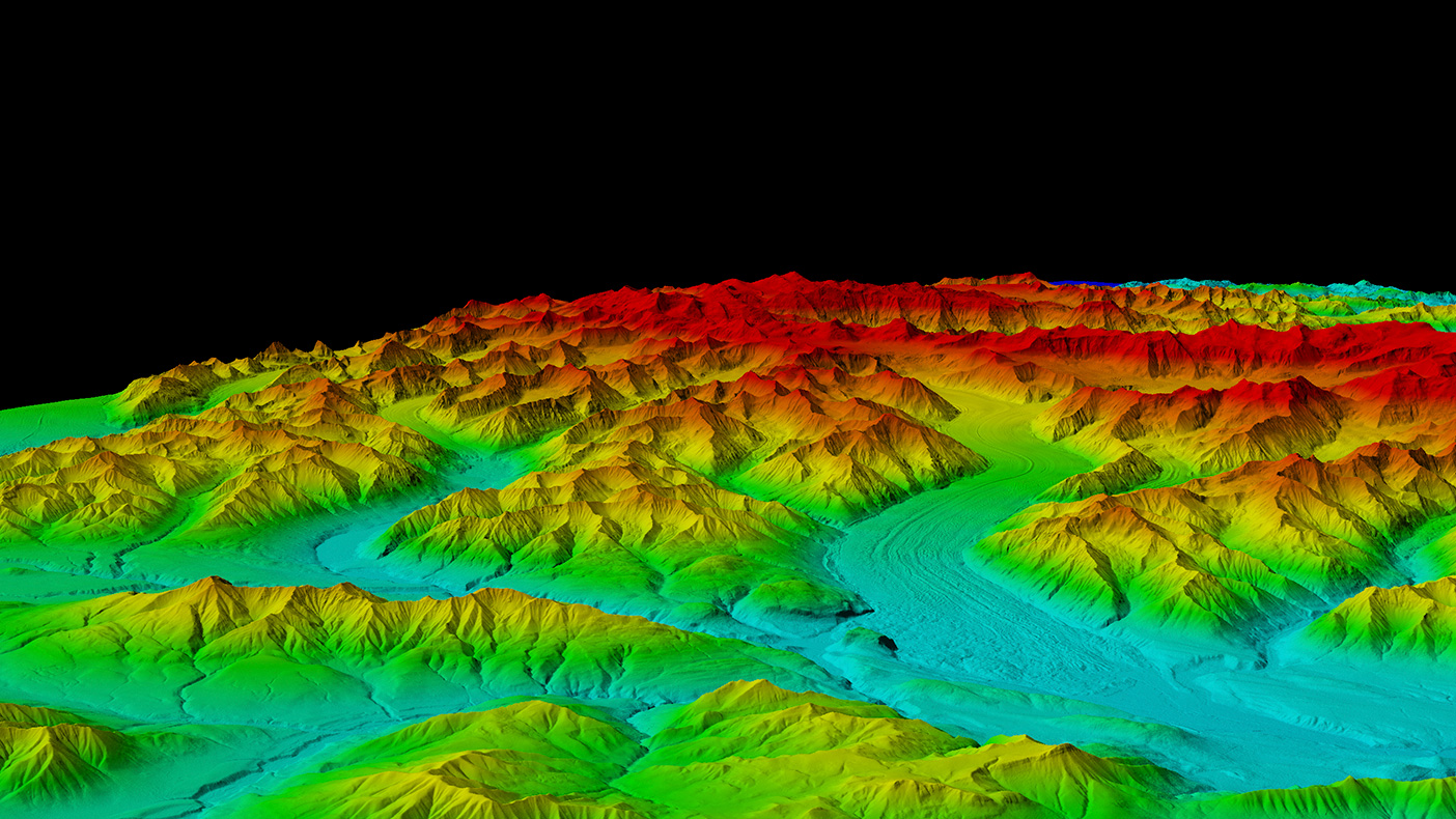
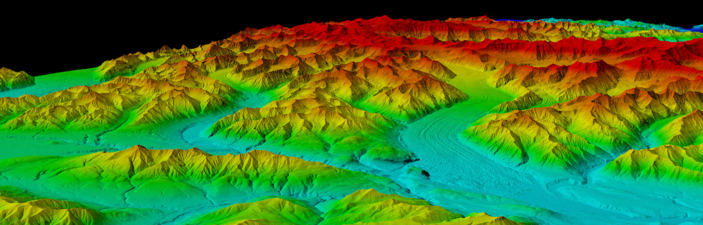
Lidar slope data is essential for pipeline routing across mountain ranges and beneath rivers, construction planning, encroachment control, and asset inventories.
- Owner/Client
- USGS
- Location
- Nationwide
- Completed
- 2012
- Region
- Nationwide
As part of the National Enhanced Elevation Assessment (NEEA) performed for the U.S. Geological Survey, we interviewed a confidential oil and gas company regarding their use of elevation data from lidar, which uses laser pulses to accurately map high-density elevation points. We found that lidar is used to pre-select suitable locations in the office, which is quicker, safer and more cost-effective than sending survey crews to the field.
Some uses of lidar data include:
- Seismic programs and exploration
- Location of well sites, facilities, and pipelines based on slope data
- Selection of well locations and pipeline routes
- Location and classification of buildings and other objects within special protection zones
- Identification of land cover and timber removal calculations to minimize tree cutting
- Fast checking of critical heights of ground coverage when combined with existing sub-surface data
400
program managers, technical specialists surveyed
130
follow-up interviews/workshops
Related Projects


- Location
- Currituck County, NC
- Location
- Denver, CO

- Location
- Nationwide

- Location
- New York, NY
- Market
- Water

- Location
- Prince George's County, MD

- Location
- Brooklyn, NY