
NOAA Sea Level Rise Viewer 2
Protecting Our Coasts
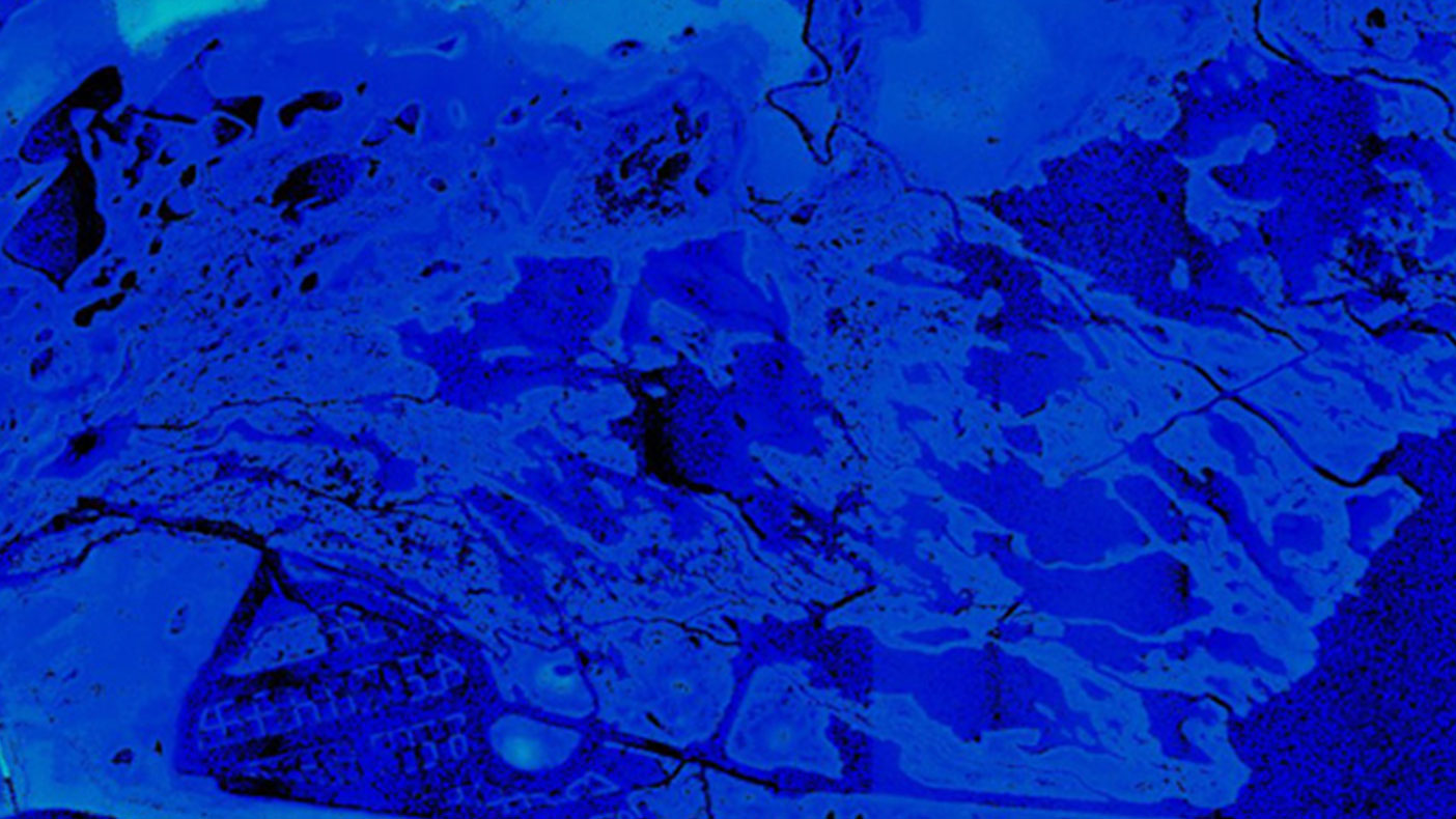
Given to NOAA by different agencies, the viewer’s source data was taken using different sensors and processing methods and had a wide variety of anomalies.
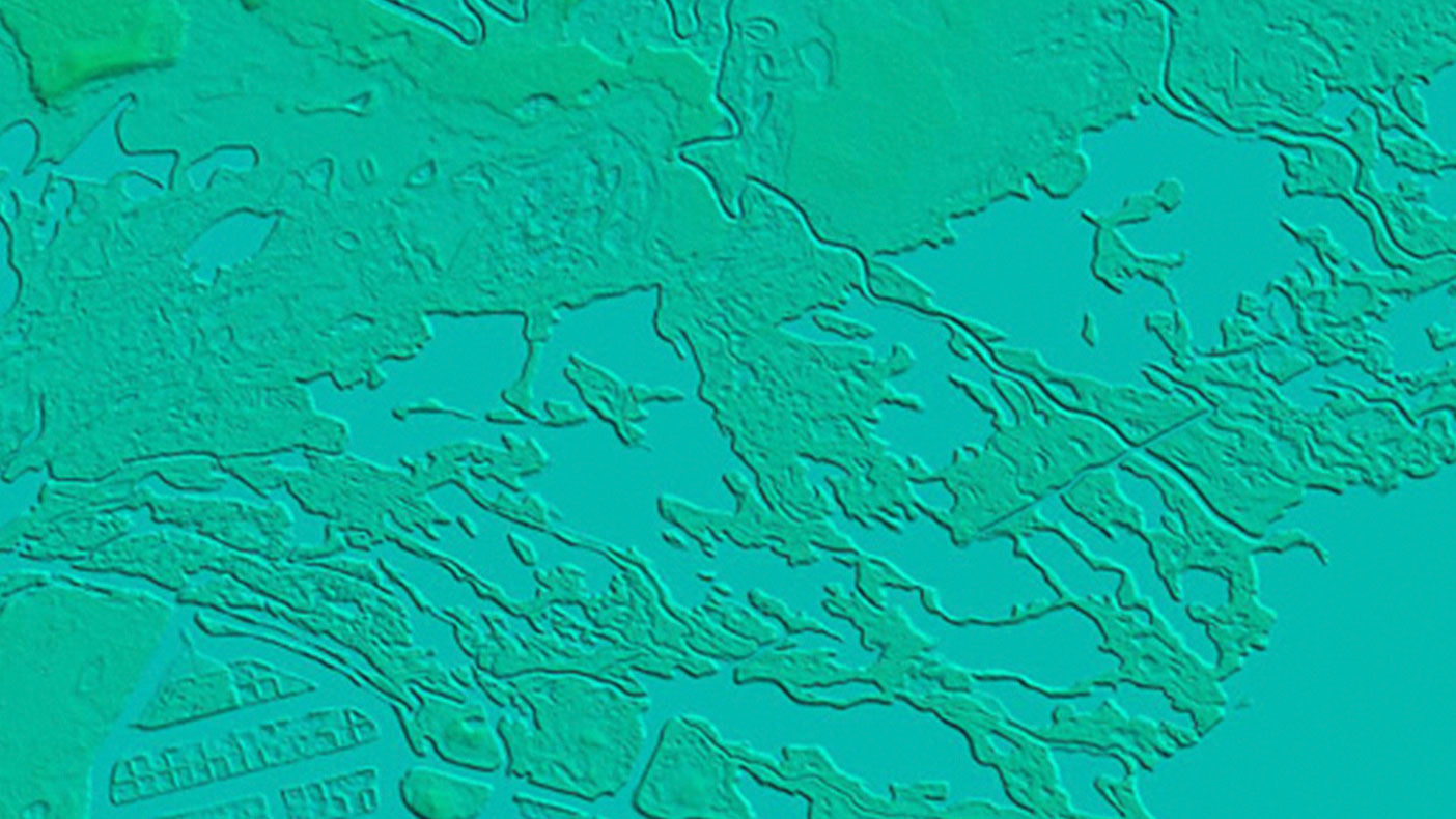
We normalized the disparate elevation data in order to develop a standard 3-meter digital elevation model of more than 28,000 square miles of U.S. coastline.
- Owner/Client
- NOAA
- Location
- Nationwide
- Services
- Technology, Geospatial, Mapping, and Survey
- Square Mileage
- 28,000 SM
- Completed
- 2013
- Region
- Nationwide
In order to help decision makers and the general public understand and visualize the potential impacts of sea level rise, the NOAA Coastal Services Center has developed a sea level rise impact web viewer. An important component of the sea level rise models used in this viewer is accurate digital elevation models. We assisted NOAA with inventory and analysis of all available lidar data. We also made corrections to the source data in an effort to normalize disparate datasets from various local, state, and federal agencies.
28,000+
square miles of U.S. coastline
Related Projects


- Location
- Nationwide
- Location
- Virginia Beach, VA

- Location
- St. Louis, MO
- Market
- Federal

- Location
- New York, NY
- Location
- Puerto Rico
- Location
- Houston, TX
- Location
- Nationwide
- Location
- Nationwide

- Location
- Tobyhanna Army Depot, PA
- Market
- Community Facilities
- Location
- San Joaquin County, CA