
Shark River Channel and Spur Dredging
Preserving the Coastal Economy After Superstorm Sandy
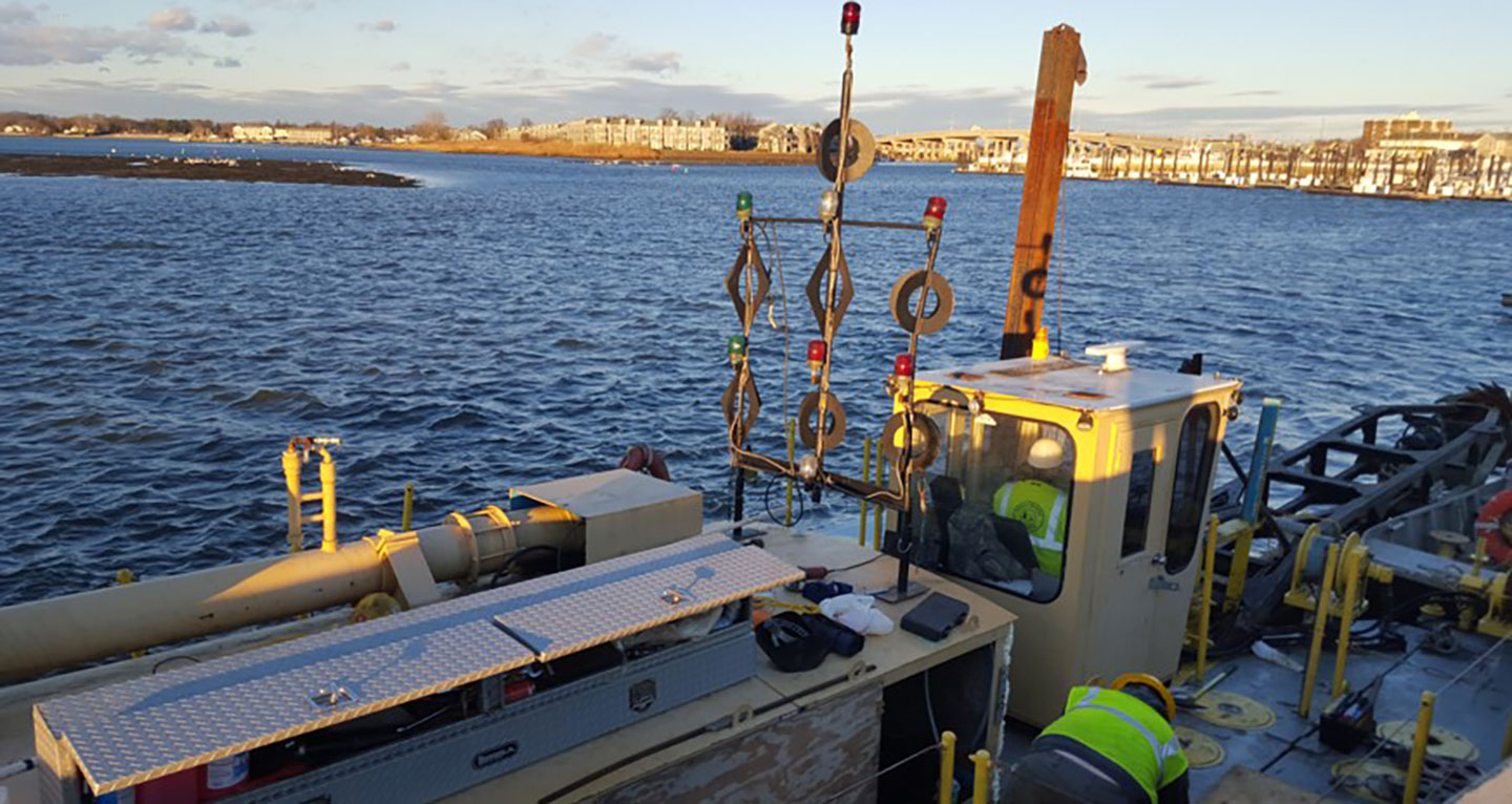
The dredge pipeline was floated, except at channel crossings where it was submerged to avoid a hazard or hindrance to navigation.
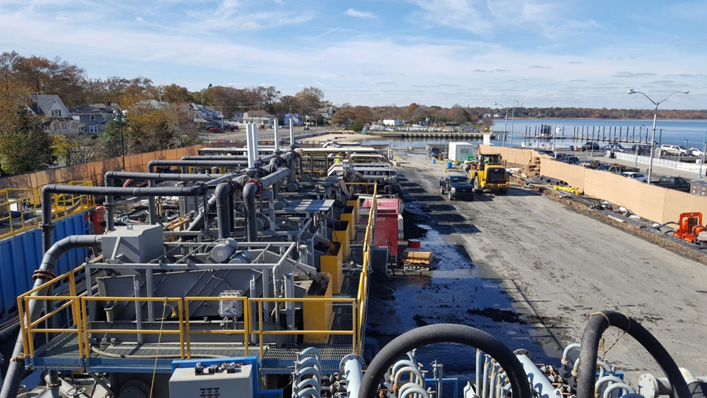
The Belmar Marina parking lot was used for dewatering and transporting the dredge material to the Monmouth County Reclamation Center.
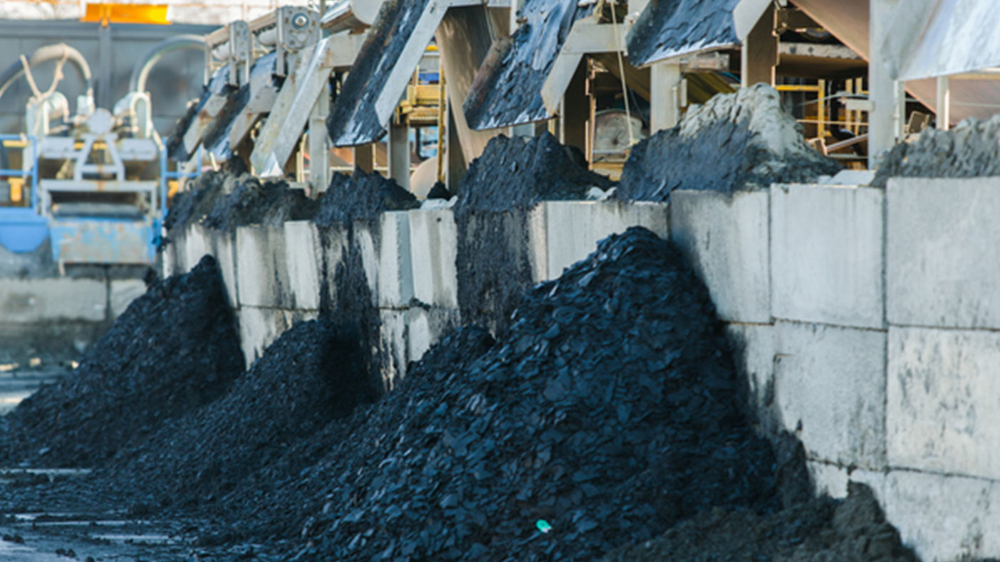
The dredge material was used as daily landfill cover.
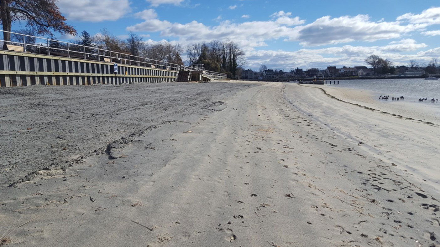
The treatment system produced 650 tons of sand suitable for placement on a local beach.
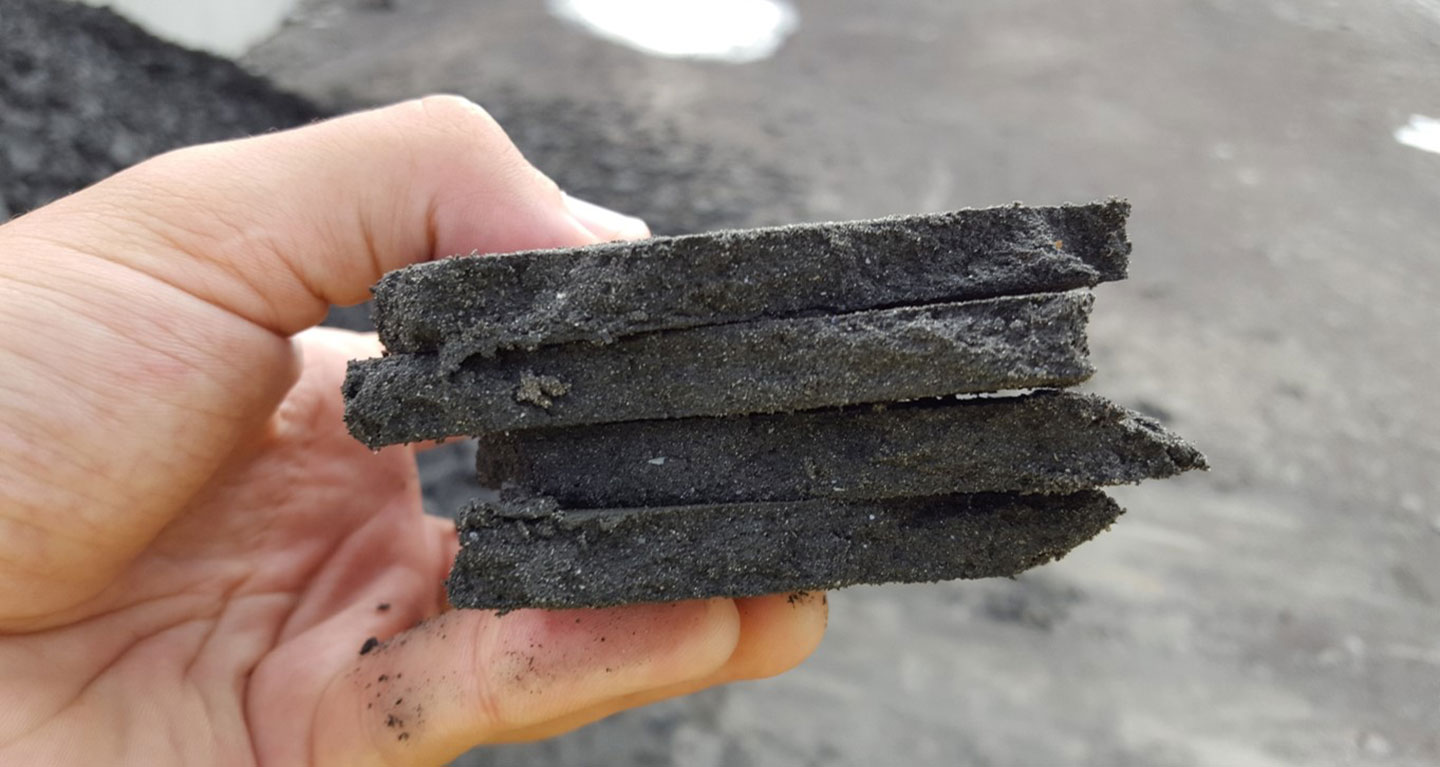
Fines produced by belt press.
- Owner
- New Jersey Department of Transportation
- Location
- Neptune, NJ
- Markets
- Water, Transportation
- Size
- Approximately 70,000 cubic yards of dredged material
- Cost
- $8 million
- Completed
- 2017
- Region
- Northeast
The Shark River Channel and Spur in Monmouth County, New Jersey, requires periodic maintenance dredging, which was last authorized by the U.S. Army Corps of Engineers (USACE) in 1985. In 2012, Superstorm Sandy caused sand, mud, and silt shoaling in the channel and spur, which severely impacted the navigable channels and jeopardized the coastal economy.
We were charged with helping dredge these channels to open them up for safe recreational and commercial boating. We helped complete the hydraulic dredging of nearly 70,000 cubic yards of sediment from approximately 1.6 miles of the channel and
spur. Material was hydraulically dredged and piped through a secure welded pipeline to a staging location where it was dewatered for final placement. Once completed, the project vastly improved the navigable channels with minimal impact to
the community and local environment.
Our services included hydrographic survey coordination, engineering to prepare plans and specifications, cost estimation, permit support (USACE Individual Section 10 Permit and a NJDEP Waterfront Development Permit/Water Quality Certification),
bidding support, environmental and historic preservation compliance, and full-time construction inspection.
1.6 miles
miles of river dredged
Related Projects
- Location
- Lakeland, FL
- Market
- Water

- Location
- Currituck County, NC
- Location
- Denver, CO

- Location
- Nationwide