July 27, 2018
Daniels appointed during the Louisiana Floodplain Management Association’s 35th Annual Technical and Business Conference.

Discover project, people, and trend insights and news, shared as videos, publications, press releases, podcasts, and blogs.
285 insights
July 27, 2018
Daniels appointed during the Louisiana Floodplain Management Association’s 35th Annual Technical and Business Conference.

May 24, 2018
The Great Lakes basin is an enormous watershed that includes the five Great Lakes and land in the surrounding eight states and the Canadian province of Ontario. Recently, we completed a Great Lakes coastal flood hazard analysis and mapping study for Lake Eire and Lake Ontario for the Federal…

May 17, 2018
There are two ways to find the solution to this question.

May 17, 2018
Firm to perform a nationwide GIS analysis of the National Flood Insurance Program mapping and historical claims data.
May 3, 2018
James Mawby and Shannon Reed
In September 2017, Hurricanes Irma and Maria, both Category 5 storms, caused extensive damage to Puerto Rico and the U.S. Virgin Islands. James Mawby and Shannon Reed were among several Dewberry employees deployed to the territories under the firm's Strategic Alliance for Risk Reduction (STARR II)…
April 30, 2018
Firm awarded for emergency management efforts following 2016 Louisiana flooding.
April 6, 2018
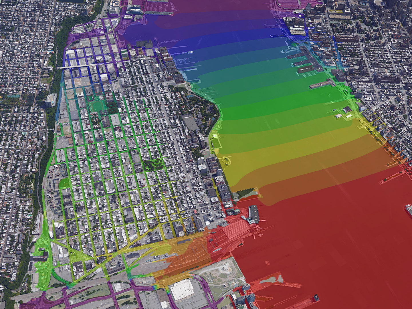
Project developed in response to Superstorm Sandy to make Hoboken, parts of Jersey City and Weehawken more resilient to future coastal storm surge and rainfall events.
February 27, 2018
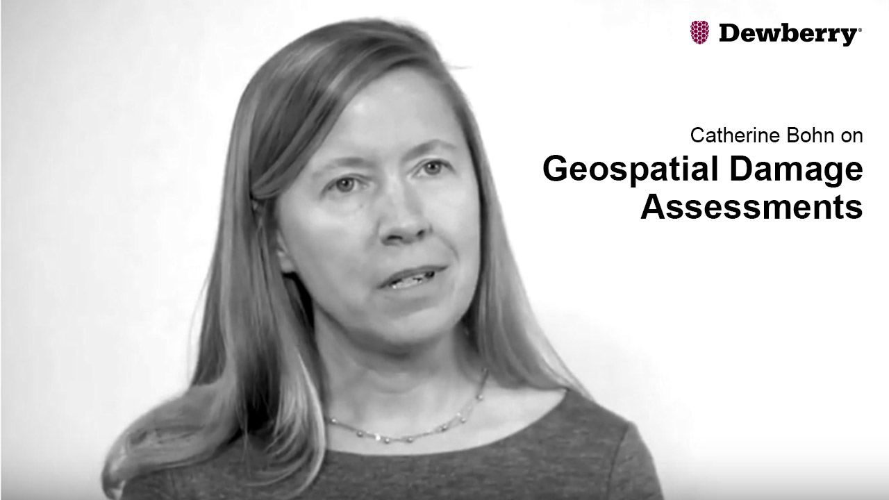
Associate Vice President Catherine Bohn discusses the process of performing geospatial damage assessments.

February 1, 2018
Mat Mampara
As an engineer, one of the most exciting developments I've seen in the past few years involves the harnessing of "big data," or large and complex datasets, for asset management, capital planning, risk assessment, and program evaluation. With modern computing power, algorithms that can efficiently…
November 21, 2017
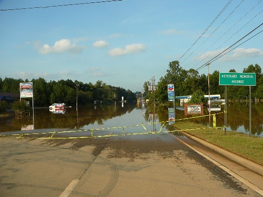
Firm to analyze six design alternatives along creek and tributaries.
September 28, 2017
John Boulé, Ken Spahn, Rahul Parab, David Hill, Larry Smith and Ileana Ivanciu
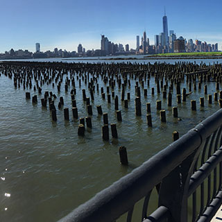
In the aftermath of Superstorm Sandy in October 2012, Hoboken, New Jersey, was among several communities in the Northeast that began to explore long-term solutions to address sea level rise and coastal flooding. The city's efforts were aided by Rebuild by Design, an international design competition…
September 23, 2017
Dewberry is currently providing geospatial support, including modeling, imagery analysis, and data interpretation, to the Federal Emergency Management Agency (FEMA) in the aftermath of Hurricane Harvey in Texas and Louisiana; Hurricane Irma in Puerto Rico, the U.S. Virgin Islands, Florida, Georgia…
Discover how our values, solutions, and years of experience come together to shape the built environment for our communities.
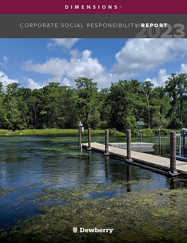
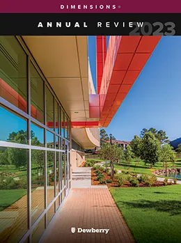
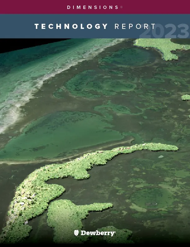
Our annual review and corporate social responsibility report, in one place.



Media and trade publications are permitted to use “Dewberry” as a shorthand to reference a particular Dewberry company. Third parties are not permitted to use Dewberry’s federally registered trademarks without Dewberry’s written consent.