Susquehanna River Basin: Inundation Mapping Viewer
Inundated with Accessibility
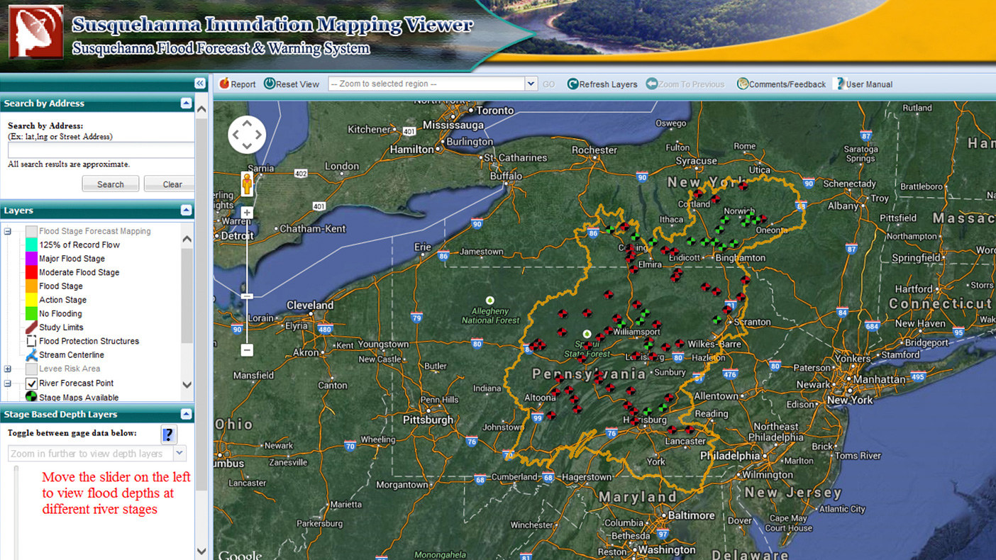
Built around an ArcGIS server, the Susquehanna Inundation Mapping Viewer (SIMV) is a web-based tool that displays hazard information on an easy-to-use Google Map interface that allows users to see potential flood risks to personal property.
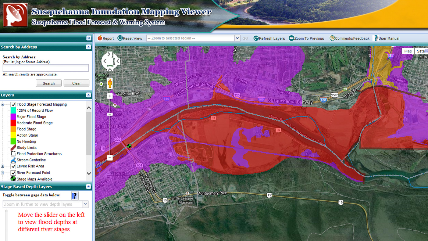
Inundation data developed using high-resolution LiDAR technology reveals a variety of flooding scenarios at multiple forecast points along the river
- Client
- Susquehanna River Basin Commission
- Location
- Tioga County, NY; Broome County, NY; Chenango County, NY
- Services
- Technology, Geospatial, Mapping, and Survey
- Completed
- 2011
- Region
- Northeast
The Susquehanna River Basin Commission tasked us with developing a custom inundation mapping viewer that was publicly accessible as a means to communicate flood hazards to reduce flood losses and increase awareness. We delivered a powerful decision-making tool for emergency managers and the general public. The web-based application provides personalized risk reports for any location affected by flooding and allows a user to see the potential risk to property, structures, or landmarks while also viewing the latest observed and predicted river conditions.
Related Projects


- Location
- Nationwide
- Location
- Virginia Beach, VA

- Location
- St. Louis, MO
- Market
- Federal


- Location
- New York, NY
- Location
- Houston, TX

- Location
- Nationwide
- Location
- Nationwide

- Location
- Tobyhanna Army Depot, PA
- Market
- Community Facilities
- Location
- San Joaquin County, CA