
Cielo Falls
Information Modeling Maps Mountain Terrain
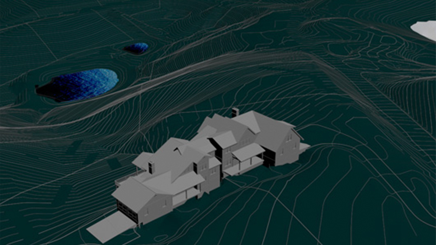
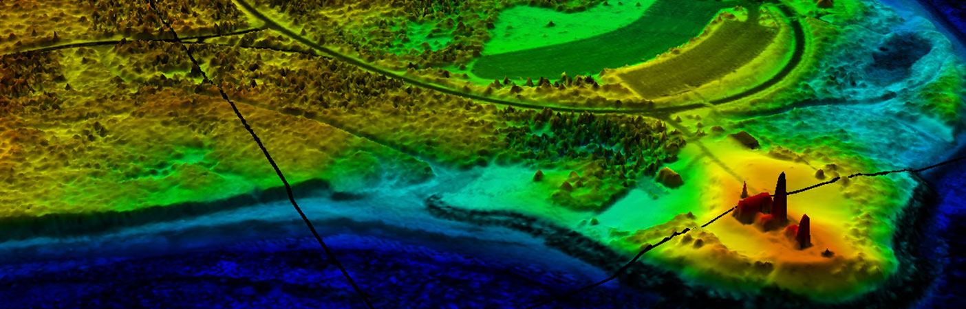
Virtual design and construction (VD&C) techniques enabled us to create a design process where information modeling revealed best-fit scenarios for infrastructure placement, lot orientation, and structure placement.
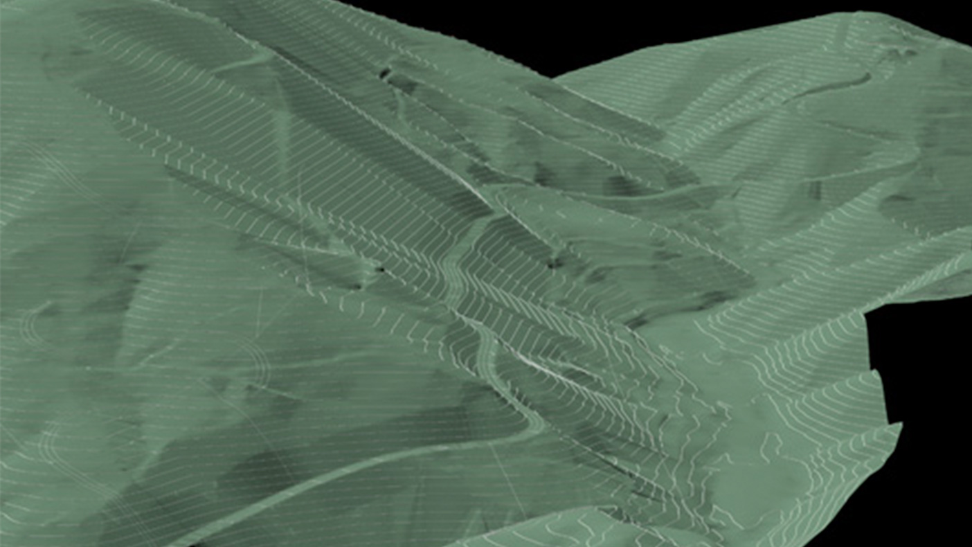
Supporting infrastructure will include 12 miles of roadways and underground utilities, three covered bridges, and two lakes with reuse of processed water for irrigation and amenity ponds.
- Owner/Client
- USP Development, LLC
- Location
- Blue Ridge Parkway, NC
- Services
- Geospatial, Mapping, and Survey, Technology
- Acreage
- 1,100 acres
- Cost
- $1 million
- Completed
- 2013
- Region
- Southeast
Our advanced technology design processes gave USP Development LLC an enhanced understanding of Cielo Falls’ constraints and attributes, in planning for their 1,100-acre, upscale development located along the Blue Ridge Parkway, North Carolina. We used virtual design technology – in real time and scale – to evaluate and depict this mountainous area. We gauged and navigated rugged terrain, extreme slopes, and environmental preservation issues for potential roadway alignments, lot layouts, earthwork impacts, and aesthetic design.
1,100
acres
12
miles of roadways and underground utilities surveyed
Related Projects

- Location
- Nationwide
- Location
- Virginia Beach, VA
- Location
- New York, NY
- Location
- Puerto Rico

- Location
- Houston, TX
- Location
- Nationwide

- Location
- Tobyhanna Army Depot, PA
- Market
- Community Facilities
- Location
- San Joaquin County, CA
- Location
- Puerto Rico