
USGS Channel Islands Lidar
Safe from Extinction
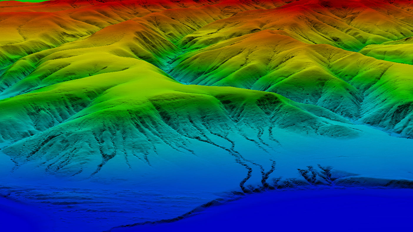
Our models provided topography details consisting of mountains, deep canyons, pasture lands, and craggy coastline cliffs vital to several endangered species.
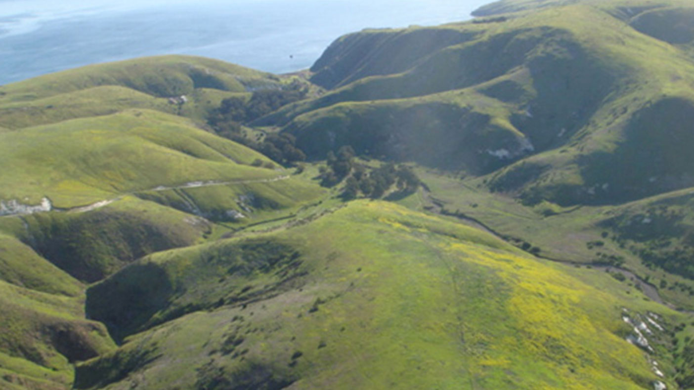
Our experience in providing complex remote sensing and mapping projects coupled with sensitivity to the environment allowed for minimal impact on the fragile environment.
- Owner/Client
- USGS
- Location
- Channel Islands National Park, CA
- Services
- Geospatial, Mapping, and Survey, Technology
- Completed
- 2011
- Region
- West
The five islands comprising Channel Islands National Park are home to more than 2,000 plants and animals; 145 of which are found only on these islands. In accordance with Congress’ plan to preserve and monitor the fragile ecosystems of the park off the coast of Santa Barbara, California, we teamed with USGS to provide highly accurate, extremely dense, 3D models of these geographically and biologically diverse islands using the latest helicopter-based lidar technology. The information collected will provide new data to scientists and environmentalist for many years.
2,000+
plants and animals on the island
Related Projects


- Location
- Nationwide

- Location
- St. Louis, MO
- Market
- Federal




- Location
- Pekin, IL

- Location
- New York, NY
- Location
- Puerto Rico
- Location
- Houston, TX

- Location
- Nationwide