October 20, 2015
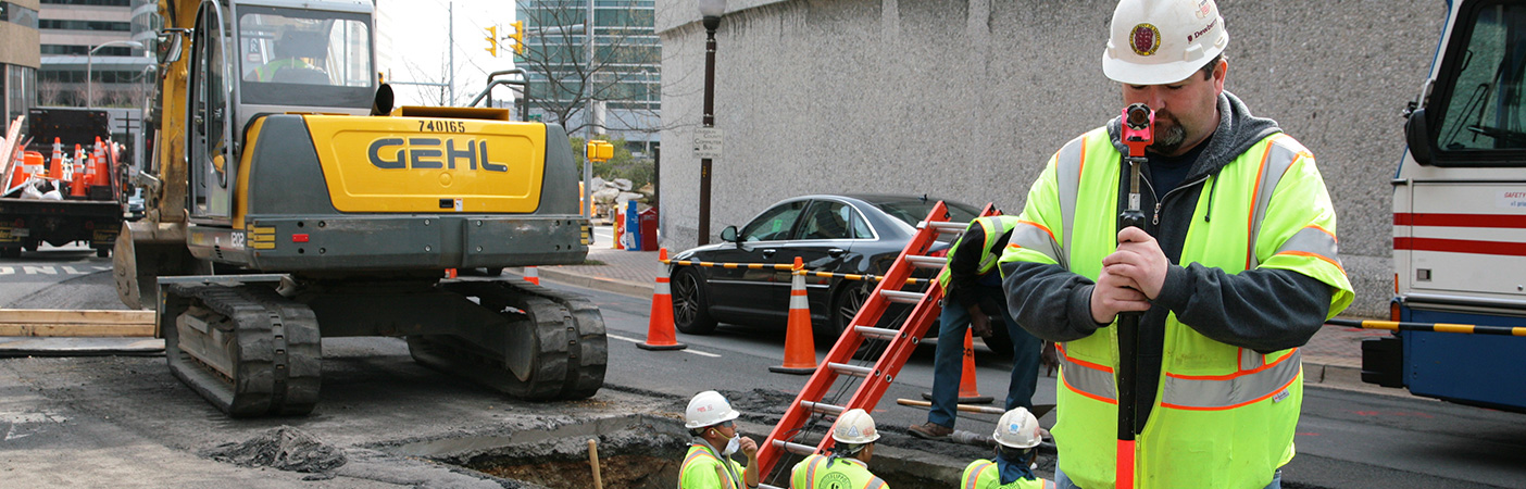
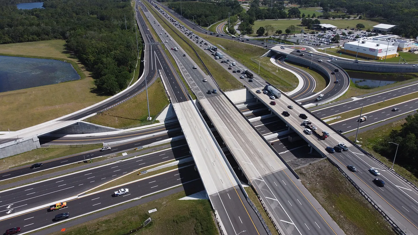
Dewberry finished major improvements along Washington Boulevard and Columbia Pike.

Discover project, people, and trend insights and news, shared as videos, publications, press releases, podcasts, and blogs.
258 insights
October 20, 2015
Dewberry finished major improvements along Washington Boulevard and Columbia Pike.
July 18, 2015
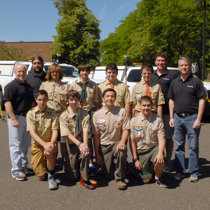
Robert Telschow, professional land surveyor and merit badge counselor, and his colleagues supervised scouts who passed and earned their survey merit badge.

June 26, 2015
Dewberry received the LCDR Peter Johnson Best Practices Award for their work on the NOAA Supplemental Sandy Topobathymetric Lidar and Imagery project.
January 29, 2015
Dewberry was selected by NOAA to capture gravity-based vertical datum as part of the Gravity for Redefinition of the American Vertical Datum project.

April 3, 2014
Dave Maune
In January 2008 I visited Alaska for the first time and had the opportunity to brief members of the Alaska Statewide Digital Mapping Initiative (SDMI) on Dewberry's experience in the production of Digital Elevation Models (DEMs), which would be critical for any new mapping of the state. They…
March 10, 2014
Max Chance and Dan Williams
Power industry security measures are heavily influenced by the surrounding topography...
March 3, 2014
John Gibson
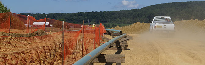
I've been in the surveying industry for nearly 25 years, and more than 18 of those were spent in Southeast Michigan, near Detroit. Working as a field coordinator, survey project manager, and then vice-president of field operations, I honed my GPS, topographic, and boundary mapping skills until the…
January 30, 2014
In April of 2013, Sasha Reed of Building Design + Construction magazine wrote an article on implementing futuristic AEC technologies, like BIM, into general work plans. What stood out specifically was her analysis of how general adoption is preceded by public entities: "When a city or municipality…
November 21, 2013
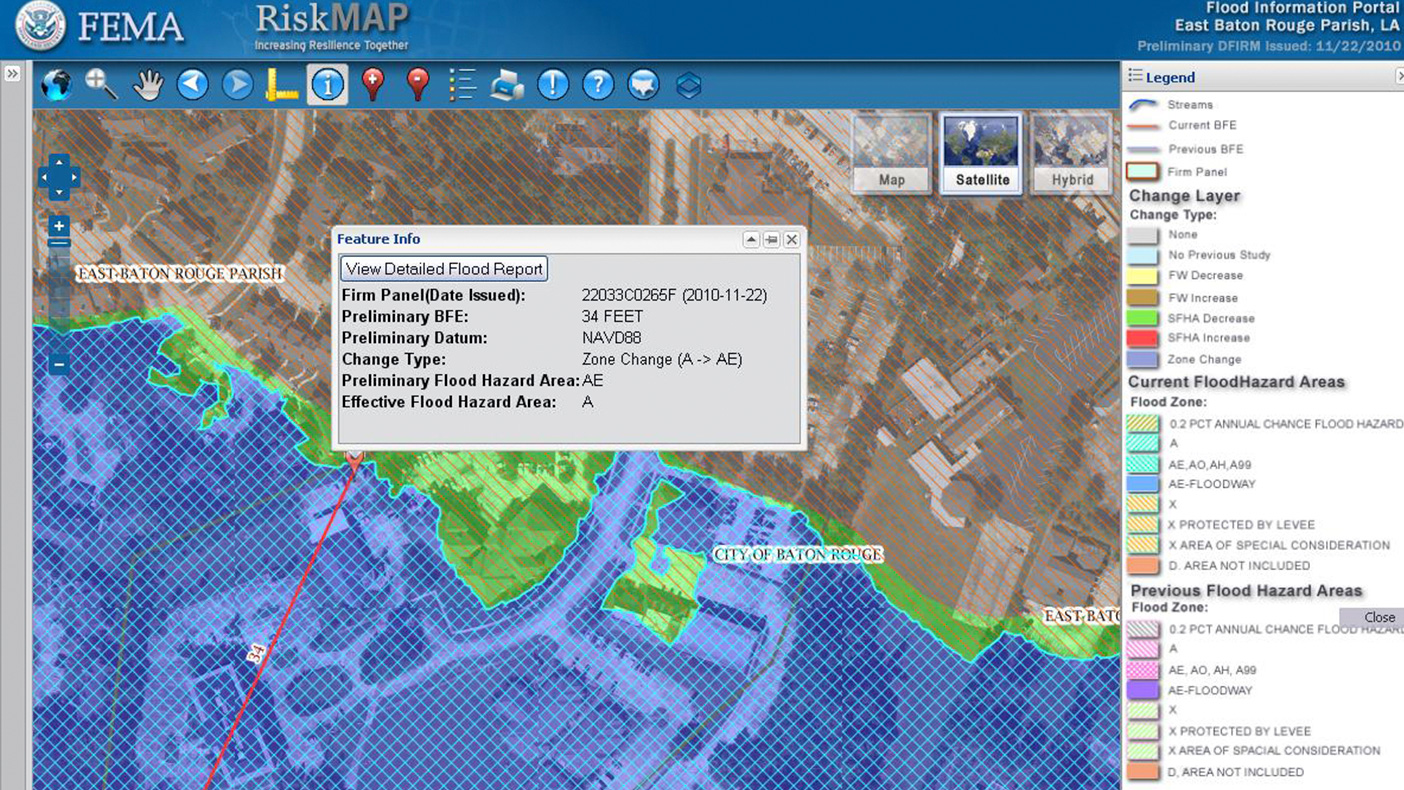
Since yesterday, November 20, was International GIS Day, I say happy GIS Day to you! That may beg the question for some of you, "What is GIS?" GIS is short for geographic information systems. Now that I've used jargon to clarify an acronym, I'll try to explain what GIS really is.
November 21, 2012
Alison Yeloushan
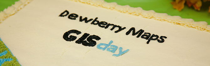
Last Wednesday, November 14, we hosted an open house at our Fairfax office to support GIS Day; an international event celebrating geographic information systems (GIS) technology.
September 20, 2012
Alison Yeloushan, Sarah Sleyman and Matthew Viverito
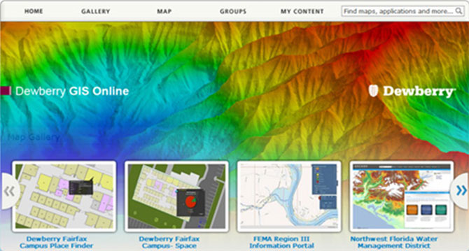
As Dewberry implements the latest cloud GIS technologies, we've leveraged Esri's ArcGIS Online mapping platform to deploy an internal solution we call, Dewberry GIS Online (DGO). The ArcGIS Online mapping platform allows users to easily access maps, data, and applications from various business…

July 19, 2012
Catherine Bohn
As part of Dewberry's Disaster Cadre, my first deployment was in 1999, providing geospatial support of FEMA mitigation efforts after Hurricane Floyd.
Discover how our values, solutions, and years of experience come together to shape the built environment for our communities.
Our annual review and corporate social responsibility report, in one place.




Media and trade publications are permitted to use “Dewberry” as a shorthand to reference a particular Dewberry company. Third parties are not permitted to use Dewberry’s federally registered trademarks without Dewberry’s written consent.