USACE: Fort Worth
Improving Property Quality
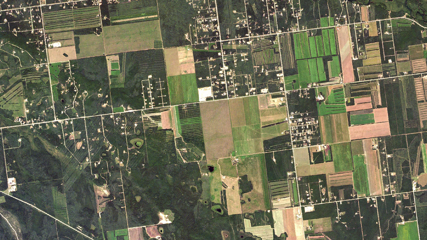
Our custom ArcGIS server application tracks property assets in real-time and satisfies DoD reporting requirements.
- Client
- USACE Ft. Worth
- Location
- White Sands Missile Range, NM
- Markets
- Community Facilities, Federal
- Square Footage
- 2.3 million SF
- Completed
- 2012
- Region
- Southwest
To update the Army’s Physical Asset Inventory System, we provided asset management, planning, and GIS support to the Real Property Management Office at White Sands Missile Range, New Mexico. Under tight schedule, we surveyed 438 facilities totaling 2.3 million square feet within seven weeks. Dimensions of solid walls, work, and storage space, as well as an inventory of personnel and equipment occupying the facilities were measured. We identified 71 buildings that were either demolished or nonexistent. Planning efforts culminated in a new Capital Investment Strategy for investing in real property to support installation missions and Department of the Army objectives. Our GIS software (GeoAMMO) will improve facility status tracking and asset management and is being used by the district at other installations.
438
facilities surveyed
Related Insights
Related Projects


- Location
- Prince George's County, MD


- Location
- Virginia Beach, VA