
Sandy River Topo-Bathymetric Lidar Data
Developing a Customized Software Solution
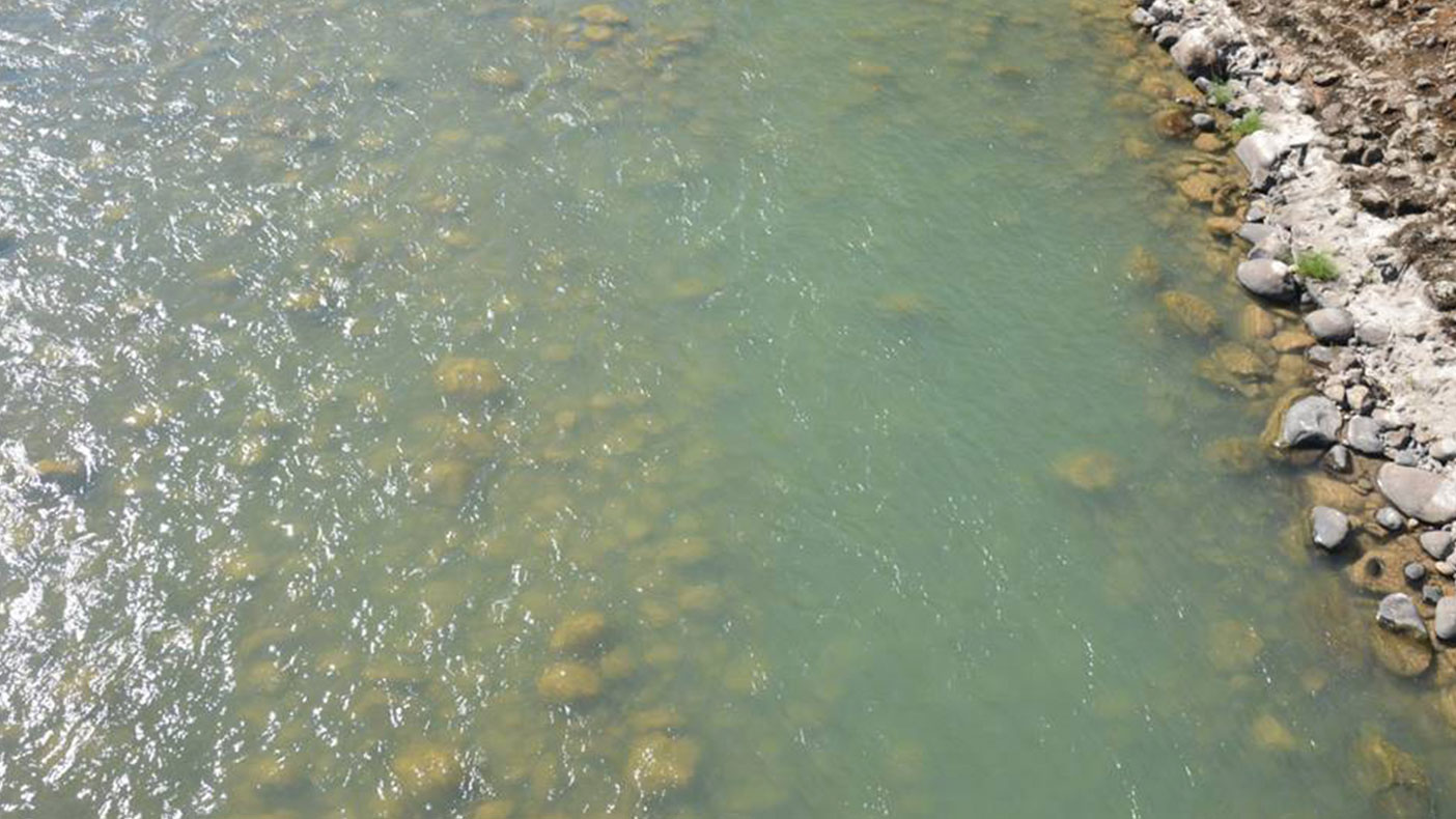
Topo-bathymetric data can be applied to the study of coastal and aquatic ecosystems, as well as coral reef mapping , storm surge modeling, and storm damage assessment.
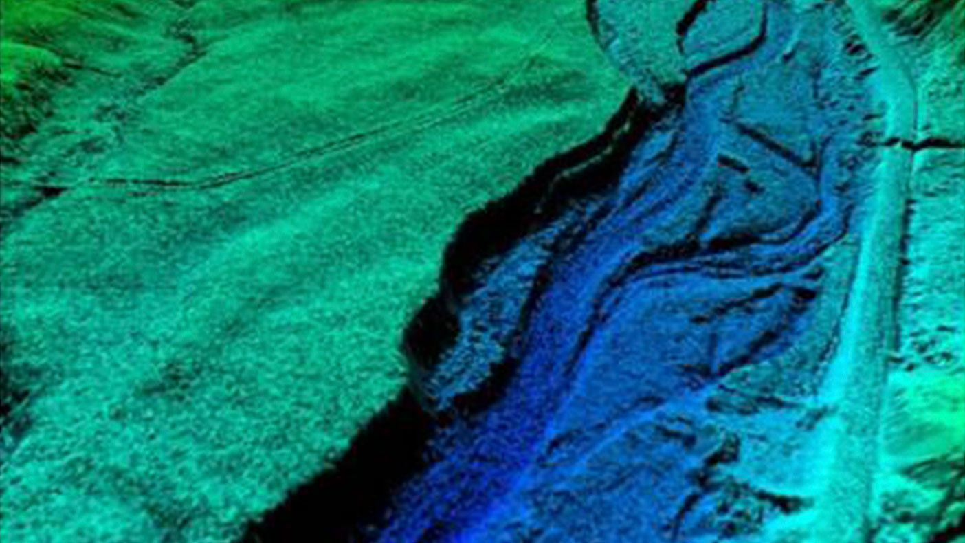
The state of Oregon, FEMA, Bureau of Land Management, and U.S. Forest Service plan to use the topo-bathymetric data for floodplain mapping, management of fisheries, and hydrologic and hydraulic modeling.
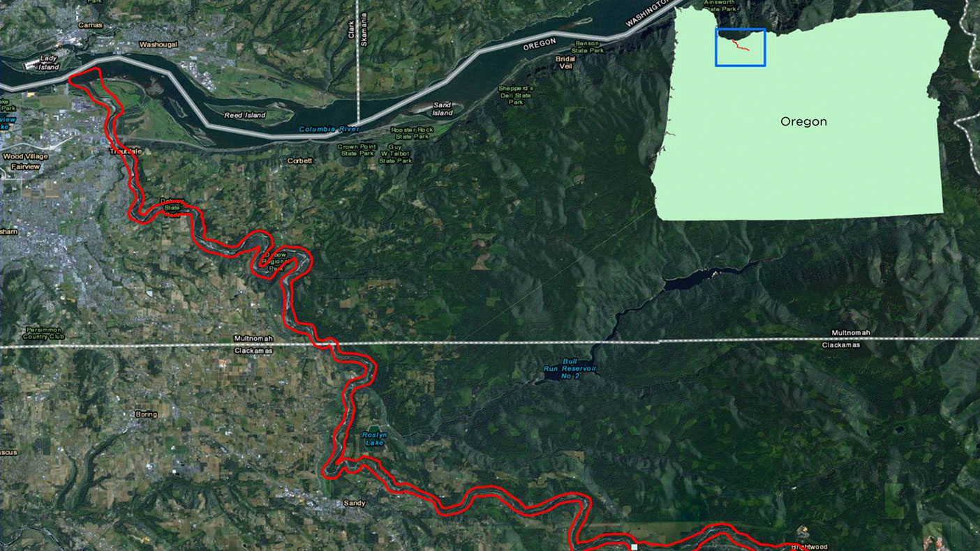
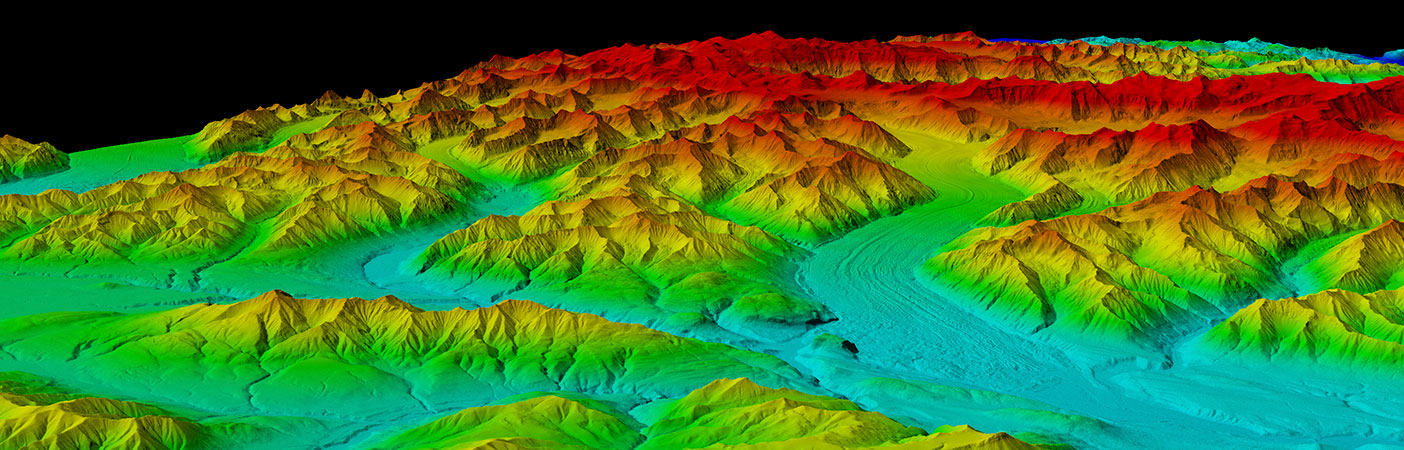
As proved in the Sandy River pilot project, the Riegl VQ820G LiDAR sensor, along with the DLP, can provide seamless topography across the land-water interface at very high spatial resolutions—five to six points per square meter.
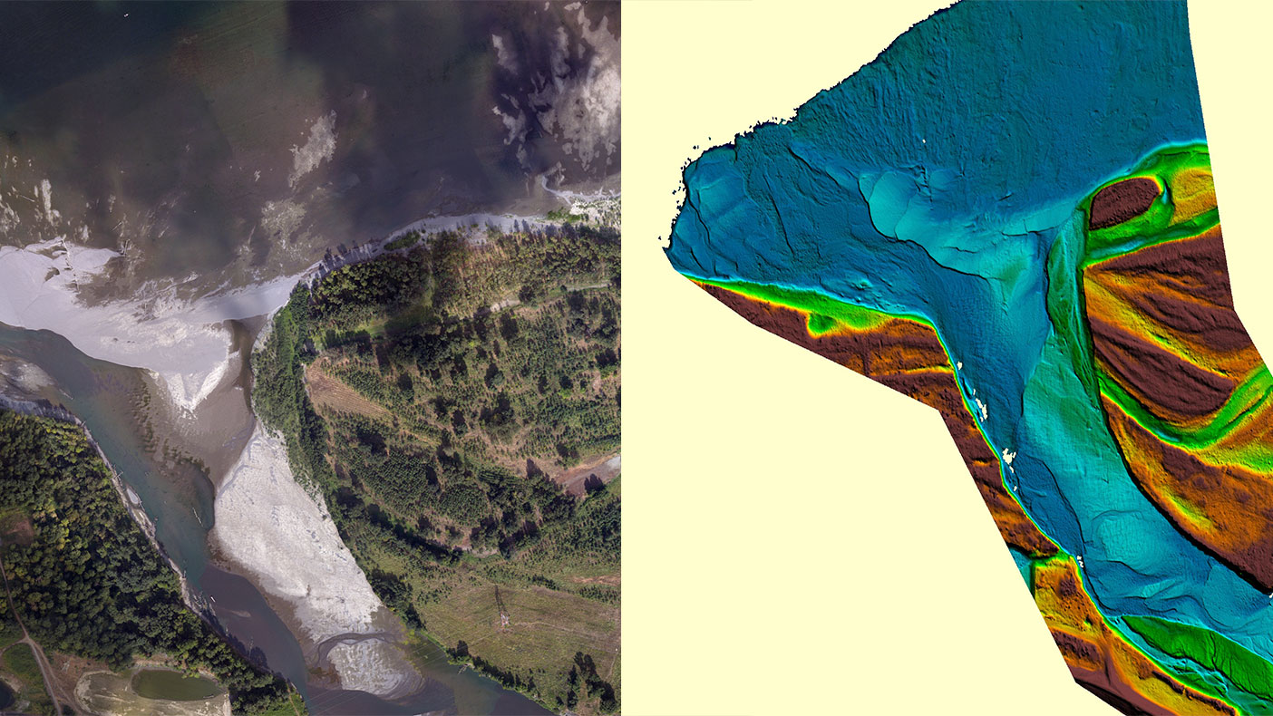
New commercial small-print, green-wavelength airborne LiDAR systems are being developed to enable topo-bathymetric mapping in coastal environments. Our DLP software makes topo-bathy processing commercially viable by automating several processes.
- Client
- State of Oregon FEMA BLM
- Location
- OR
- Services
- Geospatial, Mapping, and Survey, Technology
- Square mileage
- 11 square miles
- Completed
- 2013
- Region
- West
In order to more accurately map the topo-bathymetric surface along the Sandy River in Oregon, we developed a customized software solution – Dewberry’s Lidar Processor (DLP) – to process Lidar data. The DLP includes a tool that allows for the correction of the refraction of laser light as it enters the water using multi-wavelength Lidar, as well as a point-to-point comparison and other analysis tools for processing topo-bathymetric Lidar data. We used the DLP to create a seamless topo-bathymetric surface along the Sandy River, measuring depths ranging from zero to three meters.
Related Projects


- Location
- Nationwide
- Location
- Prince George's County, MD
- Location
- Virginia Beach, VA
- Location
- St. Louis, MO
- Market
- Federal