Coastal California Data Merge
Merging Data to Create a Complete Map
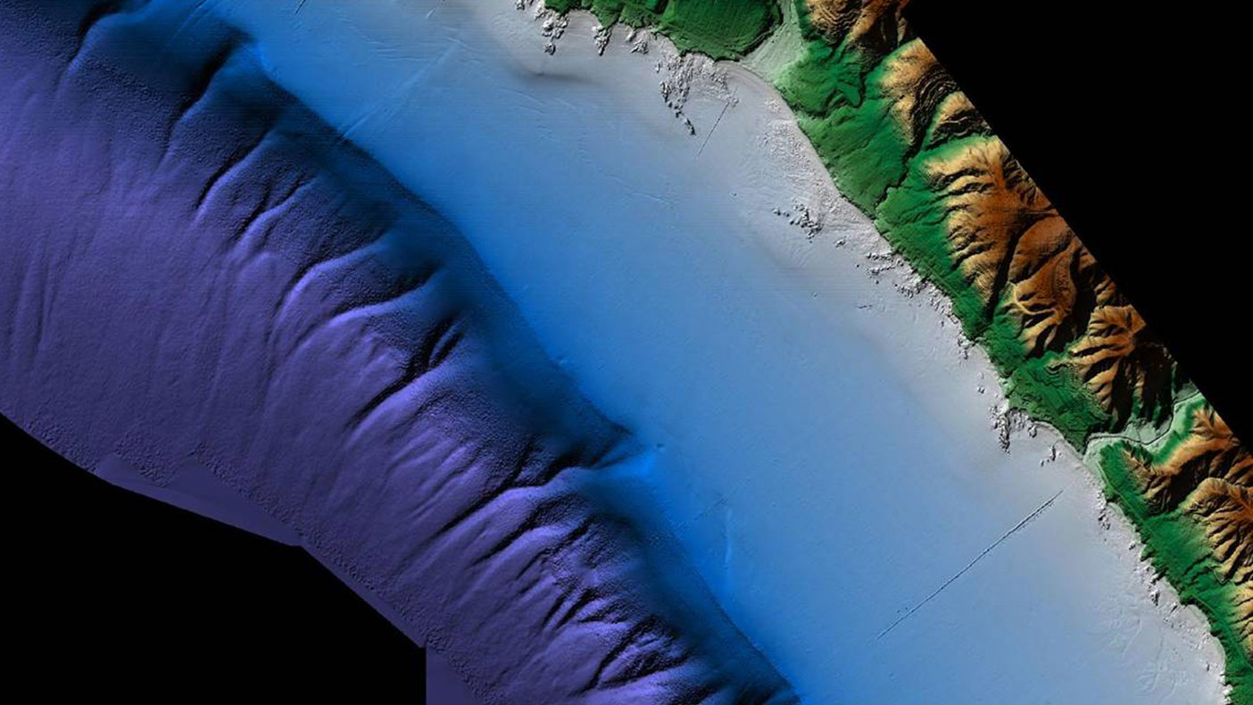
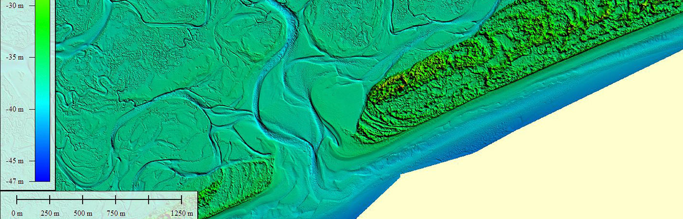
The Laguna Beach DEM pictured represents a seamless topobathymetric merged data set acquired using airborne topographic LiDAR, airborne bathymetric LiDAR, and ship-based acoustic data.
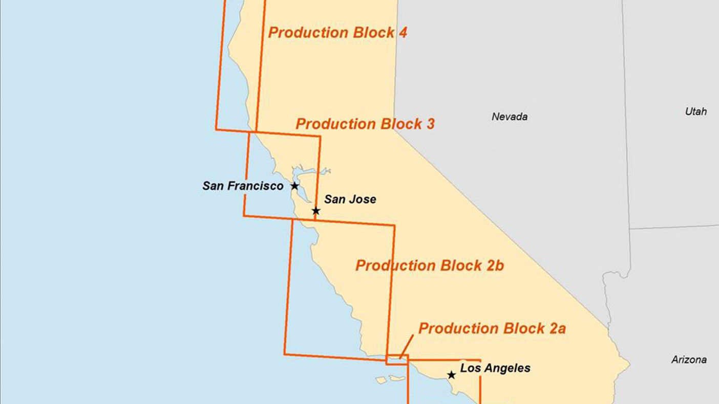
The project area encompassed more than 6,000-square-miles and spanned the entire length of the California coastline (except San Francisco Bay) from the 10-meter contour interval inland to the three-mile nautical limit.
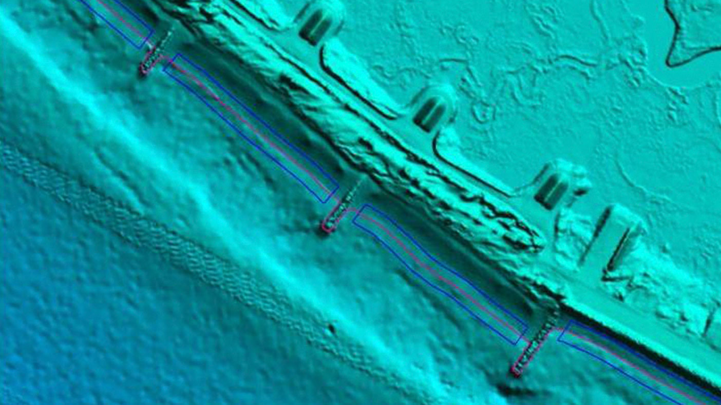
We identified voids and seamlines in the topographic, bathymetric, and acoustic surveys and developed semi-automated techniques to smooth these areas to create a seamless topobathymetric data set.
- Owner/Client
- National Oceanic and Atmospheric Administration
- Location
- CA
- Services
- Geospatial, Mapping, and Survey, Technology
- Completed
- 2013
- Region
- West
Under the direction of the National Oceanic and Atmospheric Administration (NOAA), we were selected as the prime contractor to perform a comprehensive inventory and merger of all topographic lidar, bathymetric lidar, and acoustic surveys for the coast of California. This included reviewing the project documentation and defining accuracy requirements for more than 200 datasets used in the creation of the final digital elevation models (DEM).
This project was supported by multiple partners throughout the State of California including the Ocean Protection Council and Department of Water Resources. The completed products will be used by various agencies for performing tasks such as:
- Sea level rise
- Tsunami and storm surge forecasting and modeling
- Sediment management
- Coastal and marine spatial planning
- Shoreline delineation
200+
datasets
Related Projects

- Location
- Nationwide

- Location
- St. Louis, MO
- Market
- Federal
- Location
- Puerto Rico
- Location
- Nationwide
- Location
- San Joaquin County, CA
- Location
- Louisa, VA