Scenario Development for Tampa Bay Catastrophic Plan Exercise
Adopted SLOSH Models
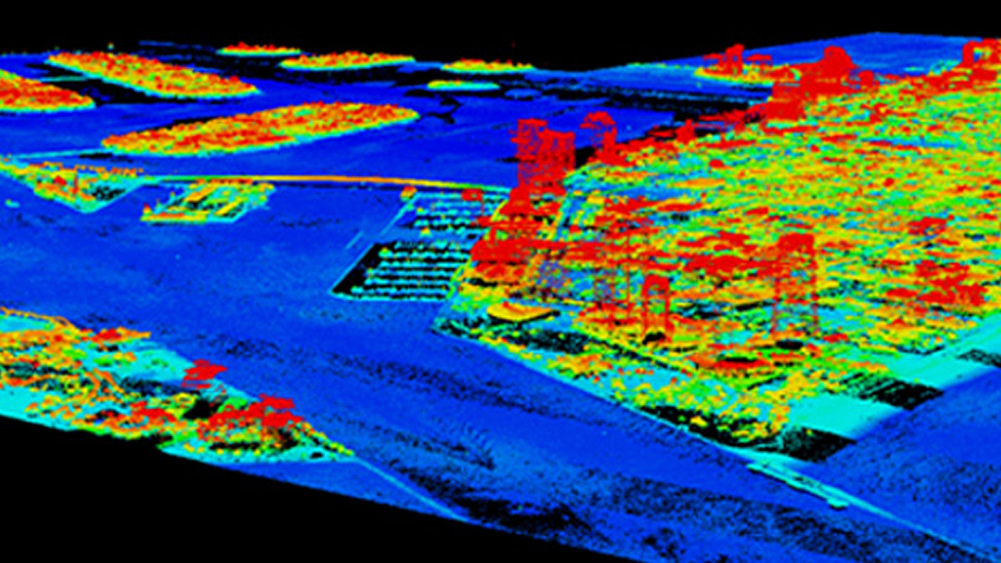
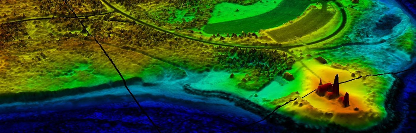
High-resolution, full cloud LiDAR data at the Port of Miami and South Beach is used as the basis for the SLOSH model elevations.
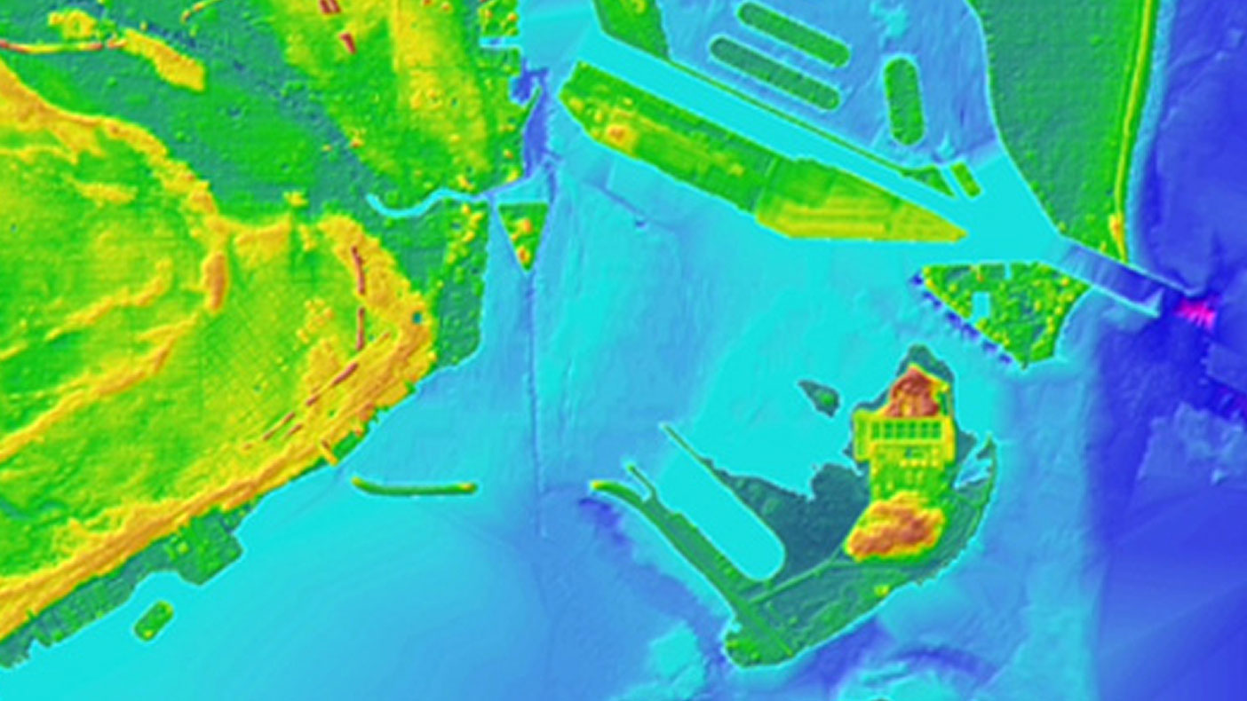
Topographic and bathymetric data of southeast Florida was developed for the project.
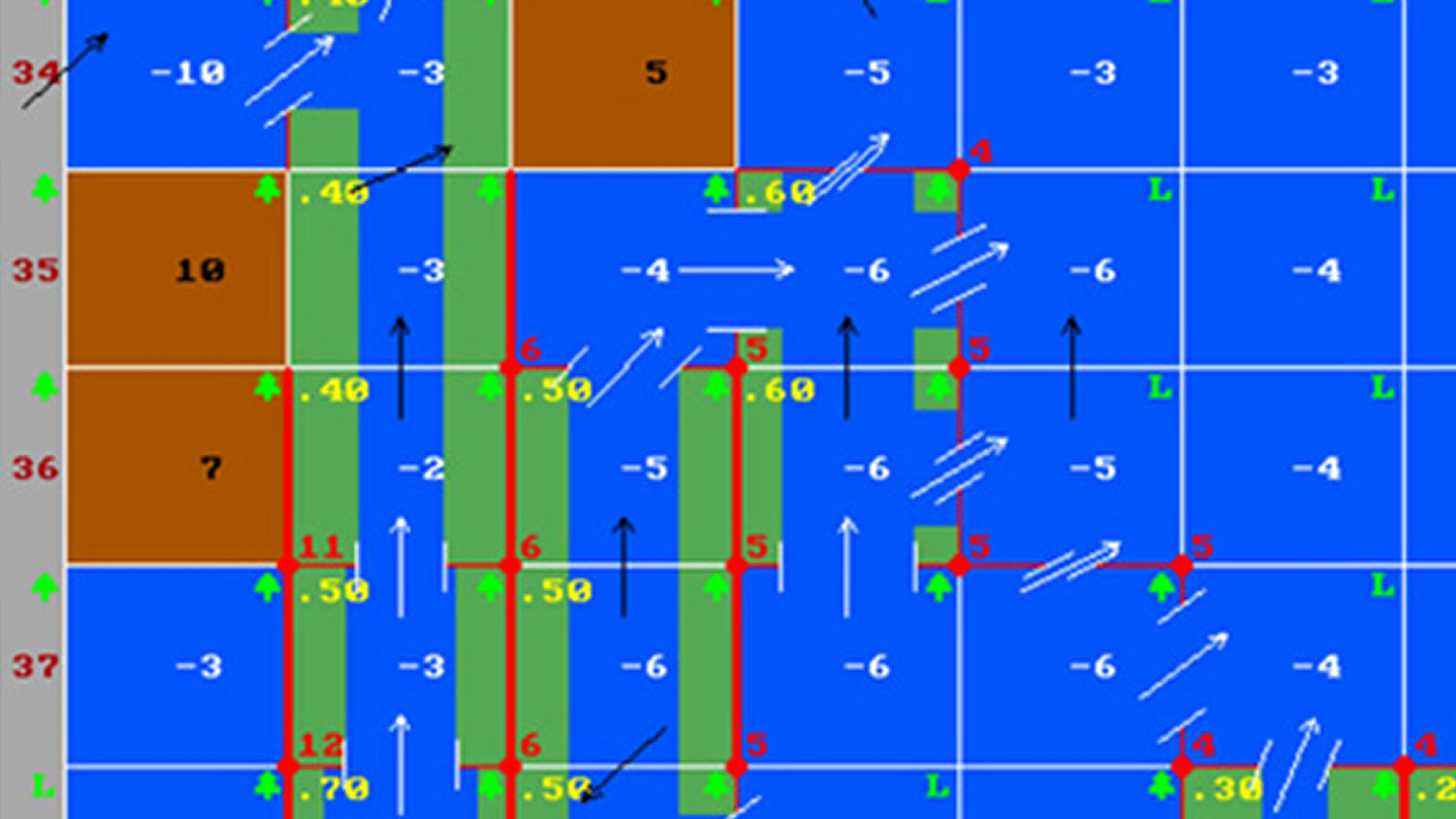
An updated model deck for the Port of Miami and South Beach was delivered to the National Hurricane Center.
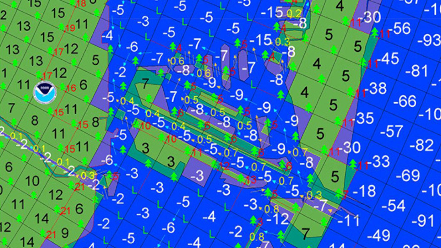
Our SLOSH models were quickly adopted by the National Hurricane Center (NHC) and are currently used for hurricane evacuation studies and real-time storm surge forecasting.
- Client
- Florida Department of Emergency Management
- Location
- Tampa, FL
- Services
- Geospatial, Mapping, and Survey
- Completed
- 2009
- Region
- Southeast
Following the 2004 and 2005 hurricane seasons, the Florida Department of Emergency Management recognized the critical need for accurate storm surge modeling. As the only private company to have completed a Sea, Lake, and Overland Surges from Hurricanes (SLOSH) model that had been approved by the National Weather Service, we were selected to update nine of the 11 SLOSH models in Florida. Working with our JV partners URS and ESP, the project included robust GIS tools for the analysis of high resolution topographic data to facilitate SLOSH model production resulting in cost effective, timely, and accurate model development.
9
SLOSH models
Related Projects
- Location
- Virginia Beach, VA
- Location
- New York, NY
- Location
- Houston, TX
- Location
- Nationwide
- Location
- Tobyhanna Army Depot, PA
- Market
- Community Facilities
- Location
- San Joaquin County, CA
- Location
- Puerto Rico
- Location
- Tioga County, NY