August 21, 2025
Certification recognizes Dewberry’s ability to reduce digital risk to DoD clients.

Discover project, people, and trend insights and news, shared as videos, publications, press releases, podcasts, and blogs.
205 insights
August 21, 2025
Certification recognizes Dewberry’s ability to reduce digital risk to DoD clients.
July 22, 2025
Firm to provide services as part of five-year MATOC vehicle.

July 3, 2025
Stein based in firm’s Tampa, Florida, office.
July 1, 2025
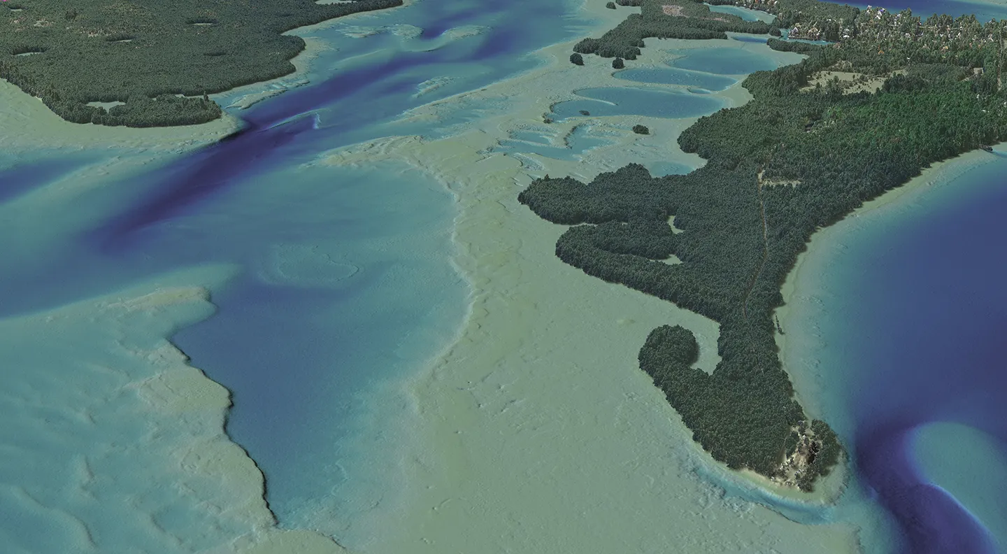
Firm to support NOAA’s NGS shoreline mapping program.
June 5, 2025
Hillary Palmer, Caitlin Vernlund and Shira Ellenson
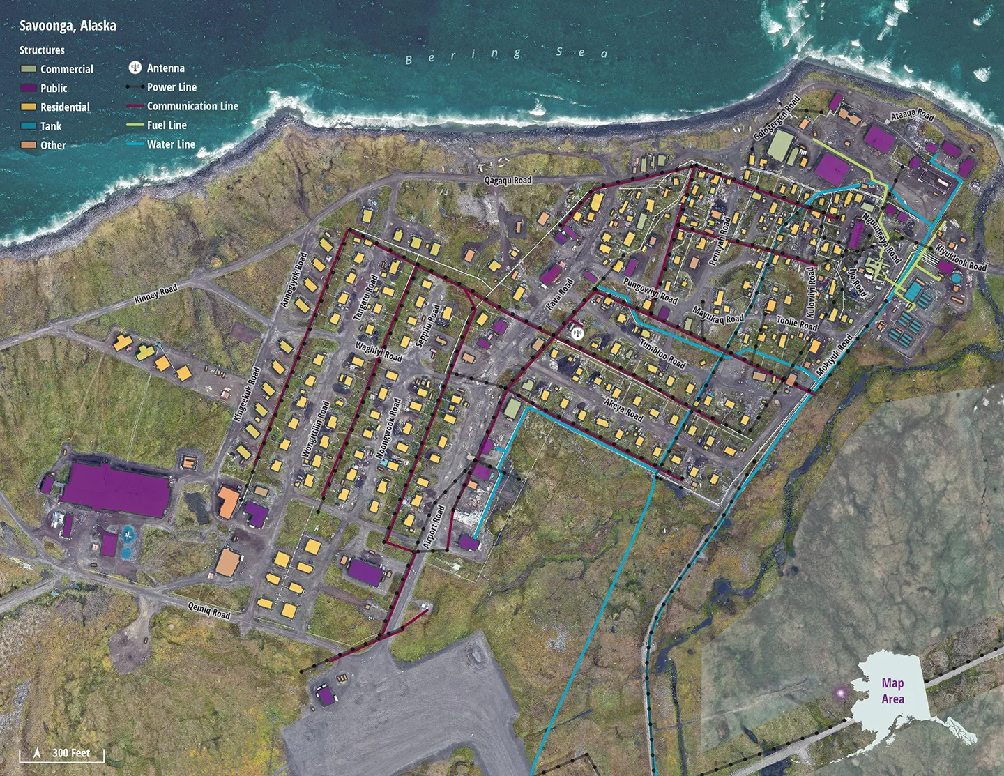
Alaska’s vast landscape is dotted with hundreds of small, isolated communities often accessible only by air or water, and where many residents engage in centuries-old traditional hunting and fishing practices. With no centralized municipal government and few resources of their own, these…

May 22, 2025
Thiel to continue with federal and geospatial and technology divisions while growing opportunities; will support newly acquired OASIS+ contract.
May 16, 2025
Dewberry among firms selected for IDIQ contract to serve federal clients.

May 5, 2025
Montgomery named operating unit manager in Fairfax, Virginia.
April 23, 2025
Josh Novac
In this podcast for Lidar Magazine, Dewberry Associate Vice President and Program Manager Josh Novac joins host Dr. Stewart Walker to describe how he entered the geospatial profession, his growth with our firm, our acquisition of the airborne topobathymetric lidar systems, and some of our current projects.
February 10, 2025
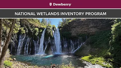
Over the last few years, our firm has been awarded several National Wetlands Inventory (NWI) mapping projects. Established by the U.S. Fish and Wildlife Service, the NWI program provides information to the public on the status and trends of our nation's wetlands. NWI data is available to the public and provides valuable information for biologists, conservation efforts, habitat assessments, land management, and much more. While the mapping is conducted remotely, each project requires a field trip where analysts working on the project travel to the area of interest (AOI) to answer questions that may arise while mapping and to confirm classification protocols used across the project. Our analysts have visited Alaska, Pennsylvania, California, and Wyoming among other locations across the U.S.
January 23, 2025
Zac Winters
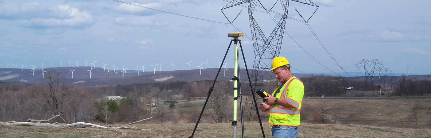
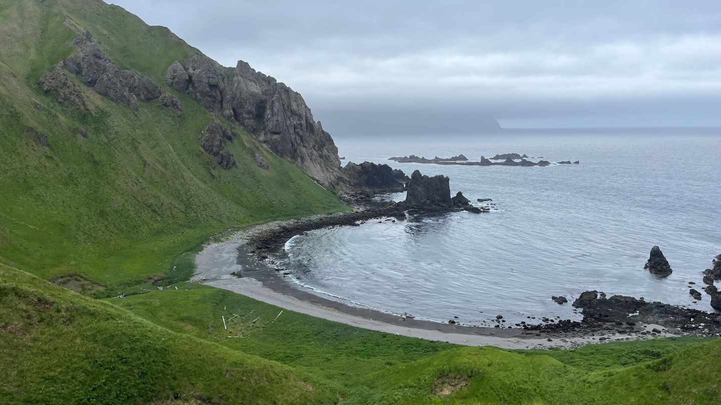
Given the nature of my career in wetland mapping and geospatial technology, I’ve had some pretty incredible opportunities to travel to remote areas and collect data that helps inform federal agencies and protect our nation’s ecosystems. Most of my experiences come from working on the National…
November 7, 2024
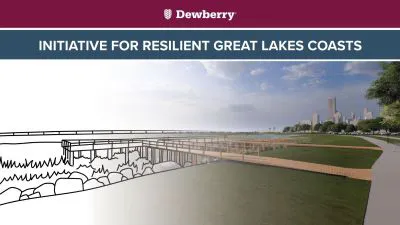
Senior Project Manager Sue Hoegberg shares about her team's partnership with the National Oceanic and Atmospheric Administration to restore shorelines along the Great Lakes through engineering, design, and community engagement.
Discover how our values, solutions, and years of experience come together to shape the built environment for our communities.
Our annual review and corporate social responsibility report, in one place.





Media and trade publications are permitted to use “Dewberry” as a shorthand to reference a particular Dewberry company. Third parties are not permitted to use Dewberry’s federally registered trademarks without Dewberry’s written consent.