August 26, 2020
Women in GIS
Stephanie Routh
More than 5,000 women from the U.S. to the coast of New Zealand have identified themselves on an ESRI map in an effort to strengthen the community of women in the GIS industry.

Discover project, people, and trend insights and news, shared as videos, publications, press releases, podcasts, and blogs.
258 insights
August 26, 2020
Stephanie Routh
More than 5,000 women from the U.S. to the coast of New Zealand have identified themselves on an ESRI map in an effort to strengthen the community of women in the GIS industry.

August 26, 2020
Sam Crampton
As our nation's dams continue to age, the importance of maintaining and preparing them for potential catastrophic failures has never been greater. A sudden failure of a dam can result in very rapid and severe flooding with the potential for damage to homes, businesses, and critical infrastructure…

August 26, 2020
Polina Lyamtseva
At this year's Esri International User Conference, more than 15,000 participants from more than 130 countries gathered in San Diego, California. While the weather was perfect—not a single cloud in the sky—the word "cloud" buzzed throughout the conference.
August 26, 2020
Jeffrey Poplin
Dewberry has many diverse practice areas, ranging from transportation and environmental engineering to the design of buildings and landscapes. I know I’m biased, but one of our practices links us all geographically: Geographic Information System (GIS) technology is vital to our industry—not just to…

August 26, 2020
Bill Massey
During emergency events, first responders need accurate and timely data, often requiring maps that are easy to access, update, and share. But sending large geospatial map files is a challenge because of recipients’ email capacities and computing system limitations. Many of our clients cannot…
August 26, 2020
Dan Williams
Managing the resources of a complex project is always critical to the success of the effort. Being more efficient in how we deploy resources, anticipate and avoid hazards, and reduce client costs are necessary actions. Dewberry’s Survey Management and Reporting Tool (SMART) is very effective in…
August 26, 2020
Brian Mayfield
In the remote sensing industry, I frequently encounter confusion regarding some of the most basic terminology for 3-D digital models—in particular, the digital elevation model (DEM) versus the digital terrain model (DTM). Many people use these terms interchangeably, but there are key differences…

August 26, 2020
Dave Maune
For the National Enhanced Elevation Assessment, being performed by Dewberry for sponsoring agencies of the National Digital Elevation Program, new “quality level” (QL) terminology has emerged for elevation data produced by different technologies with different vertical accuracy and horizontal…
August 26, 2020
Mehmet Secilmis
Last week Skip Notte blogged about his work as an Advisory Board member of Virginia Tech’s Land Development Design Initiative—one of the many ways in which Dewberry supports education and knowledge-sharing within our profession. I recently had a similar opportunity to share advances in our…
August 26, 2020
Corinne Bartshire
My colleague, Ellis Stanley, is a strong advocate for the role of communications in disaster planning and mitigation. As chair of the National Academy of Sciences’ Disasters Roundtable, Ellis writes and speaks frequently about the need for effective communications locally, nationally, and…
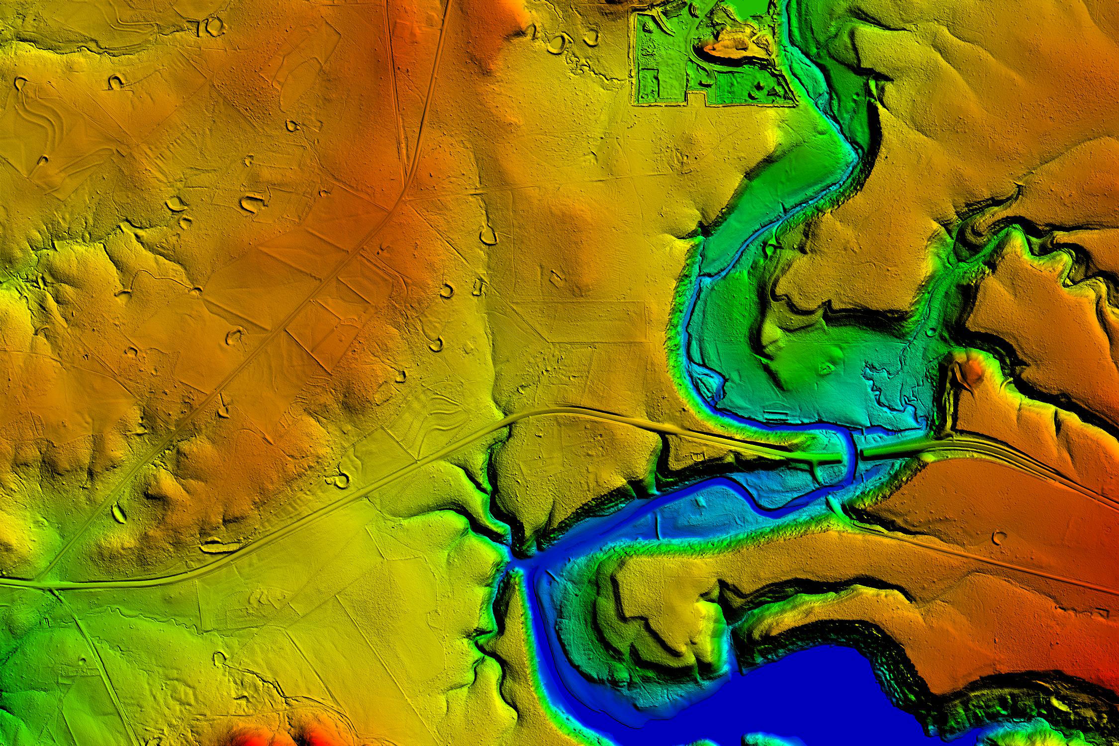
August 6, 2020
Firm named during 2020 GeoWeek virtual event.
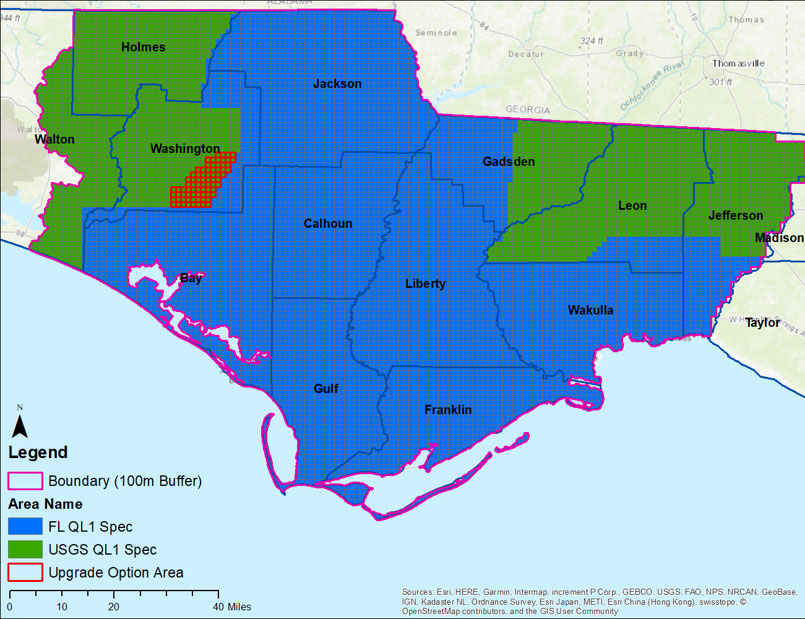
July 10, 2020
Firm to provide data for U.S. Geological Survey following widespread impacts of Hurricane Michael.
Discover how our values, solutions, and years of experience come together to shape the built environment for our communities.
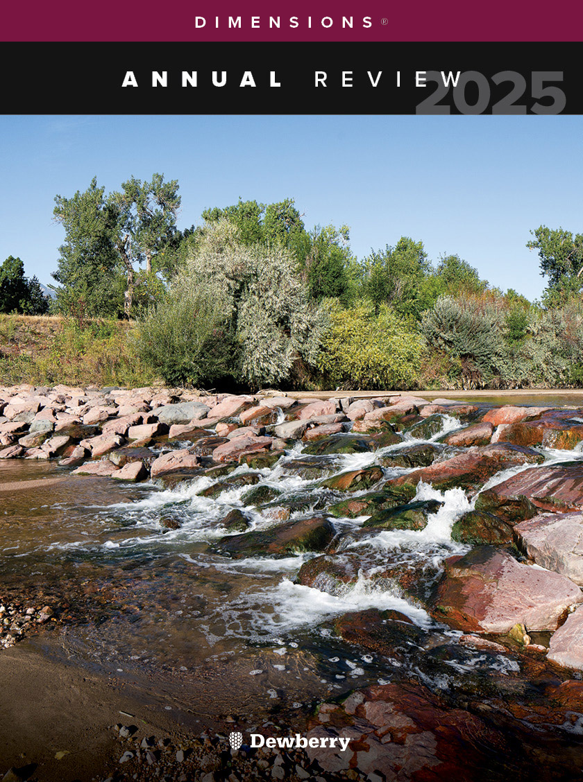
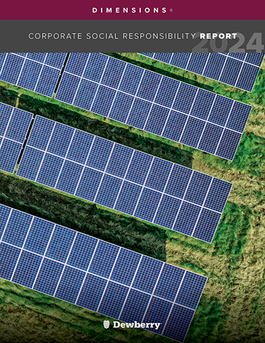
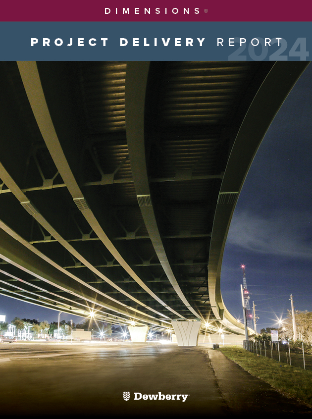
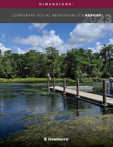
Our annual review and corporate social responsibility report, in one place.


Media and trade publications are permitted to use “Dewberry” as a shorthand to reference a particular Dewberry company. Third parties are not permitted to use Dewberry’s federally registered trademarks without Dewberry’s written consent.