North Carolina Sea Level Rise Management Study
Preventing Loss to Coastal Communities
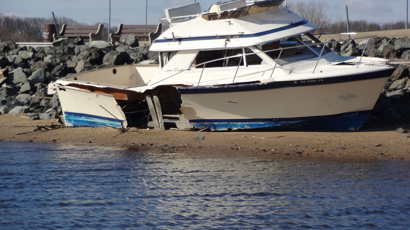
This study will serve as a model for other coastal states nationwide, to be implemented and used as a resource for local, state, and federal governments.
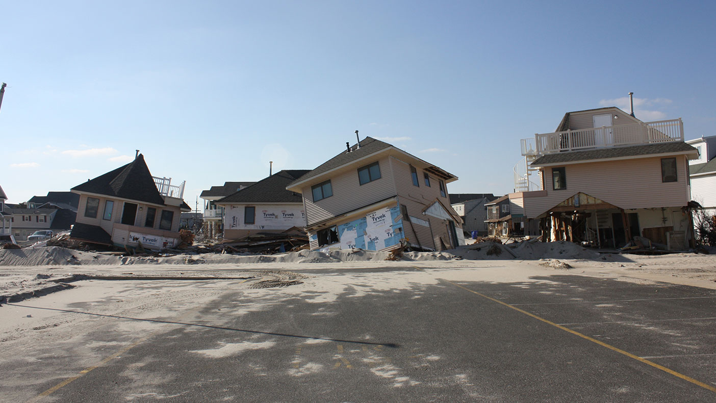
Changes in coastal flooding hazards are being evaluated through 2100 to examine future condition scenarios and impacts across all areas.
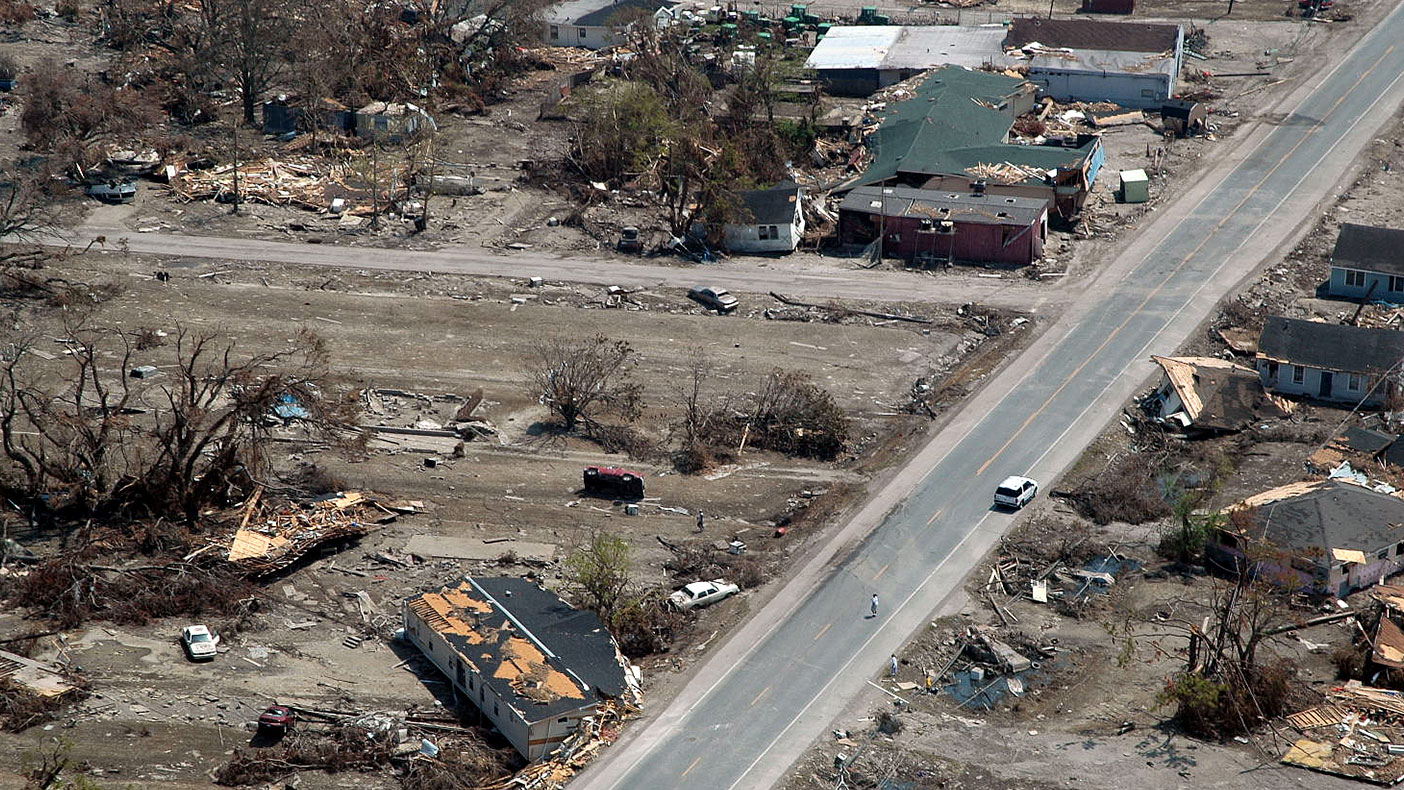
Funded by a $5-million grant from the Federal Emergency Management Agency, the study aims to be the most comprehensive sea-level rise study conducted in the U.S.
- Owner/Client
- North Carolina Department of Crime Control and Public Safety Office of Geospatial and Technology Management
- Location
- NC
- Square Mileage
- 2,300 SM
- Cost
- $5 million
- Completed
- 2012
- Region
- Southeast
With the largest estuarine system on the U.S. Atlantic coast, an extensive barrier island chain, and more than 2,300 square miles of vulnerable land, the state of North Carolina risks losing trillions of dollars in assets to rising sea levels. In 2009, we began collaborating with the Geospatial and Technology Management Office of the North Carolina Division of Emergency Management to kick off the North Carolina Sea Level Rise Risk Management Study, which will identify potential impacts related to sea level rise, coastal flooding, and erosion for 20 coastal counties in North Carolina.
20
North Carolina coastal counties
Related Projects

- Location
- Currituck County, NC

- Location
- Nationwide
- Location
- Prince George's County, MD

- Location
- Brooklyn, NY