Lake Apopka Monitoring
Restoring Our Marshlands
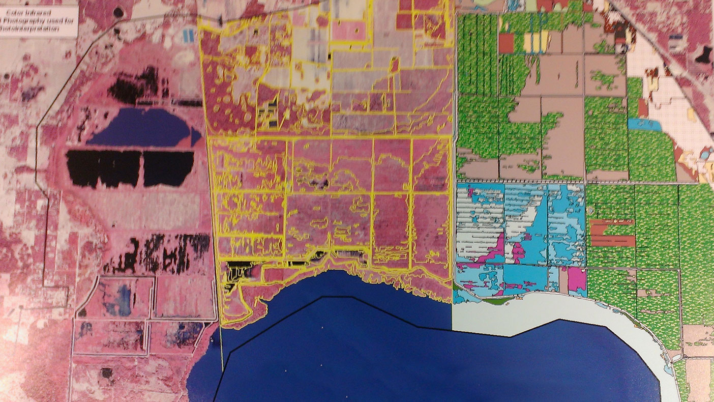
Color infrared imagery is used to map vegetation within the Lake Apopka restoration area. New imagery is acquired at regular intervals in order to map, document, and analyze changes.
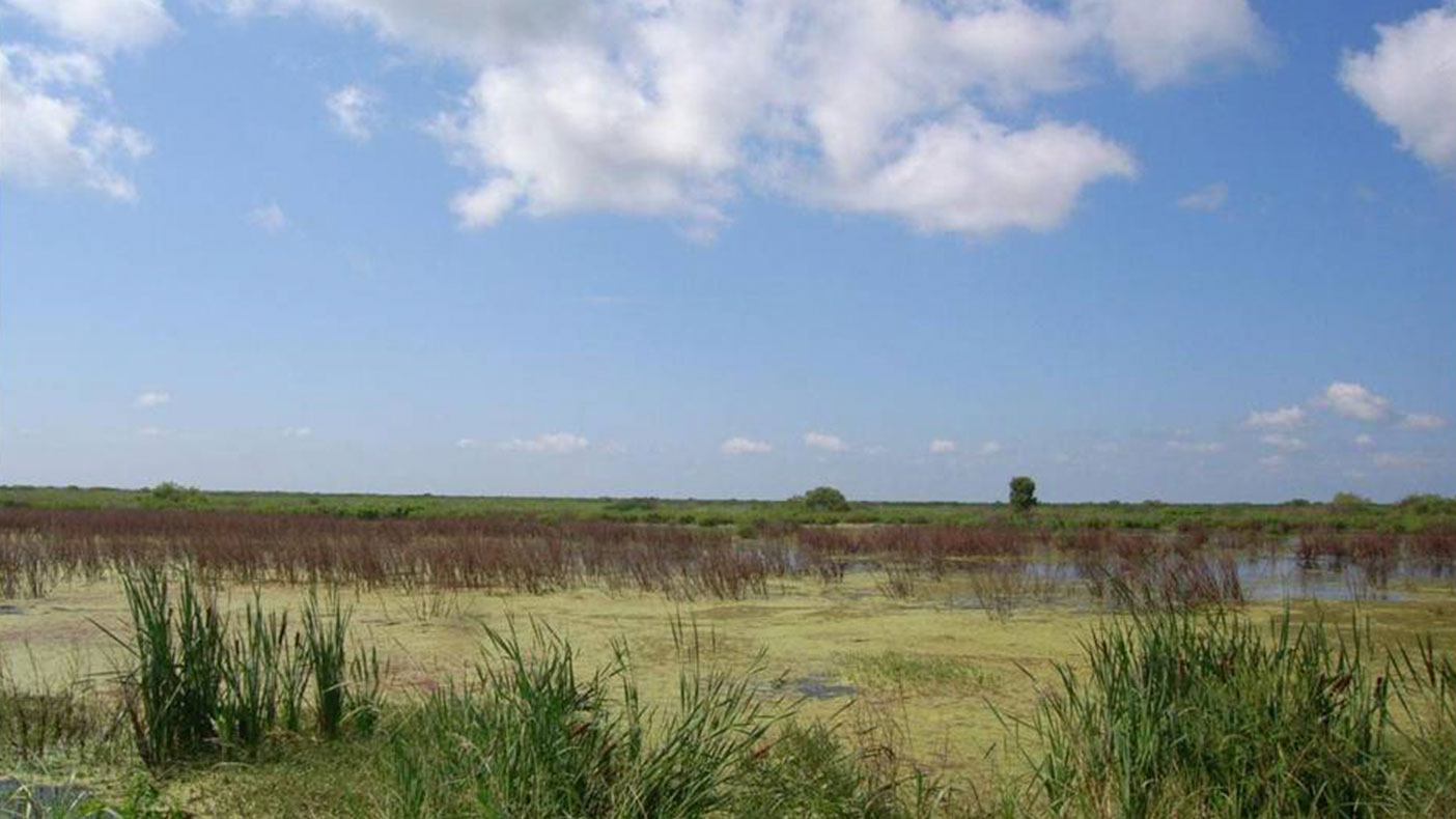
Plant community and species data provided through photointerpretation and field reconnaissance supply scientists with tools to assess the spread of invasive and native species.
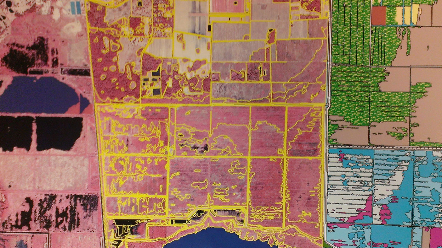
GPS and GIS record attributes such as plant species, soil type, location coordinates, hydrologic indicators, and map classification type for referencing during interpretation and mapping.
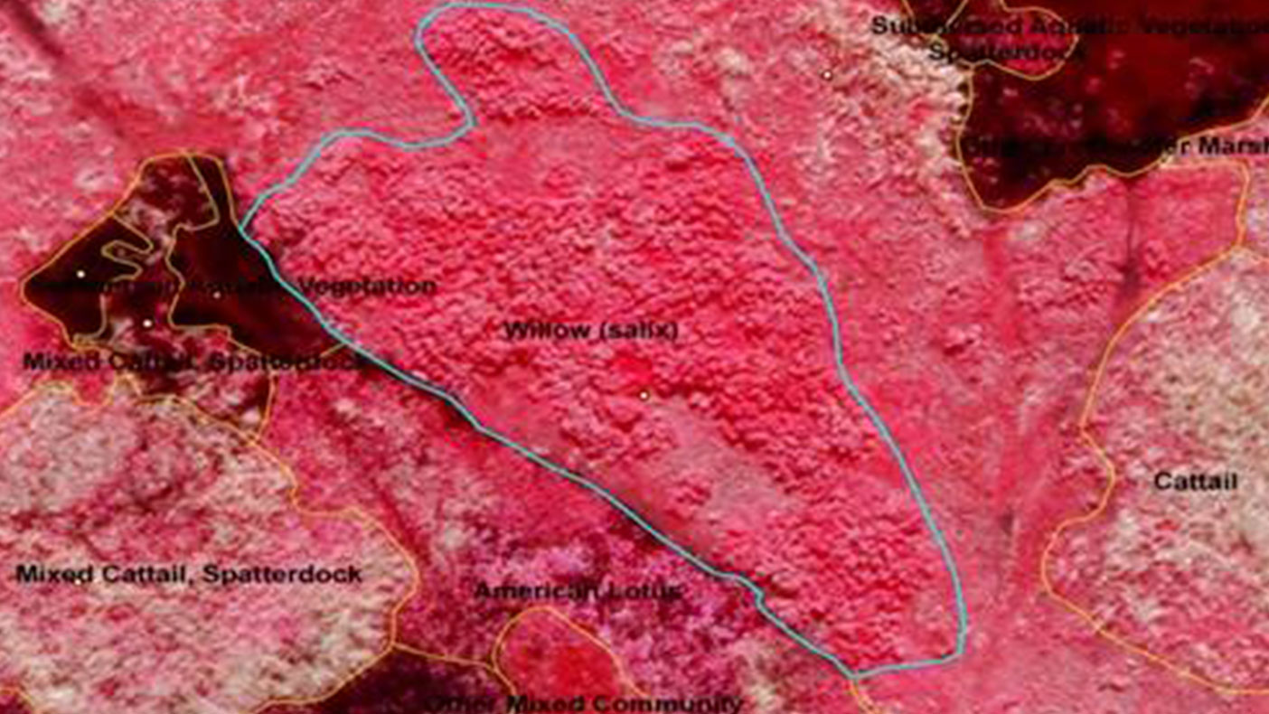
By comparing vegetation communities in 2007 to those in 2008, managers could identify the colonization of hydrilla, an exotic invasive, and take action to preserve the health of this freshwater pond.
- Owner/Client
- St. Johns River Water Management District
- Location
- Lake Apopka, FL
- Services
- Geospatial, Mapping, and Survey
- Markets
- Water
- Completed
- 2011
- Region
- Southeast
In order to evaluate restoration activities in the Lake Apopka area, we provide environmental scientists quantifiable documentation of changes in the area’s plant communities. Aquatic vegetation, emergent wetlands, and surrounding land cover are documented within an ESRI geodatabase. Photo interpretation and mapping are performed on digital photogrammetric workstations and supported by field reconnaissance designed for signature recognition and ground truthing. Our trend analysis process uses photo interpretation and GIS processing to compare and summarize vegetation changes as a measure of restoration success over time.
Related Projects

- Location
- Nationwide

- Location
- St. Louis, MO
- Market
- Federal
- Location
- Nationwide
- Location
- San Joaquin County, CA

- Location
- Louisa, VA
- Location
- Channel Islands National Park, CA