Lidar for LOMAs Pilot Study
Using Lidar to Evaluate Flood Risk
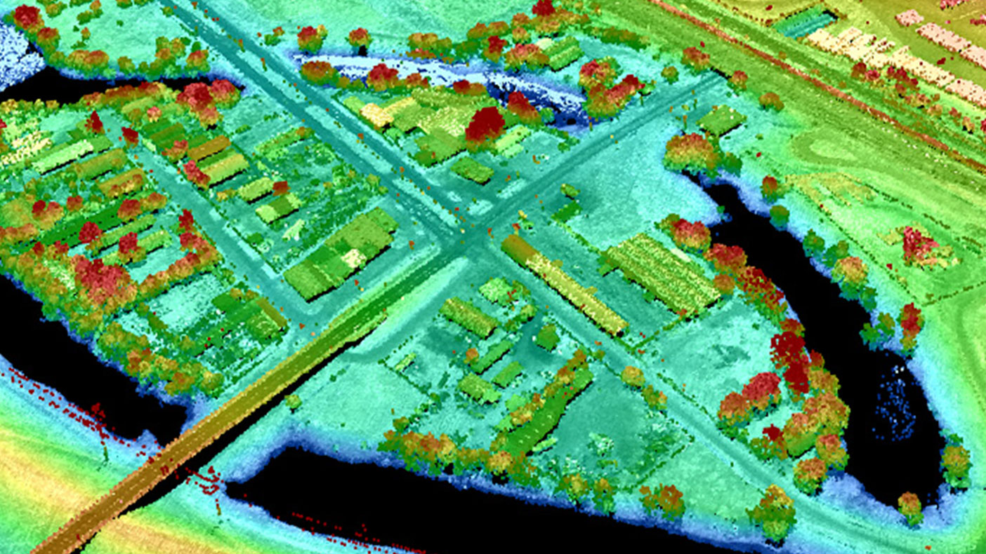
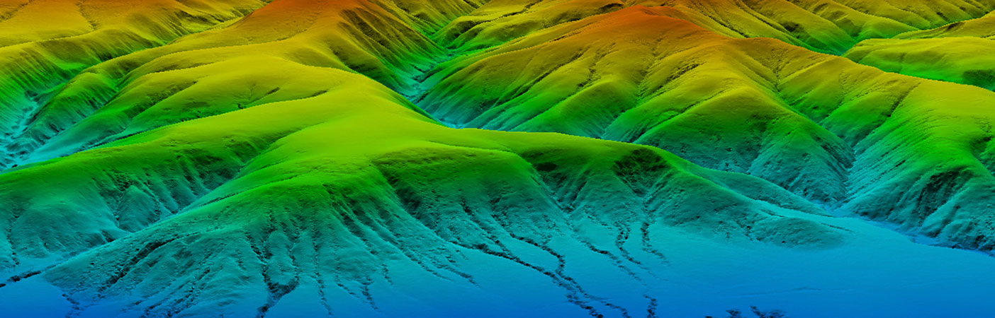
We used LiDAR data to locate and identify elevations of each property in order to perform a detailed flood risk assessment.
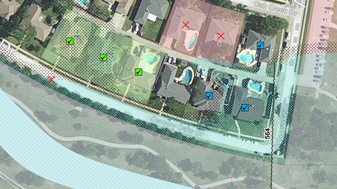
Our LiDAR data gave us more accurate flood risk assesment information with no cost to the property owner, helping to reduce flood insurance rates.
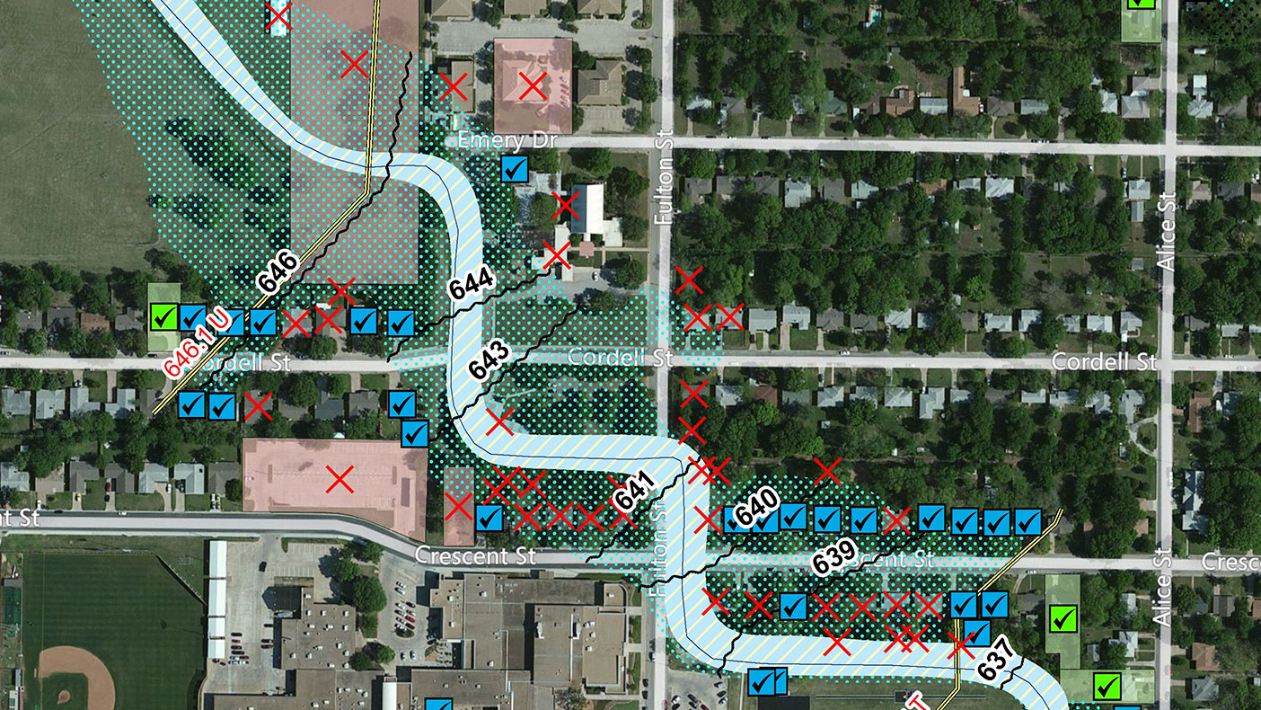
By automating a portion of the LOMA process and utilizing LiDAR data, we evaluated all properties in the flood risk area at one time, which led to cost savings for the client.
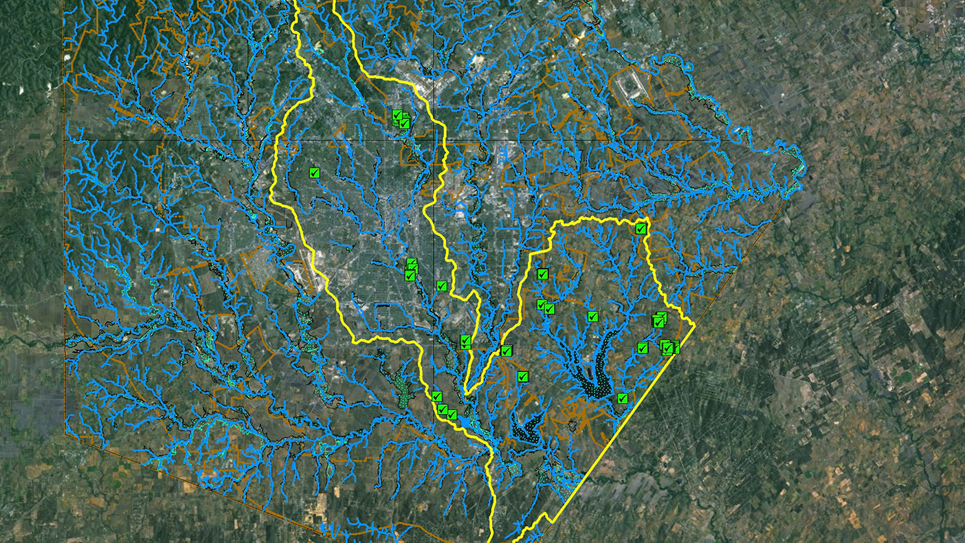
We issued 1,377 LOMA determinations in Denton County and 114 in Bexar County, as well as provided community outreach and support to those affected areas.
- Client
- FEMA
- Location
- Denton, TX
- Services
- Geospatial, Mapping, and Survey
- Completed
- 2012
- Region
- Southwest
As part of the RAMPP joint venture with URS and ESP, we performed a Letter of Map Amendment (LOMA) Lidar pilot study to gather elevation data for properties mapped as prone to flood risk in Denton and Bexar counties. Instead of individual property owners applying for LOMAs and paying a fee to have their property surveyed, FEMA – directed under Risk MAP – used the information to issue LOMAs for area properties. Our approach saved FEMA 86 percent over the normal cost to conduct the assessments and could be implemented more widespread in the future.
1,491
LOMA determinations issued
Related Projects

- Location
- Nationwide

- Location
- St. Louis, MO
- Market
- Federal
- Location
- Nationwide
- Location
- San Joaquin County, CA
- Location
- Louisa, VA
- Location
- Channel Islands National Park, CA