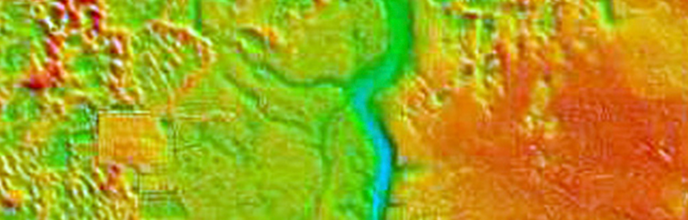
Louisa County High-Resolution Lidar
Locating Seismic Faults
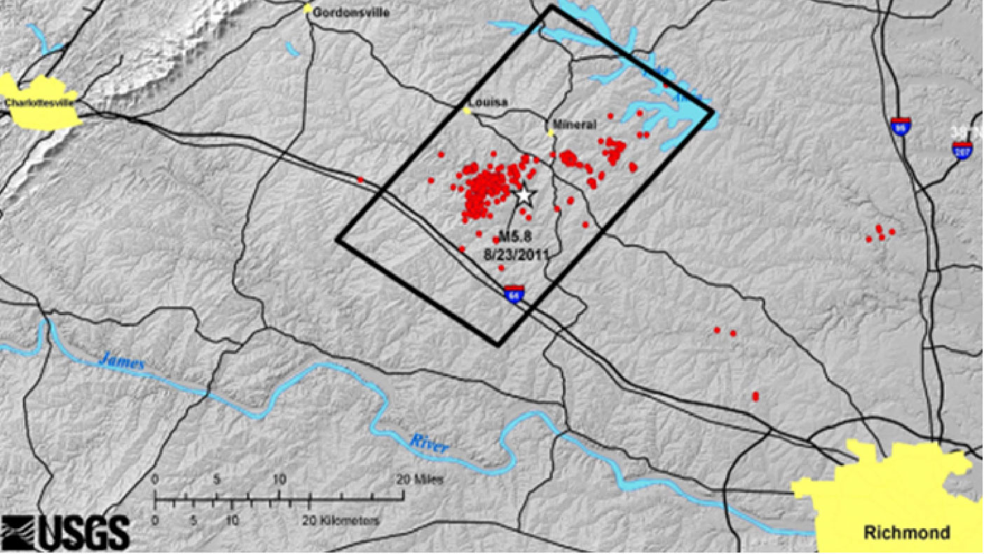
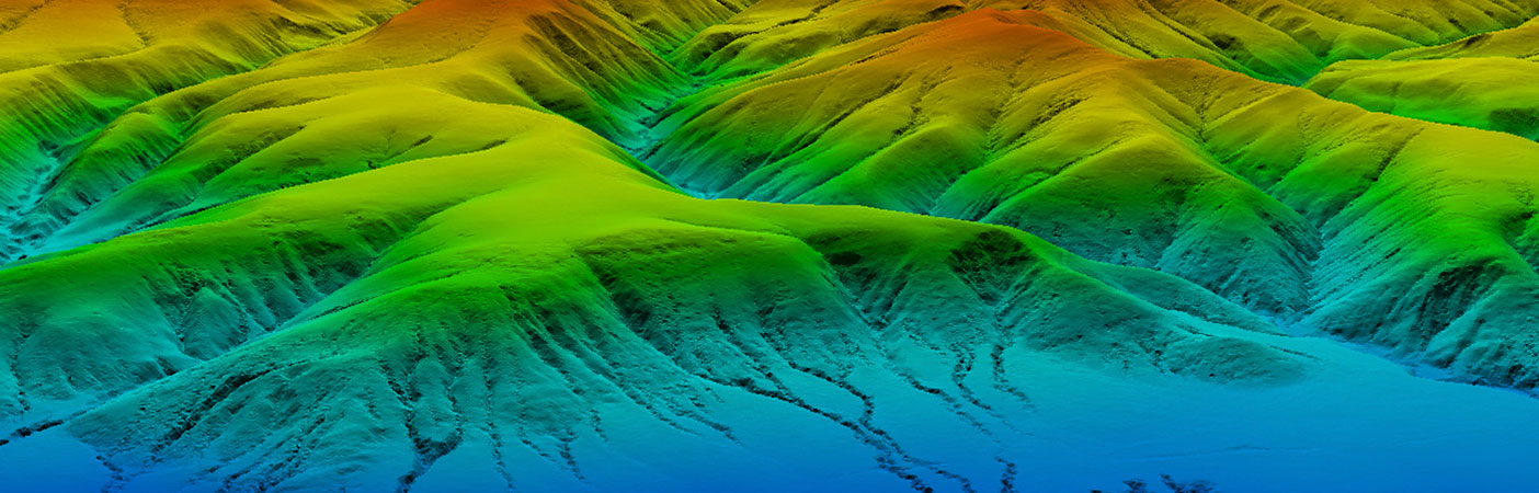
With our LiDAR data, USGS geologists were able to map earthquake faults not visible when walking on the terrain in central Virginia, including areas surrounding the North Anna Nuclear Power Plant.
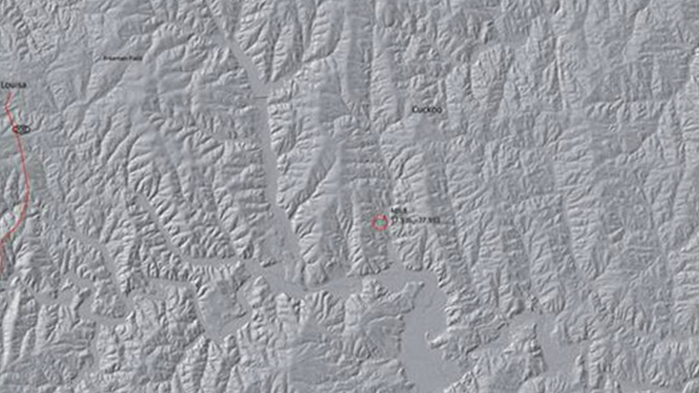
The LiDAR data we gathered revealed patterns in how the landscape has changed, which can be used to interpret regional tectonic effects. This improved knowledge of local earthquake faults may help mitigate losses during future earthquakes.
- Owner/Client
- U.S. Geological Survey
- Location
- Louisa, VA
- Services
- Geospatial, Mapping, and Survey
- Square mileage
- 270 square miles
- Completed
- 2012
- Region
- Mid-Atlantic
In August 2011, a 5.8-magnitude earthquake hit the East Coast, causing significant damage to the region. To identify subtle expressions of the quake, we captured lidar data with more than 14 points/m2 of a 270-square-mile area around the epicenter in Louisa County. Along with Laser Mapping Specialists Inc., the lidar data we gathered enabled USGS geologists to determine what point density was needed to detect seismic faults.
5.8
magnitude earthquake
Related Projects

- Location
- Nationwide

- Location
- St. Louis, MO
- Market
- Federal
- Location
- Nationwide
- Location
- San Joaquin County, CA
- Location
- Channel Islands National Park, CA