Coastal Flood Study
Supporting the Gulf Coast
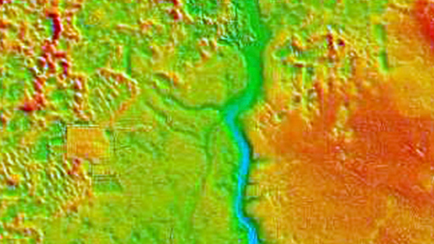
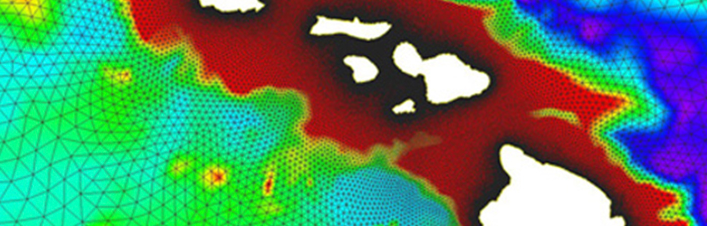
Storm surge modeling will be performed for the Gulf Region and will be refined for increased modeling resolutions within bays, inlets, streams, and estuaries.
- Client
- Northwest Florida Water Management District
- Location
- FL; AL
- Services
- Geospatial, Mapping, and Survey
- Completed
- 2010
- Region
- Southeast
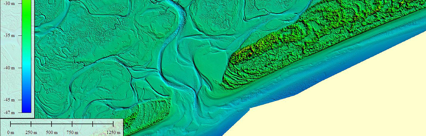
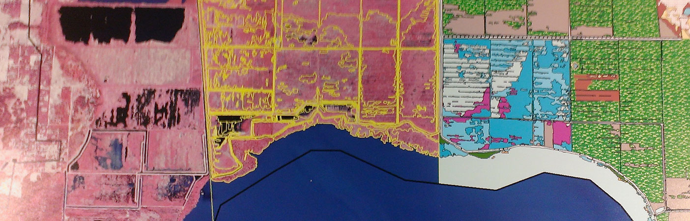
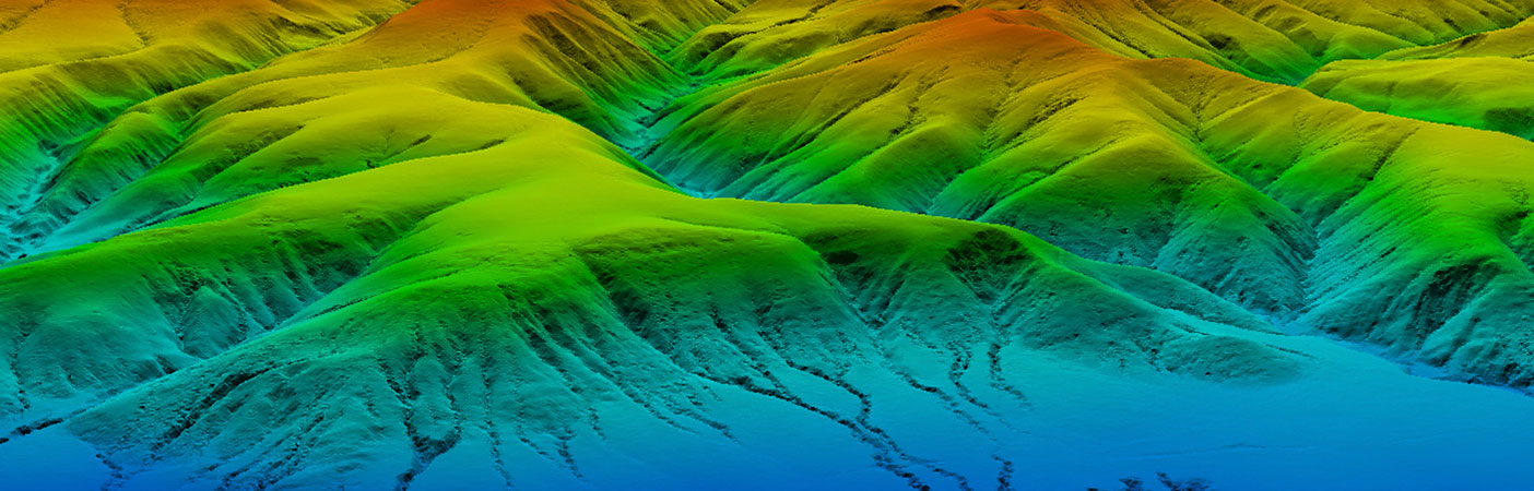
In support of the FEMA Map Modernization program, the Northwest Florida Water Management District (NWFWMD) and Dewberry/URS are updating and revising Digital Flood Insurance Maps (DFIRMs) and Flood Insurance Studies for 11 Gulf Coast counties. Storm surge modeling, coastal flood hazard analysis, floodplain mapping, and DFIRM production are being developed with the latest technologies:lidar-based topography, aerial digital ortho-photos, and semi-automated GIS mapping tools.
Related Projects

- Location
- Nationwide

- Location
- St. Louis, MO
- Market
- Federal
- Location
- Nationwide
- Location
- San Joaquin County, CA
- Location
- Louisa, VA
- Location
- Channel Islands National Park, CA